Download
1 / 18
180 likes | 349 Vues
Minnesota Geospatial Commons Test Implementation. Geospatial Commons Workgroup Jessica Deegan, Metropolitan Council Presentation to State Agency Geospatial Advisory Council July 13, 2010. Overview. Test implementation of the “Minnesota Geospatial Commons” What is it? Who is involved?

E N D
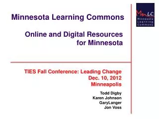
Minnesota Geospatial CommonsTest Implementation Geospatial Commons WorkgroupJessica Deegan, Metropolitan Council Presentation to State Agency Geospatial Advisory Council July 13, 2010
Overview • Test implementation of the “Minnesota Geospatial Commons” • What is it? • Who is involved? • Why do this? • When – timeline?
What is the “Commons”? • A single place we all go to find and share geospatial resources
Organization MetroGIS Policy Board MnGeo & Advisory Councils Coordinating Committee MnGeo Standards Technical Leadership Workgroup Geospatial Commons Workgroup Web Services Trust Issues Broker/Portal Implementation Identify Issues Define Requirements Identify Solutions Implement
Why Joint Workgroup? • Strong support at top and grass roots • MetroGIS, DNR, MnGeo, Mn/DOT • Previous work by Standards Committee • Opportunity to collaboratively develop one web place MnGeo Standards Technical Leadership Workgroup Geospatial Commons Workgroup Web Services Trust Issues Broker/Portal Implementation
Why Create It? • No single web location to find or share geo data in MN • Geo apps and web services even less accessible • Opportunities to share more directly/effectively behind the scenes • Users & Producers want it • Survey results of geo data consumers
Why Create It? User/Producer Survey • Nearly 540 respondents; from casual map user to GIS professional • Downloading data to use in desktop GIS still common – but increasing need for: • Finding data in alternative ways – e.g. Google Search • Demand for services, especially geocoding is prominent. • Easy linking between services and desktop or web applications
Why “Commons” • “Portal” = where you find. Belongs to some one else. • “Commons” = where you share. Belongs to all.
Key Functions - Find • Search • Structured interface • Spatial (e.g. bounding box) • Metadata • Google accessible • Catalog (viewable page) • Registry (back end database)
Key Functions - Evaluate • Metadata viewer • Map viewer • Download data or connect to web services • User Reviews (quality, reliability, etc.) • Web service monitoring
Key Functions - Share • Publish • Metadata • Data for download • Services for consumption • Feeds (RSS & Twitter) • News/discussion • Shared development space • Best practices
Key Functions - Administration • Catalog maintenance • Harvesting • Security & User management • Registry of web service users • Governance
Project Plan – Key Points • Test implementation with ESRI GeoPortal Extension • MnGeo is hosting • Roughly 300 person hours • Sign off on resource commitment by 4 agencies (project sponsors) • Demo at GIS/LIS Conference in Oct.?
Final Points • Driven by producers • Solid business needs • Strong executive commitment • Highly talented workgroup
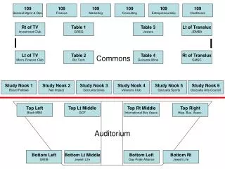
Active Workgroup Members • Chris Cialek, MnGeo • Jessica Deegan, Met. Council • Jim Dickerson, MnGeo • Jessica Fendos, DEED • Josh Gumm, Scott County • John Harrison, Mn/DOT • Mark Kotz, Met. Council (Chair) • Susanne Maeder, MnGeo • Chris Pouliot, DNR • Nancy Rader, MnGeo • Hal Watson, DNR • Paul Weinberger, Mn/DOT
DataDownload EOC MetroGIS Geocoding Service Flood Level I need to know… Point Coordinates Point Coordinates Query Address Information Feedlots Aerial Photos Water Quality Dept. Agriculture Stream ID MPCA MnGeo DNR What are Web Services? Environmental Mapping Commons Elevation Data
What are Web Services? • Designed for easy sharing • Waiting there to use on the Internet • Real Time! – no need for downloads/updates • No need to centralize all data back