Download
1 / 15
180 likes | 377 Vues
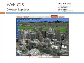
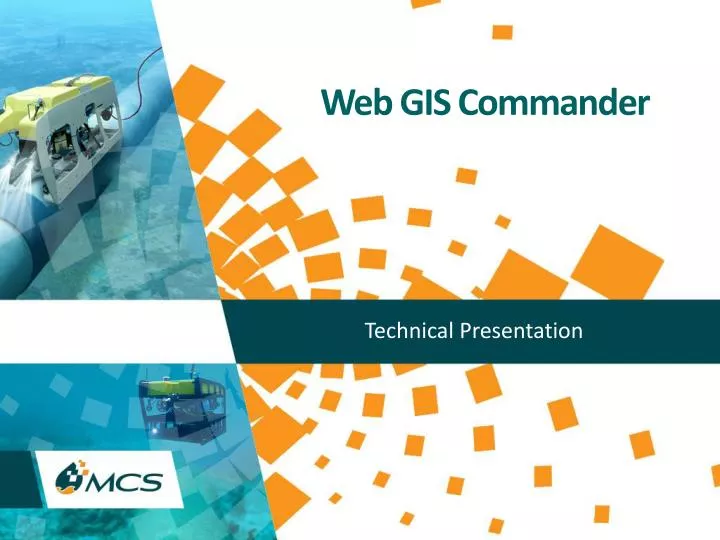
Web GIS Commander. Technical Presentation. WEB GIS COMMANDER. MCS Web GIS Commander is. Web-based GIS (Geographical Information System) for operating Oil and Gas companies to access and analyze offshore fields infrastructure information from anywhere around the globe on 24/7 basis.

E N D
Web GIS Commander Technical Presentation
WEB GIS COMMANDER MCS Web GIS Commander is • Web-based GIS (Geographical Information System) for operating Oil and Gas companies to access and analyze offshore fields infrastructure information from anywhere around the globe on 24/7 basis. • MCS Web GIS Commander offers the following: • Centralized geographical data management and analysis tool. • Multi user web based server application. • Scalable software solution that can be expanded to cover most existing data formats and large amounts of data. • Flexible for integration with current existing databases. • Tailored software solution to suit customer special needs.
WEB GIS COMMANDER Data Flow Web GIS Commander is the focal point of all offshore pipelines and platform data; authorized users have access to Pipeline Commander Viewer and Platform Commander Viewer data.
WEB GIS COMMANDER Types of Data that can be stored / reviewed from Web GIS Commander: • Site Survey • Route survey • Well site survey • As-laid and As-built surveys • NDT survey • Installation survey • Geotechnical survey • Rig Moves • Platform 3D model • Survey and marine activities information • Detailed charts and reports for surveys • Video clips for every event • Ability to open pipeline and platform viewers from GIS • Historical installation reports for pipe, platform and structure data
WEB GIS COMMANDER MCS Web GIS Commander Interface Web GIS Commander Interface: All Pipeline and Platform Inspection data are collected in a single GIS database to become accessible by any number of users through the Web 24/7.
WEB GIS COMMANDER MCS Web GIS Commander Interface Web GIS Commander Interface: Powerful Search Tool that allows data querying.
WEB GIS COMMANDER MCS Web GIS Commander Interface Web GIS Commander Interface: Browse Pipelines data.
WEB GIS COMMANDER MCS Web GIS Commander Interface Web GIS Commander Interface: Data exported to Excel sheet.
WEB GIS COMMANDER MCS Web GIS Commander Interface Web GIS Commander Interface: Detailed Charts.
WEB GIS COMMANDER MCS Web GIS Commander Interface Web GIS Commander Interface: Platform 3D model
WEB GIS COMMANDER MCS Web GIS Commander Interface Web GIS Commander Interface: Rig Move Data
WEB GIS COMMANDER MCS Web GIS Commander Interface Web GIS Commander Interface: Adding Grid and plotting Charts.
Web GIS Commander Benefits
WEB GIS COMMANDER MCS Web GIS Commander Benefits • Easy to use web based geographical information system. • Allows collecting, storing and distributing charts, reports, images, videos for different survey and inspection projects. • Powerful search tool that allows data querying. • Search output can be exported to excel sheets. • Allows plotting charts at any scale. • Accepts all standard survey reports and charts data formats supplied by any survey company. • Links to ROV Pipeline Commander Viewer and ROV Platform Commander Viewer to browse Inspection data acquired by MCS