Download
1 / 13
130 likes | 662 Vues
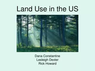
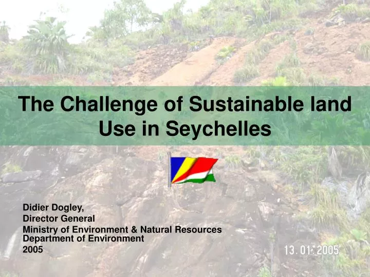
The Challenge of Sustainable land Use in Seychelles. Didier Dogley, Director General Ministry of Environment & Natural Resources Department of Environment 2005 . Contents. Problem Scenario Approaches to solve the problem Other measures and tools Results/ Impacts

E N D
The Challenge of Sustainable land Use in Seychelles Didier Dogley, Director General Ministry of Environment & Natural ResourcesDepartment of Environment 2005
Contents • Problem Scenario • Approaches to solve the problem • Other measures and tools • Results/ Impacts • Strengths and shortcomings of the process • Conclusion
Problem Scenario • Seychelles islands are granitic or sand cays. Main Granitic island are characterized by a narrow coastal strip and a central massive with steep slopes • Most economic and other form of Development located on these narrow coastal strips • 90% of the 80 000 population live on Mahé and about 40% of which live on a belt of 7km by 3 km • Population density of greater Victoria is 450 persons/km² • Overall the current national population density is 178 persons/km² • Land is subject to severe competition amongst potential conflicting uses • The Division responsible for physical planning is increasingly under strain brought about by increased economic activities and development
This has lead to the following detrimental actions • Difficulty to enforce regulations due to lack of manpower and resources • Indiscriminate and uncontrolled lighting of fire and felling of trees to clear land for development • Construction on sensitive or in high risk areas including hillsides, sand dunes and beaches • Filling of wetlands and marshes • Application of agricultural practices which are detrimental to soil conservation • Resulted in increased forest fires, coastal and hillside erosion, land degradation, including conflicts between various development sectors
Approaches to solve the problem • Legislations and Regulations: - More than 100 pieces of legislation and regulations - Enforcement of existing laws and regulation - vital to success • Town and Country Planning Act, 1972(currently being reviewed) • Environment Protection Act, 1994- Environment Impact Assessment Class1 and Class 2 for different types of development and approval from DoE. • Breadfruit and other Trees (Protection) Act, 1917 (currently being reviewed) require authorization from DOE for lopping and felling of trees. • Stateland and Rivers Reserves Act, 1991 • National Park and Nature Conservancy Act, 1992 • Lighting of Fire Act- requires authorization from DoE for burning purposes
Other measures and Tools • Plans and Strategies • 5 years National Development Plans • The National Land Use Plan (PAT) • Environment Management Plans of Seychelles 1990-2000 and 2000-2010 • Various projects have been set up to improve both planning processes and management in Coastal Zones • 500 hectares of land has been reclaimed from the sea during the last 25 years.
Maps of Sensitive zones- applies to both environmentally sensitive zones and areas prone to risks. • Territorial Management Plan of Seychelles (reviewed)- limit development to certain specific areas e.g. no construction in areas above 400m altitude. • Redirecting economic activities and growth in underdeveloped areas • Centralise System of Geographical Information System- use of aerial photos and arc view computer programme in planning processes. • Sustained Awareness and Education Campaign by the DoE- using various forms of media. • Disaster Coordination Secretariat and Contingency Plans- clear division of labour and responsibilities • Promote the use of quarry construction materials- reduce the use of beach sand.
Results/ Impacts • Significantly reduced the number of forest fires and related negative impact on environment. • A marked reduction in construction in sensitive areas and high risk areas. • Less damages to infrastructure and property by natural disasters such as land slides, tree fall and storms. • More high class tourism development redirected to underdeveloped areas including outer coral islands. • An increase in participation and advocacy by civil society in reaforestation and environmental protection initiatives. • Application of best practices in the farming sector.
Strengths and shortcomings of the Process • Strengths: • Seychelles has a distinguished history for its environmental protection efforts • Policies and strategies are already in place although they may require to be reviewed from time to time. • Infrastructure and related institutions exists and are man by adequately trained personnel • Policy makers and local population understand and are aware of the need for proper physical planning and the fragility and vulnerability of both the island state ecosystems and the economy. • Sufficient funds are available to implement the core activities of the agencies responsible for physical planning and land Use
Weaknesses • Scarcity of land still remains a major challenge especially for construction of social housing. • Limited number of human resources • Requires high input of human, technological and monetary resources • Laws still fragmented and needs to be harmonise. • National Territorial Plan needs to be reviewed • Planning application process still too cumbersome and needs streamlining.
Sustainability • Present Physical planning system is to a certain extent sustainable • It relies mostly on input from annual government budget allocations and fees paid by developers. • However enforcement of legislation will continue to require political will and support. • More qualified manpower will be required during economic boom periods • Donor financial support will be required to improve use of upgraded versions of new technologies e.g. GIS and the harmonization of existing legislations.