Download
1 / 27
270 likes | 373 Vues
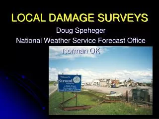
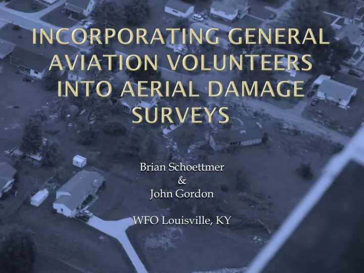
Incorporating general aviation volunteers into aerial damage surveys. Brian Schoettmer & John Gordon WFO Louisville, KY. Outline. Ground Survey Limitations/Improvement Ohio/Grayson/Hardin County Supercell Value of Video Road Map for Implementation Mutual Understanding Between Partners

E N D
Incorporating general aviation volunteers into aerial damage surveys Brian Schoettmer & John Gordon WFO Louisville, KY
Outline • Ground Survey Limitations/Improvement • Ohio/Grayson/Hardin County Supercell • Value of Video • Road Map for Implementation • Mutual Understanding Between Partners • Wrap Up
Ground Survey Limitations Damage occurs in places that cannot be easily accessed… Damage in heavy terrain 0.5 miles from road will not be seen If A Tree Falls In The Woods… …Was There Really Damage?
Limitations – Population Bias? Tornado Tracks: 1830 - Present Legend (E)F-0 (E)F-1 (E)F-2 (E)F-3 (E)F-4 (E)F-5
Other Survey Limitations • Divergent Vs. Convergent Signatures • Big picture easier to see from the air • Time Consuming • Ground surveys are inefficient • Length/Width/Start/End • Fine details are harder to determine from ground • Embedded Signatures • Tornadic signatures embedded in overall straight line wind damage – common in Ohio Valley QLCS storms
How Do We Improve Surveys? • Multi-disciplined team approach for a more comprehensive survey Broadcast Media Structural Engineers Better Surveys! General Aviation Pilots NWS Meteorologists
Why Not The Civil Air Patrol? The Civil Air Patrol is a GREAT resource… However… Not always feasible due to budget constraints and timeliness issues.
Our First Volunteers! Photographer/Flight Instructor Glen Norman Pilot Roy Cantrall
Ohio/Grayson/Hardin County Supercell Tornado? Scud? Funnel Cloud? Sparked heavy media interest…however no damage reports from the area
Flight Path Surveyed EF-1 Here EF-2 & EF-0 Here Videos Shot Here
Photos From The Survey Damage signatures clearly convergent
Photos From The Survey Storm Motion
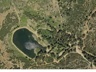
Other Photos From Flights Huntingburg, IN
Ohio County Flooding Oil Rig Oil Slick
Value Of Video Quickly indentify scour marks not easily seen on ground Quick overview Distance debris scattered Path length and width easily identified Survey places that cannot be reached on foot Identify breaks in path or continuous
Roadmap for Implementation • Recruit pilots at local airports with an • attractive brochure • Speak to local pilot • groups • Set up local office • procedures/guidelines to follow • NWS Jackson, KY • now participating
Roadmap for Implementation Easily accessible Google Earth KML file with volunteer pilot locations, range, contact info, etc. located on a shared office drive.
Highlight The Positives Unique Entry Into Pilot Log Book Receive An Awesome Plaque! Be An Integral Part In Rating Storm Damage Partner with the NWS
Plaque Presentation Plaque presentation in front of a Piper Cherokee 140 at Addington Field, Elizabethtown, KY. Left: Glen Norman (photographer) Middle: Roy Cantrall (pilot) Right: Brian Schoettmer
Publicity AOPA Online’s Dan Nimowitz wrote an article about the program and our first volunteers
Mutual Understanding Pilots must clearly understand this is a volunteer program Pilots cannot be compensated Pilots cannot be asked to fly, they must already be planning to fly that day
Detailed Flight Map River/Lake Airport • Be sure the pilot has a specific path with recognizable landmarks to follow. • Example…cities, rivers, lakes, airports, etc. • Don’t send them on a “Wild Goose Chase”.
Future Pilot Recruiting Oil Pipeline Aircraft Local Media More local pilot groups, airshows, etc. State Police