Download
1 / 18
180 likes | 276 Vues
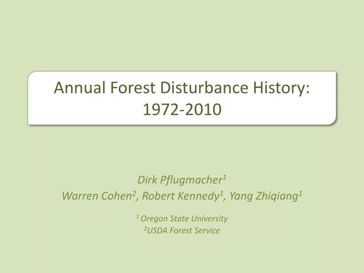
Annual Forest Disturbance History: 1972-2010. Dirk Pflugmacher 1 Warren Cohen 2 , Robert Kennedy 1 , Yang Zhiqiang 1 1 Oregon State University 2 USDA Forest Service. Annual Forest Disturbance History: 1972-2010. Background :

E N D
Annual Forest Disturbance History: 1972-2010 Dirk Pflugmacher1 Warren Cohen2, Robert Kennedy1, Yang Zhiqiang1 1 Oregon State University 2USDA Forest Service
Annual Forest Disturbance History: 1972-2010 • Background: • Annual time-series to detect slow and abrupt forest change (e.g. LandTrendr) • Improved MSS radiometry • Potential to extent annual disturbance history to 1972 • Can we combine MSS and TM data for time-series analysis? • MSS-TM differences in spectral bands • Radiometric and geometric quality of MSS Landsat annual time-series algorithm: LandTrendr (Kennedy et al. 2010)
Annual Forest Disturbance History: 1972-2010 • Study area • Location: Pacific Northwest, Eastern Oregon, Blue Mountains • Forest type: Conifers (Ponderosa pine, Douglas fir, Western Juniper, Larch), Hardwoods confined to riparian areas • Disturbances: thinning & clear-cut harvest, insect outbreaks and frequent low intensity fires, grazing • Precipitation: 305 mm-1,270 mm • Terrain: mountainous (~500-2700m) • WRS-1: 4329, WRS-2: 4629-4729
Annual Forest Disturbance History: 1972-2010 Method: Compile Image Stack • Vegetation period (Jul/Aug) • Annual images 1972-2010
Annual Forest Disturbance History: 1972-2010 Method: Compile Image Stack • ~80% L1T corrected • 63% of L1T scenes show RMSE > 1 pixel, 20% > 1.5 pixel. • -> Further geometric correction of L1T required for accurate time-series analysis • Automated image tie-point program (Kennedy and Cohen, 2003) and 2nd-order polynomial transformation reduced RMSE < 0.5 pixel • Finaltemporal coverage: Geometric correction
Annual Forest Disturbance History: 1972-2010 • Method: • Vegetation indices used in univariate time-series algorithms • NDVI, Tasseled Cap for MSS & TM/ETM+ • TM & MSS tasseled cap conceptually similar in the first two components • Calibration is required between MSS and TM data to bridge sensor differences (e.g. spectral and dynamic range) • SWIR-based indices work better (NBR, Wetness), but MSS lacks SWIR band Compile Image Stack Geometric correction Vegetation indices Forest Angle Soil Powell et al. (2010)
Annual Forest Disturbance History: 1972-2010 • Calibration Step 1: • Post-calibration dynamic ranges changed with new LPGS-processed MSS data, plus they vary between MSS sensors • Converted Kauth et al. (1979) coefficients such that new MSS TC aligns with the Kauth transformation • QRGR + BR= LR • QRGR + BR = QG + B • QR =(E*B-BR)/GR + Q*E*G/GR • BA GA 4) 5) 6) Standardized TC-coefficients
Annual Forest Disturbance History: 1972-2010 • Calibration Step 2: • Automatic Radiometric Normalization (Canty et al. 2004) • Normalize all images to a single reference • Based on pseudo-invariant pixels • Reference: atmospherically corrected TM image • Mean correlation no-change pixels: 0.98 Compile Image Stack Geometric correction Vegetation indices Radiometric Normalization Greenness Brightness Angle Reference Reference Reference Uncalibrated Uncalibrated Uncalibrated
Annual Forest Disturbance History: 1972-2010 Coincident MSS/TM Strong correlation between MSS and TM Tasseled Cap TM Greenness (scaled) TM Angle (scaled) TM Brightness (scaled) angle brightness greenness MSS Brightness (scaled) MSS Greenness (scaled) MSS Angle (scaled)
Annual Forest Disturbance History: 1972-2010 MSS/TM time series Compile Image Stack Geometric correction Brightness x 10 Vegetation indices Radiometric Normalization Greenness x 10 Cloud Masking Link MSS/TM time series Angle x 10
Annual Forest Disturbance History: 1972-2010 MSS/TM time series R: Brightness G: Greenness B: Angle Landsat TM
Annual Forest Disturbance History: 1972-2010 Harvest followed by regrowth Brightness Greenness Angle
Annual Forest Disturbance History: 1972-2010 Fire preceded by insect damage: Brightness Greenness Angle
Annual Forest Disturbance History: 1972-2010 Alignment of time series 1. Image-level normalization Angle x 10 RMSE= 3.1 (+/- 1.2 SD) 2. Pixel-level MSS alignment Angle x 10 3. Combined time series Angle x 10 Year
Annual Forest Disturbance History: 1972-2010 Compile Image Stack Geometric correction Vegetation indices Radiometric Normalization Cloud Masking Link MSS/TM time series Time-Series Model (LandTrendr)
Annual Forest Disturbance History: 1972-2010 • Method Summary: • 3-step calibration of MSS tasseled cap • MSS TC coefficient adjustment • Scene-level radiometric normalization • Pixel-level MSS-to-TM alignment
Annual Forest Disturbance History: 1972-2010 • Summary: • High correlation between MSS and TM tasseled cap components • Comparison of MSS and TM time-series indicates good agreement in the overlapping time period • Both abrupt and slow disturbance seem to be captured across the time series • TC ANGLE is promising to describe annual forest change history between 1972-2010 using time-series models such as LandTrendr
Annual Forest Disturbance History: 1972-2010 Acknowledgements USGS EROS NASA Earth Science Fellowship