Download
1 / 14
220 likes | 2.02k Vues
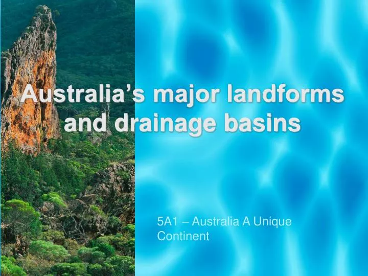
Australia’s major landforms and drainage basins. 5A1 – Australia A Unique Continent. Syllabus Agenda. major landforms and drainage basins patterns of: climate weather Vegetation unique flora and fauna. Syllabus Agenda.

E N D
Australia’s major landformsand drainage basins 5A1 – Australia A Unique Continent
Syllabus Agenda • major landforms and drainage basins • patterns of: • climate • weather • Vegetation • unique flora and fauna
Syllabus Agenda • identify and represent Australia’s major physical features and patterns on a variety of maps • describe Australia’s major physical features and patterns • explain the interrelationships that exist in the physical environment of Australia
Introduction • Australia is the flattest continent, with an average height of only 330 metres above sea level. • It is also the driest inhabited continent with an average annual precipitation of 450 mm and the lowest flow from its rivers compared with other continents. • However, these averages disguise the wide variety of unique topographic features and river regimes that are found within this continent of extremes.
Learn the Lingo Topography - characteristics of land in terms of slope, elevation and orientation Landform - A landform is an individual topographic feature, which can be as minor as a cliff or a sand dune, or as major as a peninsula or a mountain range Catchment –an area drained by a river Metamorphic – a type of rock changed by great heat and pressure Geomorphologist- a geographer who studies the formation of landforms
Major physical regions Australia has 3 major physical regions: • the Western Plateau • the Central Lowlands and • the Eastern Highlands These landform regions have been created by movements in the Earth's crust, river erosion and changes in climate and sea level.
Australia’s 3 major landforms Eastern Highlands Western Plateau Central Lowlands
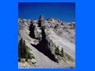
The Eastern Highlands • Are characterised by the Great Dividing Range which is not one mountain but a collection of many loosely connected ranges. • The range extends north to the Cape York Peninsula in QLD and south to Tasmania. • These were formed by faulting, folding and some volcanic activity but have largely been eroded by water to create areas of deep gorges and valleys such as the Blue Mountains.
The Central Lowlands • Occupy parts of inland QLD, NSW, Vic and SA • They are drained by Lake Eyre and the Murray Darling River system
The Western Plateau • Consists of vey old rocks, formed under the shallow seas and uplifted millions of years ago. It covers 1/3 of the continent. • Approx 70% of the Western Plateau is composed of deserts. • The Nullabor Plain, Arnhem Land and the Kimberley are all part of this landform.
Rivers and drainage basins • A drainage basin is an area of land where surface water from rain and melting snow or ice converges to a single point, usually the exit of the basin, where the waters join another waterbody, such as a river, lake, reservoir, estuary, wetland, sea, or ocean. • In closed drainage basins the water converges to a single point inside the basin, known as a sink, which may be a permanent lake, dry lake, or a point where surface water is lost underground. • The dividing line between drainage basins is known as a watershed. • Two of the largest drainage basins in Australia are the Murray–Darling Basin and the Lake Eyre Basin, which each cover an area of over 1 million square kilometres. Percentage run off for each Basin
Murray-Darling Basin The Murray–Darling Basin contains the three longest rivers in Australia—the Murray, the Darling and the Murrumbidgee. The Darling and its tributaries (a stream or smaller river that flows into a main river) drain the northern half of the basin. They contribute 12 per cent of the flow to the Murray River. The Murrumbidgee and its tributaries drain central and southern New South Wales. They contribute 13 per cent of the flow to the Murray River. The Murray and its tributaries upstream of the Murrumbidgee junction drain central and northern Victoria and southern New South Wales. Under average conditions this region contributes 75 per cent of the flow to the Murray.
Lake Eyre Basin The largest drainage basin in Australia is the Lake Eyre Basin covering an area of 1.2 million square kilometres. It is one of the largest internal drainage systems in the world. When there is water in the creeks and rivers they flow inwards towards Lake Eyre, but as the area is almost flat they flow slowly and a large amount of water is lost through evaporation. One of the rivers in the basin is the Finke River that only flows on a few days each year. It is thought to be the oldest river bed in the world. Starting west of Alice Springs, its water disappears in the Simpson Desert and is believed to have reached Lake Eyre on only one occasion last century
Activity You work for National Geographic and have been given the task of creating a feature article on one of the following: • Franklin River (Eastern Highlands) • Lake Eyre Basin (Central Lowlands) • Uluru (Western Plateau) • Australian Alps (Eastern Highlands) In your article you need to answer key geographical questions • What is it? • Where is it, • Is it changing/moving? • What makes it a special tourist attraction? • Include maps, pictures