Download
1 / 15
150 likes | 665 Vues
Travertine Deposits as Records of Urbanization Impacts, Austin, TX. Laura M. DeMott December 1, 2005. Outline. Background Objectives Work Accomplished Problems Encountered! Future work. Background. What is a Travertine? Travertines are surface deposits of calcite (CaCO 3 )

E N D
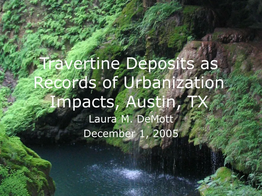
Travertine Deposits as Records of Urbanization Impacts, Austin, TX Laura M. DeMott December 1, 2005
Outline • Background • Objectives • Work Accomplished • Problems Encountered! • Future work
Background What is a Travertine? • Travertines are surface deposits of calcite (CaCO3) • They precipitate directly from supersaturated spring waters via degassing of CO2 • The calcite structure can record the water chemistry at the time of travertine precipitation.
Background • Urbanization causes many changes to water chemistry, amount, etc. • Urbanization in Austin has increased dramatically over the past 40 years with no record of what the water was like beforehand • Can travertine geochemistry show these effects?
Objectives • Create base map showing sample sites and urban land use • Delineate the drainage areas for each site as a proxy for recharge areas • Contour the water table?
Data Sources • Satellite photos, Topo maps, TXDOT • TNRIS (http://www.tnris.state.tx.us/digital.htm) • Aquifers, Well data • TWDB (http://www.twdb.state.tx.us/mapping/gisdata.asp) • Counties • Texas General Land Office (http://www.glo.state.tx.us/gisdata/gisdata.html) • Flowlines • NHD (http://nhd.usgs.gov/data.html)
Drainage Areas • DEM Problems! • Stupid geology computers won’t let me download USGS seamless DEMs • Other DEMs won’t work! • Only working DEM of poor quality
Future Work • Find a DEM that works! • Delineate the watersheds for each of my sites • Figure out how to contour the potentiometric surface based on TWDB well data • Show the areas contributing groundwater to the springs