Download
1 / 16
160 likes | 274 Vues
Christoph Zingerle and Pertti Nurmi. Utilisation of satellite data in the verification of HIRLAM cloud forecasts. Contents. verification, the task the forecasting system HIRLAM observations = satellite data making forecast and observation comparable an example summary future. Task.

E N D
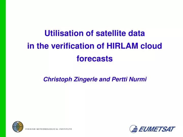
Christoph Zingerle and Pertti Nurmi Utilisation of satellite data in the verification of HIRLAM cloud forecasts
Contents • verification, the task • the forecasting system HIRLAM • observations = satellite data • making forecast and observation comparable • an example • summary • future
Task • Verification of the HIRLAM cloud forecast -detection of deficiencies in the cloud forecast scheme -feasibility of different approaches to verification using satellite data -methodology of verifying cloud forecasts and its operational implementation
HIRLAM at FMI • HIgh Resolution Limited Area Model - FMI is running the reference HIRLAM (RCR) operationally -resolution 0.2 deg horizontal (438x336 grid points, ~ 22 km) 40 levels vertical (up to 10 hPa) - semi-lagrangian advection - 3D–Var analysis (no satellite data) - lateral boundary conditions from ECMWF -Denmark, Finland, Iceland, Ireland, Netherlands, Norway, Spain and Sweden (France)
Satellite Observations • satellite data at FMI from: - METEOSAT 7/8: high resolution (temporal and spatial) coarse resolution at the edges - like Finland - with limb darkening - NOAA polar orbiting satellites high spatial resolution coarse temporal resolution
Observation – Forecast • Model to Satellite: • Satellite to Model: - transferring the observations to parameters forecasted by the model - Cloud classification scheme generally thresholding methods based on typical cloud properties - transferring the parameters forecasted by the model to observations - Radiative Transfer Model uses model data to simulate observed radiances and Tb’s
Model to Satellite • Radiative Transfer Model (RTM) - RTTOV 7 - a fast RTM for the assimilation of satellite data calculates radiances (and Tb's) as seen by a satellite instrument uses profiles of temperature humidity cloud fraction cloud liquid water cloud ice water ozone surface properties
Model to Satellite • 'synthetic' NOAA AVHRR image (10.8µ) - 24 h forecast from HIRLAM - AVHRR because of the high resolution provided even at the poles
Observation Re-sampling • NOAAAVHRR satellite image - re-sampling needed - preprocessed (AAPP) AVHRR image (calibrated and navigated) pixel center in the grid-box corresponding to the HIRLAM grid pixel assigned to this grid-box - Assumptions: HIRLAM grid value represents average over all the values in box neighbouring pixels don't differ much from each other
full resolution, 30.4.2004 (10.8µ) after re-sampling, 30.4.2004 (10.8µ)
simulated, 30.4.2004 (10.8µ) observed, 30.4.2004 (10.8µ)
Difference: observed - simulated Difference > 40 K: Model error?
simulated observed Summary distributions relative frequency of Tb observed / simulated Tb
Summary • RTTOV - a tool to simulate satellite measurements as close as possible - surface parameters and transmission (clouds) dependent • observations - simple re-sampling of NOAA AVHRR data is sufficient - re-sampling will be more sophisticated for other instruments • verification of HIRLAM - cloud forecast scheme not yet verified extensively - approach to verification looks promising
Future • examine approaches to verification - satellite to observation approach (SAFNWC software) - pattern recognition methods • expand to other satellite data (instruments) - Meteosat data over Europe - polar orbiting satellites over Scandinavia and Nordic Countries • operational verification - refine methodology to verify cloud forecasts - improve the operational verification package of FMI