Download
1 / 22
250 likes | 568 Vues
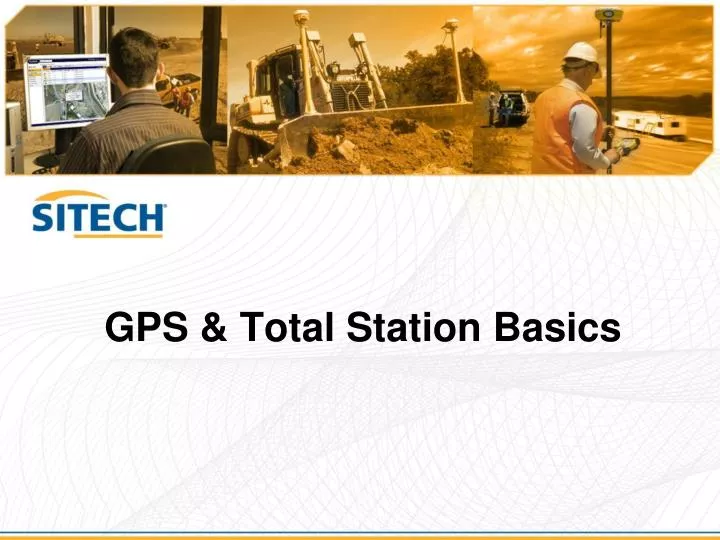
GPS & Total Station Basics. What is GNSS?. G lobal N avigation S atellite S ystem (GNSS) used by receivers to determine their location anywhere on earth Satellite Systems Include US GPS GLONASS Galileo (Currently not Operational). GPS Receivers. Three general types of GPS Receivers

E N D
What is GNSS? • Global Navigation Satellite System (GNSS) • used by receivers to determine their location anywhere on earth • Satellite Systems Include • US GPS • GLONASS • Galileo (Currently not Operational)
GPS Receivers • Three general types of GPS Receivers • Navigation/Recreational (Autonomous) • 10’-50’ (3m-15m)H, V? • Location GPS (Differential GPS - dGPS) • 0.5’-10’ (0.1m-3m) H, 2-3x more in V • Precision GPS (Real-Time Kinematic -RTK) • 0.1’ (30mm) or better, 3D! • We focus on Precise GPS for Heavy & Highway applications
Is it accurate? - YES!! Trimble dGPS: 0.1–3 m RTK:1–2 cm Standalone GPS: 5–10 m
How Does it Work? • Rover (s): • - Machine • Range Pole • Site Vehicle Base Station
How Does it Work (explained) • The Base and Rover (s) receivers track or receive the same satellite signals AT THE SAME TIME. • The Base Station sends it’s position & observations via radio to the Rover. • Base station data and rover data are processed together in rover receiver to produce 3D vector • Base station position + vector = rover position • Result: ALL POSITIONS @ THE ROVER (S) ARE RELATIVE TO BASE POSITION
What do we Need? • Precision GPS uses 2 receivers • Base Receiver • Rover Receiver • In addition you need • GPS Antennas • Radios • Radio Antennas
What is a Modular GPS Receiver? • Separation of components • Allows mix and match of GPS & Radio antennas • Optimized use • Permanent, semi permanent, • vehicle or marine vessel setups • Security • Accessible, secure, and environmentally protected
What is a Smart GPS Antenna? • Fully integrated GPS receiver unit • Optimized for pole mounted rover solution • A rapid setup, high mobility base station • Receiver incorporates: • GPS receiver • GPS antenna • Radio and radio antenna • Removable battery • Bluetooth for cable free operation • Quick, easy setup and tear down for small sites and rapid mobilization
GPS Coordinates NEE Tying it all together… • GPS Site Calibration • What is a site calibration? • Defines the relationship between GPS Coordinates and local northing, easting, and elevation • Why is a site calibration required? • Allows multiple GPS-based rover systems to work in your local site coordinate system • What is needed for site calibration • Onsite control based on local coordinates
What can go wrong? • Bad Base Location - • Bad base observations, bad rover corrections • Setup GPS base station antenna with 360° view of the sky. If limited try to set up with clear visibility to the equator. • Multipath • Avoid sources of multipath (deflection of the GPS signal) • Base-Rover Radio Link • Radio “Line-of-sight” • Other Radio Interference • PDOP • Position Dilution Of Precision (SV Geometry) • Human Error • Bad base position or calibration
SPS Total Stations • Total Stations are used for the highest accuracy work • Heavily used on highways, railways, bridge, and tunnel projects • Many contractors need both total stations and GPS • When a contractor buys a total station they should strongly consider Trimble SPS universal instruments • SPSx20 • SPSx30
How does a TS work? • A total station measures angles and distances relative to its position • By measuring known control points, a TS can calculate its position relative to the known points and coordinate system. • Known points should be high order control • In robotic mode, the TS measures the position of the rover target and reports the position information via radio link to the rover • SCS900/GCS900 compares the position to design information calculating Cut/Fill
Total Station Setup • Minimum of 2 control points • Should be very accurate control • Optimally you want adequate number of control points for multiple TS Setups • Avoid setting additional control if possible • Remember TS get less accurate over distance • Optical limitations • Earth curvature • TS Setup errors compounded
Total Station Setup • 2 primary setup types • Known Control Point – TS on one known point and backsight to other • Arbitrary Location – TS setup up unknown and backsight to two know control points
TS Setup – Known Control Point • Pros • Only need a backsight to one known point to establish the position • Quicker setup as you only have to visit one other point • Cons • Restricted as to where to place the instrument • Location may be harder to set up the legs • Must measure instrument height • Should always have another point not used in the setup for checking the setup.
TS Setup – Arbitrary Location • Pros • Freedom of where to place the instrument • Easy to set up the legs • No instrument height measurement • Cons • Must visit two known points to establish the position – Takes extra time • Should always have another point not used in the setup for checking the setup. • This method is used most often in construction
CP2 CP1 TS Arbitrary Setup BAD SETUP! Resection angle <30 degrees
CP2 CP1 TS Arbitrary Setup GOOD SETUP! Resection angle 30 – 150 degrees
What can go wrong? • TS out of calibration • Perform all user capable calibrations on regular basis • Bad setup • HA out of tolerance • We are chasing high accuracy. Do not accept a setup if out of tolerance, even if the point deviations are acceptable • Bad TS Location • Setup TS with clear visibility to the rover and limited potential obstructions • Do not place TS close to vibratory compacter operation • Weak tripod • You need a heavy duty tripod with sturdy top plate • Do not use aluminum