Download
1 / 57
570 likes | 719 Vues
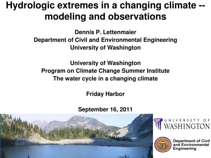
Hydrologic extremes in a changing climate -- modeling and observations. Dennis P. Lettenmaier Department of Civil and Environmental Engineering University of Washington University of Washington Program on Climate Change Summer Institute The water cycle in a changing climate Friday Harbor

E N D
Hydrologic extremes in a changing climate -- modeling and observations Dennis P. Lettenmaier Department of Civil and Environmental Engineering University of Washington University of Washington Program on Climate Change Summer Institute The water cycle in a changing climate Friday Harbor September 16, 2011
A warmer climate, with its increased climate variability, will increase the risk of both floods and droughts IPCC WG2, 2007
Most climate scientists agree that global warming will result inan intensification, acceleration or enhancement of the globalhydrologic cycle, and there is some observational evidence thatthis is already happening. UNESCO World Water Development Report Water in a Changing Climate, 2009
Total U.S. flood damages, 1934-2000 from Pielke et al., 2000
Extreme precipitation should be increasing as the climate warms
Trends in annual maximum daily (left column) and 5-day (right column) precipitation, 1951-99. Upper row from observations. from Min et al., Nature 2011
Trends in U.S. daily precipitation by frequency interval, 1910-1996 From Karl and Knight, BAMS 1998
Continental U.S. weighted contribution of upper 10th percentile to annual precipitation, 1910-96 From Karl and Knight, 1998
Trends in annual precipitation maxima in 100 largest U.S. urban areas, 1950-2009 from Mishra and Lettenmaier, GRL 2011
7. Changes in design storms calculated for various return periods. +37% +30%
Can RCMs reproduce the timing of precipitation maxima ? Summer Winter
Can RCMs reproduce the timing of precipitation maxima ? Summer Winter
JANUARY 12, 2009 JANUARY FLOODS Disaster Declarations Federal Emergency Management Agency disaster declarations in King County in connection with flooding: January 1990 November 1990 December 1990 November 1995 February 1996 December 1996 March 1997 November 2003 December 2006 December 2007 When disaster becomes routine Crisis repeats as nature’s buffers disappear Mapes 2009
Issues in the historical record Pecos River flood frequency distribution (from Kochel et al, 1988)
What causes a flood? • Heavy precipitation • Antecedent soil moisture and/or snow • Interaction of storm characteristics (geometry, duration, intensity) with catchment geometry and characteristics (topography, channel network density, geology/soils) • Storm orientation and movement relative to catchment/channel orientation
Other important flood characteristics • Hydrologists usually think in terms of the annual maximum flood, which is the series of the largest floods each year (usually their peak discharge) • Bankfull capacity corresponds roughly to 2-year return period (median annual maximum flood), which also is very roughly the mean annual flood • Damages due to “floods” below bankfull capacity usually are minimal; damages increase rapidly (sometimes characterized as a power law) above bankfull discharge • Flood risk is usually estimated by fitting a probability distribution to the annual maximum series, this distribution may be extrapolated to the T-year (e.g., 100-year, often used for flood plain planning) flood • The T-year return period precipitation event (of specified duration) generally doesn’t cause the T-year flood (due to factors indicated above)
Number of statistically significant increasing and decreasing trends in U.S. streamflow (of 395 stations) by quantile (from Lins and Slack, 1999)
Maximum flow Increase No change Decrease About 10% of the 400 sites show an increase in annual maximum flow from 1941-71 to 1971-99 Visual courtesy Bob Hirsch, figure from McCabe & Wolock, GRL, 2002
From Yaindl and Vogel, 2009 Decadal Magnification Factors of Floods – Sites w/ no regulation 1,642 of 14,893 USGS Gage Sites with M>1 and p>0.9 visual courtesy Rich Vogel
From Yaindl and Vogel, 2011 Decadal Flood Magnification Factors - HCDN Sites 208 of 1,588 HCDN Gage Sites with M>1 and p>0.9 visual courtesy Rich Vogel
Decadal Flood Magnification Factors Sites With No Regulation From Yaindl and Vogel, 2011 visual courtesy Rich Vogel
Results Decadal Flood Magnification Factors 3 Groups of USGS Gages From Yaindl and Vogel, 2011 visual courtesy Rich Vogel
Paradox: Given increases in precipitation and runoff, why are there so few significant trends in floods? Visual courtesy Tim Cohn, USGS
Possible explanation [Lins and Cohn, 2002] Visual courtesy Tim Cohn, USGS
Predicting urban flooding in a future climate – Thornton Creek example
Global Climate Models ECHAM5 • Developed at Max Planck Institute for Meteorology (Hamburg, Germany) • Used to simulate the A1B scenario in our studyCCSM3 • Developed at National Center for Atmospheric Research (NCAR; Boulder, Colorado) • Used to simulate the A2 scenario in our study
Global Climate Models ECHAM5 CCSM3 Mote et al 2005
Dynamical Downscaling Global Model Regional Model Courtesy Eric Salathé
Results of Future Analysis Changes in average annual maximum precipitation between 1970–2000 and 2020–2050: * * CCSM3/WRF ECHAM5/WRF * * * Statistically significant for difference in means and distributions, and non-zero temporal trends
Results of Bias Correction -- SeaTac Comparison of changes in average annual maximum between 1970–2000 and 2020–2050: * * CCSM3 ECHAM5 * * * Statistically significant for difference in means and distributions, and non-zero temporal trends
Thornton Creek Changes in Average Streamflow Annual Maxima (1970-2000 to 2020-2050)
Results of Hydrologic Modeling Changes in average annual maxima streamflow at outlet of watershed between 1970-2000 and 2020-2050: * * * Statistically significant for difference in means
The November Surprise JAN FEB MAR APR MAY JUN JUL AUG NOV SEP OCT NOV DEC Courtesy Eric Salathé
Reconstructed U.S. soil moisture trends, 1915-2003 from Andreadis and Lettenmaier, GRL 2006
Trends in U.S. drought duration, 2915-2003 from Andreadis and Lettenmaier, GRL 2006