Download
1 / 16
160 likes | 350 Vues
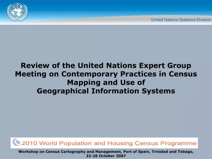
Review of the United Nations Expert Group Meeting on Contemporary Practices in Census Mapping and Use of Geographical Information Systems. Workshop on Census Cartography and Management, Port of Spain, Trinidad and Tobago, 22-26 October 2007. Overview of the EGM. 29 May-1 June 2007

E N D
Review of the United Nations Expert Group Meeting on Contemporary Practices in Census Mapping andUse of Geographical Information Systems Workshop on Census Cartography and Management, Port of Spain, Trinidad and Tobago, 22-26 October 2007
Overview of the EGM • 29 May-1 June 2007 • United Nations, New York • Organized by the Demographic Statistics Section of the United Nations Statistics Division (UNSD), Department of Economic and Social Affairs (DESA) • Participants from 22 Member Countries • Final Report issued mid-June 2007
Attendees of the EGM • Representatives of: • national statistical offices • national mapping offices • academic/research institutions • private sector companies, and • international and regional organizations • Member Countries: • Australia , Brazil, Canada, China, India, Indonesia, Jordan, Kenya, Latvia, Mexico, Morocco, Namibia, Oman, the Philippines, Portugal, Russian Federation, Sierra Leone, South Africa, Trinidad and Tobago, Turkey, Ukraine, and the United States of America
Other Participants • Academic/research institutions: • Florida State University • George Washington University • Private Sector companies: • GeoSpace International • ESRI • International and regional organizations: • United Nations Population Fund (UNFPA) • CPS - Secretariat Général de la Communanté du Pacifique • See Annex 2 of the Final Report for List of Participants
Objectives of the EGM • Review the conceptual framework and different approaches to census mapping and the capabilities offered by advanced geospatial technologies (GIS, GPS, Remote Sensing, Internet Mapping, etc.) to support census mapping operations • Review of geo-coding concepts and approaches with respect to data collection • Assess the use of GPS and other geospatial technologies for digital delineation of enumeration areas and data collection • Review the development of geographic databases, spatial analysis and data dissemination • Identify organizational and institutional issues associated with census cartography.
Main Topics Presented • GIS-based census mapping approaches: some country experiences • Geo-coding concepts and definitions, and approaches to data collection • Use of GPS and geospatial technologies for data collection, and digital delineation of enumeration areas • Geographic databases, spatial analysis and data dissemination • Organizational and institutional issues • GIS-based census mapping applications by GIS services providers.
Presentations • All papers and presentations are available at: http://unstats.un.org/unsd/demographic/meetings/egm/CensusMappingEGM07/default.htm • See Annex 3 of the Final Report for Organization of Work, including the list of presentations
Recommendations - General • The meeting recommended and strongly supported the use of geo-spatial and Geographical Information Systems technologies for the 2010 round of population and housing censuses, taking into consideration national and local circumstances.
Recommendations - General • National Statistical Organizations should: • Develop and set-up institutional and organizational structures to implement a census geography programme; • Ensure the availability of adequate resources to that end; • Institute and maintain training programmes for national staff; • Develop mechanisms for retaining GIS trained staff; and • Actively participate, in partnership with other national authorities, in the development of a national geographical information capacity, including the National Spatial Data Infrastructure (SDI).
Recommendations - General • United Nations Statistics Division should: • Continue to facilitate exchange of national experiences • Introduce on-line facility including e-learning material for exchange and sharing of knowledge • Compile lessons learned emphasizing advnatges and limitations • Develop guidelines for census geography
Recommendations - Use of contemporary technologies for census geography • Applying these technologies (satellite imagery, aerial photography, GPS, GIS) is beneficial to the efficiency and quality of the population and housing census, specifically for • Delineation of enumeration areas • Supervision of data collection • Dissemination at small area level • Single solution does not fit all • Significant investment in hardware, software and human capital
Recommendations - Geo-coding for statistical purposes • Geo-coding: Associating geographical to features such as structures, buildings, dwellings, streets, addresses, enumeration areas • Different methods – GPS, PDA, satellite imagery • National statistical agencies need to consider geo-coding approach for 2010 round of censuses • Geographical coding schemes – harmonization and uniformity • Dwelling Frame/Address Registry
Recommendations - Geographical databases and data dissemination • Significant value of geographical database for census data collection, processing and dissemination for small areas • Inclusion on non-census items such as schools, roads, rivers, settlements … • Long-term and significant commitment is crucial • National statistical agencies should develop web-based mapping tools
Recommendations - Handbook on geographic information systems and digital mapping
Recommendations - Handbook on geographic information systems and digital mapping • Current issue – still valuable • Requires updates and review • Putting a focus on censuses • Emphasizing continuous character of census geography programmes • Underway • Expected by mid-2008
Recommendations - Spatial Data Infrastructure (SDI) • Definition - the technology, policies, standards, human resources, and related activities necessary to acquire, process, distribute, use, maintain, and preserve spatial data • Part of a nation’s e-Gov strategy • www.GSDI.org