Download
1 / 12
130 likes | 292 Vues
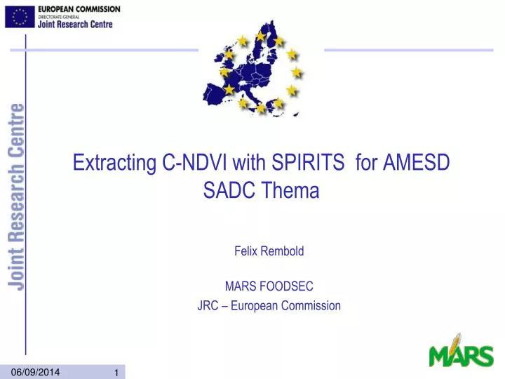
Extracting C-NDVI with SPIRITS for AMESD SADC Thema. Felix Rembold MARS FOODSEC JRC – European Commission. Mixed pixels, the CNDVI. The CNDVI technique

E N D
Extracting C-NDVI with SPIRITS for AMESD SADC Thema Felix Rembold MARS FOODSEC JRC – European Commission
Mixed pixels, the CNDVI • The CNDVI technique • CNDVI is a method to extract crop specific NDVI profiles aggregated for admin. areas and land uses classes by weighting each low resolution pixel according to the area fractions of higher resolution land use information. • Developed by JRC MARS for the use of NOAA AVHRR images with CORINE land cover • Advantages • More information than average NDVI profiles for physical units • Reliable NDVI profiles for fragmented land cover classes • Easy to use with different images and land cover maps • Disadvantages • Depends on the accuracy of the Land Cover data • Does not take into account the spectral signature of the land use classes but only their area
Crop specific or C-Indicators (eg. CNDVI) VEGETATION PIXEL AFRICOVER pixel of 100 x 100 m 1 km Land cover class a 1 km Land cover class b r P = r w j å n j r P j Land cover class c = j 1 å n m ˆ r = = r r CNDVI mvcNDVI w j j = j 1 CNDVI for Europe with CORINE Land cover + NOAA/AVHRRCNDVI for Africa with AFRICOVER + VEGETATION
Crop monitoring with C-Indicators (eg. CNDVI) • More sensitive to crop anomalies than average NDVI of admin. Area • Well correlated with final yield (regression estimates) • Needs high quality land cover information or crop mask
Qualitative crop monitoring • CNDVI is extremely useful as crop status and yield indicator if: • additional information on crop areas is available • additional information on yield limiting factors is known • the agricultural land cover classes are well defined • ...
Quantitative yield forecast • Similarity analysis • Regression analysis • simple CNDVI yield regression • multiple regression with bio-climatic indicators
CNDVI for SADC Thema • Regional window: • Southern Africa, long. from 11 to 41 and lat. from -35 to 6 • Gaul 1 used as default admin. layer
Land cover from Globcover AFcrop = 1.00 x AF14 + 0.60 x AF20 + 0.35 x AF30 AFgrass = 0.35 x AF110 + 0.60 x AF120 + 1.00 x AF140
JRC improved agriculture mask The land cover/land use data that have been used to create the mask are the following: • The Globcover map (2005-2006), • The SADC land cover database (CSIR, South-Africa) covering 8 countries: Tanzania, Zambia, Mozambique, Malawi, South-Africa, Lesotho, Zimbabwe and Swaziland. • The Cropland Use Intensity datasets (USGS, 1988) covering 11 countries: Mauritania, Mali, Burkina-Faso, Niger, Sudan, Somalia, Malawi, Zimbabwe, Mozambique, and Zambia. • The Woody Biomass map of Ethiopia (World Bank project, 2002) • The Africover maps (FAO) covering 10 countries: RDC, Kenya, Burundi, Tanzania, Somalia, Rwanda, Sudan, Uganda, Egypt, and Eritrea, • The Democratic Republic of Congo map (UCL-Geomatics, 2006), • The land cover of Mozambique (the National Directorate of Land and Forests (DNTF) - Ministry of Agriculture, AvaliaçãoIntegrada das FlorestasemMoçambique, 2007)
Image enhancement • Before CNDVI extraction, 2 important imange enhancements are applied: • flagging • smoothing
Somalia: Exceptional rainfall was recorded in South Somalia in October and November 2006 But the effects on agriculture vary from area to area: CNDVI profiles for agricultural areas Sorghum areas (not flooded), bumper harvest (250% of average production) Maize areas flooded in November 2006 50% of average production