Download
1 / 27
270 likes | 575 Vues
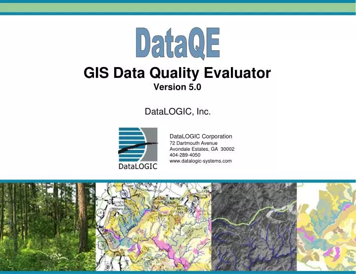
DataQE. GIS Data Quality Evaluator Version 5.0. DataLOGIC Corporation 72 Dartmouth Avenue Avondale Estates, GA 30002 404-289-4050 www.datalogic-systems.com. DataLOGIC, Inc. Overview. Concepts Types of QA Checks Performed Evaluation Process Future Development. What is DataQE?.

E N D
DataQE GIS Data Quality EvaluatorVersion 5.0 DataLOGIC Corporation 72 Dartmouth Avenue Avondale Estates, GA 30002 404-289-4050 www.datalogic-systems.com DataLOGIC, Inc.
Overview • Concepts • Types of QA Checks Performed • Evaluation Process • Future Development DataQE – Data Quality Evaluator • 1
What is DataQE? • GIS Data Quality Evaluation Tool • Evaluations based on user-specified rules • Focuses on evaluations of attribute fields and values • Includes: • Layer Checks • Data Structure Checks • Field Checks • Query Checks DataQE – Data Quality Evaluator • 2
What Can You Evaluate with DataQE? Compliance • Is data compliant with established standards, such as a Data Dictionary? Completeness • Has required data been appropriately populated? Suitability • Is a data source appropriate for a given purpose? • Does data make sense from a real-world perspective? DataQE – Data Quality Evaluator • 3
Who Can Use DataQE? • Anyone who needs to evaluate the quality or suitability of a GIS data layer or tabular data • Data Entry Staff • Data Migration Specialists • GIS Managers • Quality Assurance Staff • Analysts DataQE – Data Quality Evaluator • 4
Requirements • ESRI ArcMap 9.3 or higher • Windows 7, Vista or XP • Operates in Desktop (Single User) or Enterprise (Multi-User) environments, including Citrix • Supports the following Data Formats: • Geodatabases (SDE, File, Personal) • Shapefiles/Coverages/CAD Files • Tables (SQL, Oracle, Access, Excel, DBF, CSV) DataQE – Data Quality Evaluator • 5
The Data Evaluation Process • Create Rule Sets containing the rules your data should follow • Assign a Rule Set to the data source being evaluated • Launch an Evaluation of the data source using the selected Rule Set • View Evaluation Results and identify data errors • Correct any errors as necessary using ArcMap or other editing tools • Re-evaluate as necessary DataQE – Data Quality Evaluator • 6
Layer Checks Verify commonly used properties within a spatial data source. • Data Source/File Name Check • Verifies that the name of the evaluated data source name matches a list of valid names • Layer Type Check • Verifies that the layer type of the evaluated data source matches specified requirements (GDB vs. Shapefile vs. Coverage, etc.) • Projection Check • Verifies that a layer’s current projection matches established projection requirements DataQE – Data Quality Evaluator • 7
Data Structure Checks Verify that a data source’s field structure matches appropriate requirements. • Field Exists Check • Verifies that required fields exist in the data source being evaluated • Field Type Check • Verifies that each field is the correct type (Text, Date, etc.) • Field Width Check • Verifies that each field is the correct width DataQE – Data Quality Evaluator • 8
Field Checks Verify that attribute values within a field match established standards. • Required Value Check • Verifies that each record in a field contains a value • Unique Value Check • Verifies that each record in a field contains a unique value • List of Values (LOV) Check • Verifies that each record in a field contains a value that matches a specified list of values (domain) • Valid Range Check • Verifies that each record in a numeric field contains a value that falls within a specified range DataQE – Data Quality Evaluator • 9
Query Checks User-defined rules based on customizable queries. • Used to perform in-depth evaluations of a data source • Query Rules can be created using the DataQE Query Builder, or copied from existing ArcMap or database queries • Allows queries to be stored permanently in Rule Sets • Can be used to expand basic compliance evaluations to determine whether data meets established Business Rules • Can be used by analysts to evaluate whether data is appropriate for a particular purpose • Can be used to validate whether data “makes sense”, as opposed to simply meeting data dictionary standards DataQE – Data Quality Evaluator • 10
Data Quality Evaluator Window • View Rule Set Assignments and properties • Review Evaluation Results • Used to perform evaluations of selected data sources DataQE – Data Quality Evaluator • 11
Data Sources Window Rule Set Explorer Results Window Data Quality Evaluator
Rule Set Editor • Create Rule Sets • Add/Edit rules within a Rule Set • Rule Sets can be published and shared between multiple users Used for managing and editing Rule Sets DataQE – Data Quality Evaluator • 13
Rule Set Explorer Properties Window Rule Set Editor – Properties Window
Rule Set Explorer Layer Rules Rule Set Editor – Layer Rule Properties
Rule Set Explorer Field Rule Properties Rule Set Editor – Field Rule Properties
Rule Set Explorer Field Rules Grid Rule Set Editor – Field Rules Grid
Query Rule Properties • Allow users to build custom Query Rules. • Query Rule Properties tab helps users build a query statement that can be used to evaluate a field or combination of fields. DataQE – Data Quality Evaluator • 18
Rule Set Explorer Query Rule Properties Rule Set Editor – Query Rule Properties
List of Values • Create new LOV’s • Add/Edit Values within an LOV • Assign LOV’s to Rule Sets on the Field Rule Properties and the Field Rules Grid tabs. Used for managing and editing Lists of Values (LOV’s) for Domain Checks DataQE – Data Quality Evaluator • 20
Valid Values Rule Set Editor – List of Values Rule Set Explorer
Create LOV’s from Existing Data • Create new LOV’s based on unique field values. • Specify a field for the LOV value and another field for the LOV description. Use data from the current ArcMap session or browse for spatial or tabular data. DataQE – Data Quality Evaluator • 22
Evaluation Manager • Allows creation of Evaluations with pre-assigned properties • Easy selection of Data Sources and Rule Sets • Evaluation Definitions can be stored & shared • Allows definitions to be saved and performed at any time, individually or in batches Used to manage and edit predefined Evaluation Definitions to support batch processing DataQE – Data Quality Evaluator • 24
Properties Window Evaluation Definitions Window Evaluation Manager
Future Development Coming in future versions of DataQE: • Associated Tables/Orphan Records Check • Metadata Check • User Definable Field Rules • Business Logic Check • Spatial Overlay Check DataQE – Data Quality Evaluator • 26