Download
1 / 18
220 likes | 450 Vues
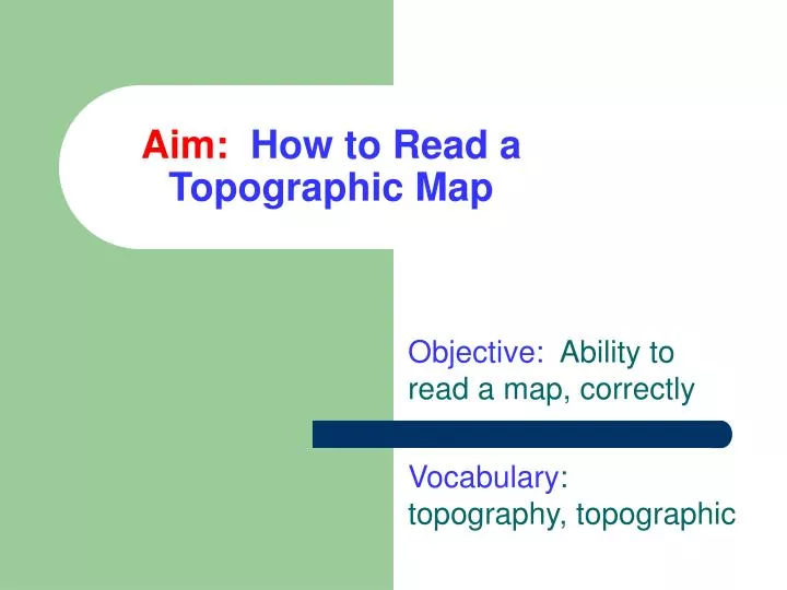
Aim: How to Read a Topographic Map. Objective: Ability to read a map, correctly Vocabulary : topography, topographic. Most maps show distances Where things are located What is produced in an area. Topographic maps show the topography Show the contours of the land Show “height and depth”.

E N D
Aim:How to Read a Topographic Map Objective: Ability to read a map, correctly Vocabulary: topography, topographic
Most maps show distances Where things are located What is produced in an area Topographic maps show the topography Show the contours of the land Show “height and depth” Different Kind of Maps
Topographic Maps Contour Interval Simple Topographic Map Contour Lines
Topographic Maps More Complex Topographic Map
Topographic Maps Topographic Map Shows heights What is the highest elevation of this map? The lowest?
To read a topographic map • First determine the contour lines • Then determine the contour intervals
Contour Lines • Topographic maps use contour lines. • A contour line on a map connects points that are at the same distance above, or below, sea level • For example, the 20' contour line connects all points on the map that are exactly 20' above sea level.
Contour Intervals • The contour interval is the vertical distance represented between adjacent contour lines. • If the contour interval is 10', then after the 20’ contour line would be the 30’ contour line. • If a point on a map is between the 20' and the 30' contour lines, then you know its greater than 20' above sea level and less than 30' above sea level
Contour Intervals • The spacing of contour lines on a map tells you how "steep" the slope is. • If you turned a soup bowl upside down it would look like this
Examine this topographic map Copy it !
Examine this topographic map What is the lowest elevation? What is the next highest elevation? Now you can determine the interval
Examine this topographic map Which side would you want to climb, N or S. Why?
You make a topographic map by connecting various elevations with a contour line?