Download
1 / 8
80 likes | 190 Vues
NIWA Water Resources Archive and Climate Database - An Overview. David Wratt & Charles Pearson. What are they?. Climate network & database Hydrometric network & database River water quality network and database National coverage, coordinated operations, communications

E N D
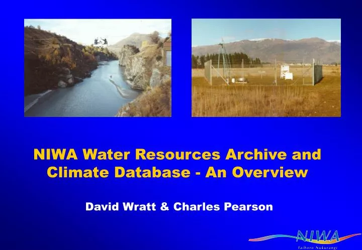
NIWA Water Resources Archive and Climate Database - An Overview David Wratt & Charles Pearson
What are they? • Climate network & database • Hydrometric network & database • River water quality network and database • National coverage, coordinated operations, communications • NIWA backbone + contributions by many others • Discrete databases (Oracle, Tideda, Excel / Access) • Developing common web front end • FRST $3.5M (Global processes, sustainability)
Climate Network & Database • 208 open climate stations (118 automatic). Includes soil moisture network, 45 reference climate stations • 654 open rainfall stations • 5 open upper air stations • Many closed climate & rain stations • Climate observations from various Pacific islands • Oldest records back to 1870s • Many stations voluntary or collaborative, + MetS archive
Hydrometric network & database • River and lake water levels (15 mins); River flows (~monthly); Sediment concentrations; Rainfall (6 mins); Soil moisture levels • 14 NIWA field offices • NIWA: 230 open water level stations • Partnership funding of $1.5m pa from hydropower companies • Regional and district council data • ~250 open water level stations • Overall, >1200 NZ water level records (open and closed stations)
Water Quality Network & Database • Initiated 1989: 77 river sites • Monthly sampling • >14 water quality variables plus flow • Also macrophyte-periphyton-macroinvertebrate measurements at 66 sites in summer • Baseline (32) and impact (45) sites
What is it used for (Climate examples) ? • Climate monitoring*, research • Other research (agriculture, ecosystems, ...) • NIWA updates and outlooks • Resource assessments • Engineering (wind energy, air quality, building design, air conditioning, drainage design, ...) • Hazard assessment • Legal • School projects * Some required by international agreement, e.g. WMO, UNFCCC
Who uses it (climate examples) ? • National Climate Centre Staff • Researchers (outside + NIWA) • Engineers, agricultural sector, local government, police, lawyers, ... • sql: 50 NIWA users, 50 outside • 1290 non-internet requests 01/02 • 700 educational queries 01/02 (<00/01 because of web educational data tables)
Challenges & Developments • FUNDING: Static since 1994 (ie decreasing real$ support from FRST), NIWA subsidy • Demand for more detail (space, time) • Increasing near real-time 24/7 demand • Paper archives of old non-electronic data • Requests from schools etc (unfunded) • Move to user-friendly web access • Value added services (ClimateNow, gridded data sets, climate surfaces, collaborative land-use studies, …)