Download
1 / 37
370 likes | 377 Vues
Burlington Beach Waterfront Park Master Plan Review Public Meeting Waterfront Hotel Lakeshore Road, Burlington November 29, 2011. Agenda. Welcome and introductions Session overview Presentation Public comments Informal discussions and walk around. Discussion Questions.

E N D
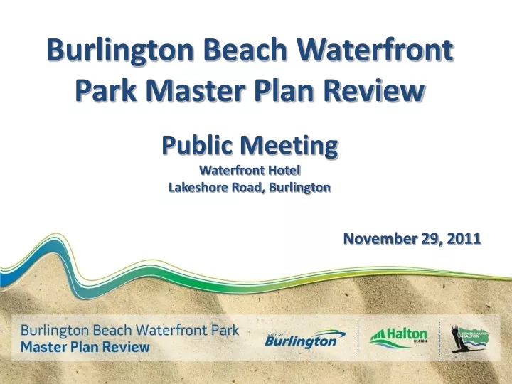
Burlington Beach Waterfront Park Master Plan Review Public Meeting Waterfront Hotel Lakeshore Road, Burlington November 29, 2011
Agenda • Welcome and introductions • Session overview • Presentation • Public comments • Informal discussions and walk around
Discussion Questions • What key questions or issues would you like the Master Plan update to answer or address? • What do you see as the key Burlington Beach related challenges and/or opportunities? • What are your aspirations for Burlington Beach Waterfront Park? What do you want it to look like in 10-20 years? • If the updated Master Plan did only a few things to enhance and secure the future of the Park, what would you like them to be?
Burlington Beach Waterfront Park Master Plan Review Ingrid Vanderbrug, City of Burlington Stirling Todd, Region of Halton Charles Mulay, City of Burlington Bob Edmondson, Conservation Halton
Burlington Beach Regional Waterfront Park Spencer Smith Park Burlington • One of three Regional Waterfront Parks in Halton • Includes both Beachway Park and Spencer Smith Park City Parks Beachway Park Lake Ontario Burlington Canal N Hamilton
Burlington Beach • Significant natural pure sand baymouth bar feature • Spans Hamilton and Burlington • Uniquely situated in the City Burlington Bay Burlington Lake Ontario Burlington Canal N Hamilton
Burlington Beach Development • Canal & bridge, 1823 • Railway line, 1876 • Beach resort area, late 1800’s • Hydro towers, 1908 • Conversion of cottages to permanent residences, 1920’s • Transportation, utility & institutional uses, 1960-70’s
Burlington Beach Flooding Events • Flooding events in the area trigger initiation of the Halton Wentworth Waterfront Plan (mid 1970’s) • Recommends long-term acquisition of all privately held Beach properties to remove flood risk and create public open space • Provides basis for Waterfront Parks Program in the Halton Region Official Plan (1980’s)
Burlington Beach Planning • Hamilton/Halton Conservation Authorities undertake Beach Property Acquisition Program with Provincial support (1976) • Properties are purchased as they become available on the market • Conservation Halton takes ownership of the CN right-of-way and assumes cottage leases
Burlington Beach Ownership Today • 129 properties purchased including leased and freehold • 31 remaining in private ownership • Today, less than 3.5% of the Regional Park area is in private ownership Lake Ontario
Burlington Beach Ownership Today • Public landowners within the Regional Park include: • Provincial and Federal Agencies • Region of Halton • Conservation Halton • City of Burlington CCIW
Prior Master Plans • Completed in 1987 by Halton Waterfront Working Group • Long-term vision for the Beach area as public open space • Updated in 1994 by Halton Region, in partnership with the City of Burlington and Conservation Halton • Maintained long-term vision for the Beach area as public open space
Burlington Beach Waterfront Park Today Spencer Smith Park • Promenade, Discovery Landing, Waterjet Plaza and Playground, Open Space for Festivals/ Events Beachway Park • Trail, Dune Crossing, Pavilion, Dunes, Playground, Beach • Activities: walking, biking, boating, swimming, special events
Burlington Beach Master Plan Review • Background • Technical Information • Master Plan • short and long term recommendations • Implementation and Phasing Plan • budget and timing
Regional Perspective on Waterfront Parks • How it all started • Why was the program initiated? • Number of Waterfront Parks
Regional Waterfront Parks • Where are the three Regional • Waterfront Parks? • Burlington Beach • Burloak • Bronte Harbour
Region of Halton Official Plan [2006] • Official Plan Direction • Regional Objectives/ Priorities • Permitted Uses • Coordinating Park Planning and Implementation • Environmental Considerations
Official Plan (2008) West of Lakeshore Road Business Corridor: • Recognizes sewage treatment facility • Provides for prestige office, industrial and employment uses Low Density Residential: • Recognizes existing residential neighbourhood west of Lakeshore Road Major Parks and Open Space: • Recognizes existing open space south of residential neighbourhood
Official Plan– West and East of Lakeshore Road (Schedule E) Waterfront West/Public Lands Precinct: • Identifies waterfront and open space system within Downtown Objectives: • Public access, recreation and waterfront linkages Permitted Uses: • Existing uses, government, institutional, parkland, recreation, hotel/conference centre (MTO lands only)
Zoning By-Law PC – Community Park • Permitted uses: parks, recreation facilities, cultural uses • Does not permit residential uses – existing deemed legal non-conforming and can only be maintained within existing footprint, not expanded • R3.4 – Low Density Residential • Recognizes existing lots and buildings, any changes must comply with zoning • Challenging due to small lot sizes and limited and substandard septic systems • Other Zoning • Downtown Institutional (DI) Utility Services (S)
Importance of the Dune Environment • Beach and primary dune are the most sensitive areas to development • Special precautions must be taken to protect dunes • Rehabilitation opportunities
Flora and Fauna • Small remnant areas which support native dune and shoreline plant species • Total of 236 plants (44% native) • 11 regionally rare, 13 regionally uncommon plant species, and 3 species provincially imperiled or vulnerable • Sand Dropseed • Smooth Scouring-Rush • Cyperus (Cyperus schweinitzii) • Rush (Juncus balticus) • Seaside Spurge • Important for migratory birds
Regulatory Conditions Ont. Reg. 162/06 • Conservation Halton regulates shoreline hazardous lands and dynamic beaches • Objectives - minimize risk to life, property damage, social disruption and adverse environmental impacts
Regulatory Conditions Ont. Reg. 162/06 • Regulated Shoreline Area for Burlington Beach consists of flooding hazard and dynamic beach allowance
Flooding • Flooding events in April 1993 caused significant damage to the dune and beach area properties
2011 Regulatory Conditions Update • Conservation Halton has led a study to assess the flooding hazard and to confirm the limits of the dynamic beach. This study will determine and map: • Estimated level of erosion/ accretion on the beach • Extent of flooding zone in accordance with o. Reg. 162/06 (100 year flood limit, wave up-rush limit; and other water related hazards) • Limits of the dynamic beach • This is based on: • Airphoto analysis • Digital orthophotography • Topographic survey of the study area at 1:500 scale with 0.25 meter contours • Computer modeling of flooding hazard • Bathymetric survey
Implementation of Regulatory Conditions • East of Lakeshore Road: • Lands are susceptible to flooding hazard as well as dynamic beach • No development on dynamic beach is permitted • West of Lakeshore Road: • Lands subject to the flooding hazard only • Potential for ponding • Development can only be considered and evaluated subject to mitigation of the flooding hazard
Master Plan Timeline • November 29, 2011 South Halton Public Meeting • January 2012 North Halton Public Meeting • Design Charrette, February 2012 • Continued consultation with stakeholders • Report to Council for direction to proceed • Draft Master Plan • Additional Public Meetings to present Draft Master Plan • Final Master Plan approval