Download
1 / 14

E N D
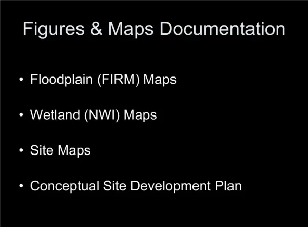
1: Figures & Maps Documentation
Floodplain (FIRM) Maps
Wetland (NWI) Maps
Site Maps
Conceptual Site Development Plan
7: NWI (National Wetland Inventory) Maps
Common Errors:
Site boundaries not marked
Maps not copied or downloaded from USFWS NWI
10:
Maps generated by research services (EDR) are not sufficient
11: Site Maps Requirements:
An area large enough to display the relative location of the site in its orientation to adjacent properties and facilities, with existing streets and drives within fifty (50) feet of the site.
Delineation of the perimeter of any major existing structures on the site.
Any visible or reasonably ascertainable easements on the site.
Environmental concerns where applicable.
Direction (established or presumed) of groundwater flow.
The boundaries of any floodplains, wetlands, or potential State Waters on or adjacent to the site.
13: Conceptual Site Development Plan Requirements:
Easements
Wetlands, floodplains, and possible state waters are to be located in relation to all site improvements, including buildings, paving, and site amenities, including the delineation of all buffers required by state and local jurisdictions with areas of disturbance indicated and calculated.
Use of all adjacent properties indicated both graphically and in written form.
Zoning setbacks and any other zoning restrictions for the subject property.
An indication of all structures, slabs, tanks and any other improvements existing on the property.
An indication of any other features physical or otherwise that would affect the development of the subject property.
The location of the proposed entrance access to the property and a layout of all buildings, roads, parking areas, etc.
All amenities indicated on the Application Form must be located on the site plan;
An indication of all areas of tree and vegetation preservation.
14: Conceptual Site Development Plans & Noise Assessments