Download
1 / 14
140 likes | 237 Vues
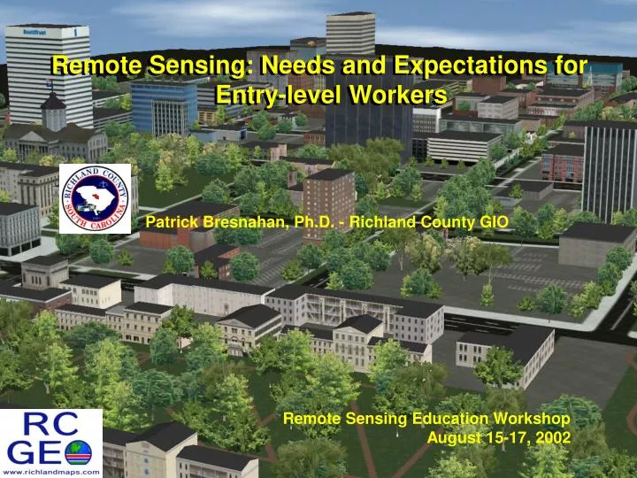
Remote Sensing: Needs and Expectations for Entry-level Workers. Remote Sensing: Needs and Expectations for Entry-level Workers. Patrick Bresnahan, Ph.D. - Richland County GIO. Remote Sensing Education Workshop August 15-17, 2002. Remote Sensing in Local Government.

E N D
Remote Sensing: Needs and Expectations for Entry-level Workers Remote Sensing: Needs and Expectations for Entry-level Workers Patrick Bresnahan, Ph.D. - Richland County GIO Remote Sensing Education Workshop August 15-17, 2002
Remote Sensing in Local Government • Taxation – (parcel maintenance, untaxed property, etc.) • Infrastructure data maintenance (GASB34) • Pavement management • Structure analysis • Floodplain analyses • Wetlands delineation • Hydrologic Modeling • Land cover • Stormwater management (NPDES) • Planning • Smart growth – natural/human interaction • Change detection/sprawl • Disaster response/mitigation
Remote Sensing in Local Government • Observation #1: The overwhelming majority of remote sensing users in local and state government come to their employers from technical training or undergraduate programs. * (Richland County is a fortunate exception to the rule) • Observation #2: Remote sensing use in state and local government is most often handled by GIS staff. Some mapping use but minimal analysis in planning, engineering, public works, etc.
Undergraduate Sources Core Technical Staff (often within a GIS group) “Enablers” • Geography • Geology • Environmental Sciences (including environ. health sciences) • Planning and Architecture • Computer Science (prompted by the economy?) • Civil Engineering GIS users come from just about every major “Users” academic department
Prepare for Limitations • Observation #3: When recruiting or reviewing candidates, you must always remember the significant difference between education and training (capabilities, experience, understanding, etc.). • Observation #4: “If we broke their index fingers (click-click-click), they would have to collect unemployment.”
Skills of New Employees1 • software (semi-) proficiencies (ArcView) • limited understanding of GIS • undergraduates that have ‘used’ ArcView or have heard of ERDAS expect to be analysts • often, database management = MS Excel or ArcView tables • minimal cartography • geography graduates only • cartography is being left out of core curriculum 1 The average undergraduate candidate. Geography majors that have taken remote sensing courses tend to be above average.
Skills of New Employees1 • fundamental air photo interpretation • geography graduates only • very thin on principles of remote sensing • remote sensing (beyond aerial photo interpretation) is offered only at the graduate level in some colleges/universities • requires interest/commitment while in college (specialized) 1 The average undergraduate candidate. Geography majors that have taken remote sensing courses tend to be above average.
Skills We Need to See - I • fundamentals of databases • database structures, relational concepts • data integration (conversion, access/SQL, etc.) • efficiencies (indexing) and maintenance • basic computer science • file management and access • fundamentals of networks/management • hardware/software/infrastructure relationships • programming foundations • basic concepts of structures and objects • methods (if/then/else/for/do/while, boolean logic)
Skills We Need to See - II • solid foundation in remote sensing concepts • fundamentals of light, feature curves • active & passive technologies/applications • measurement and structures • projections, coordinate systems, geodesy, etc. • understanding various data models and appropriate applications of them • feature > model concepts • confounding factors (sampling, databases, etc.)
Skills We Need to See - III • understanding of geographic phenomena • background in physical and cultural geography • identification of relationships (human/land) • ‘good geographers’ • ability to systematically evaluate technical issues • assess appropriateness of methods/ideas • review/recommend technologies • knowledge to develop procedures and methods • method testing and documentation • developing quality control/assurance methods
Superior Skills • basic image processing • spatial components (reg/rect, sample, etc.) • analyses (enhancement, classification, statistical) • software proficiency • ERDAS, ER Mapper, ENVI, etc. • increased math ability • data interpolation, modeling, etc. • inferential statistics • decision support/analysis, research