Download
1 / 12
130 likes | 339 Vues
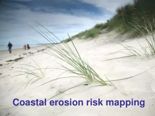
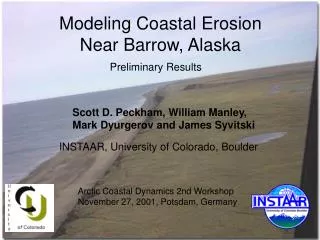
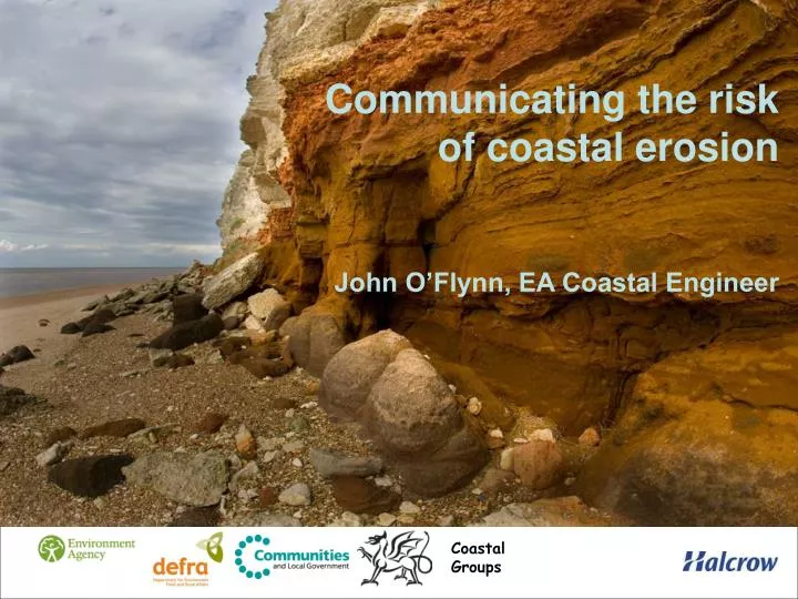
Communicating the risk of coastal erosion John O’Flynn, EA Coastal Engineer. Coastal Groups. Project background and aims. Began in 2006 prompted by Making Space for Water and the Welsh Environment Strategy

E N D
Communicating the risk of coastal erosionJohn O’Flynn, EA Coastal Engineer Coastal Groups
Project background and aims • Began in 2006 prompted by Making Space for Water and the Welsh Environment Strategy • Aims to provide a consistent dataset for coastal practitioners and raise awareness of risk among the public • Complements SMPs, the Flood Map and other risk mapping • Aims to communicate complex messages in a user-friendly way.
Key NCERM project outputs: • NCERM ‘web tool’ • Professional Partner Products: - NCERM GIS database for the SMP area - SMP Comparison Report - Summary statistics for the SMP area • Q&A and engagement support
Project activity since 2006 • 2006-2008: Halcrow data gathering and initial validation with local authorities • 2007-2009: Website development • 2009-2010: Incorporation of UKCP09 and engagement between EA and local authority officers • 2010: delays whilst awaiting Ministerial approval for project continuation • 2011: Ministerial approval
Ministerial decisions on NCERM (1): • Support for principles of the project • Web publication should display 0-20 year erosion projections only • Phased web publication – or at least a couple of ‘pilots’ to gauge reactions and learn lessons • Web hosting either by local authorities or at least with clear linkage from their websites • Support for engagement work but no further Defra funding until timetables are agreed – local authorities and EA staff should agree responsibilities and activity locally.
Ministerial decisions on NCERM (2): • Local authorities will decide when – and whether – to agree publication of NCERM information for their coastline on the web.
Where we are now and what it means for you (1): • Final data validation, SMP by SMP, local authority by local authority • Data validation completed for SMPs 1, 2 (both in NE) and 12 (Beachy Head to Selsey Bill) • Web hosting almost finalised, and currently planned to be EA ‘What’s in Your Backyard’ area alongside other maps, due to converge with Directgov
Where we are now and what it means for you (2): • EA has regional NCERM leads and Engagement leads around the country • National Communications & engagement plan developed • They will be working with local authorities to - draw up more localised communications & engagement plans - ascertain relative capacity for engagement, call handling etc - supporting validation and agreeing web publication arrangements, and providing website demonstrations - beginning joint engagement with stakeholders
“We are improving our understanding of coastal erosion using local knowledge and the best available science, and raising awareness now, so that we can all adapttogether to our changingcoast…” Any Questions? Coastal Groups