Download
1 / 27
270 likes | 399 Vues
AfriGEOSS Working Group Workshop 13-14 March 2014, RCMRD Nairobi, Kenya Central Africa EO Initiatives1st Assessment. Aboubakar Mambimba Ndjoungui aboubakar.mambimba@ageos.ga – aboubakar.mambimba@ird.fr – abmambimba@gmail.com (AGEOS, CA AfriGEOSS focal point). Agenda. INTRODUCTION

E N D
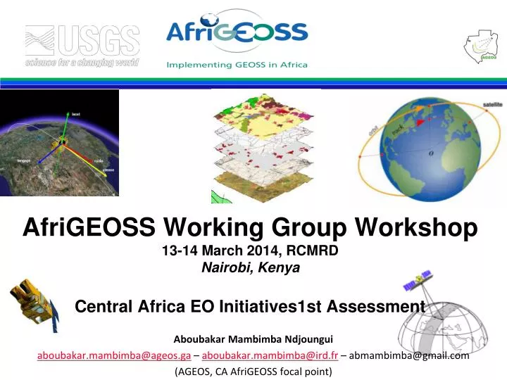
AfriGEOSS Working Group Workshop13-14 March 2014, RCMRDNairobi, Kenya Central Africa EO Initiatives1st Assessment Aboubakar MambimbaNdjoungui aboubakar.mambimba@ageos.ga – aboubakar.mambimba@ird.fr – abmambimba@gmail.com (AGEOS, CA AfriGEOSS focal point)
Agenda • INTRODUCTION • NATIONAL LEVEL • REGIONAL LEVEL • CONCLUSION
Introduction AfriGEO main goals : • Link current GEO activities with existing capabilities and initiatives in Africa in order to enhance the region’s capacity for producing, managing and using Earth observations, • To identify challenges and put in place measures to enhance Africa’s participation in, and contribution to, the Global Earth Observation System of Systems (GEOSS). That means we must succeed
Challenges : • Arrangements to make systems interoperable and to share data, focusing on the nine societal benefit areas; • Collective optimization of the observation strategy (sampling strategies) by strengthening operational relationship among observation systems, research programmes and user communities; • Cooperative gap filling, in order to allow observations in all areas, since deficiencies in observations in one area may have impacts in other areas; • Observation continuity, to allow credibility over long term periods; • Capacity building in human resources, infrastructure and institutional capacity, with a strategy based on global partnership, enabling larger networks (in R&D, for instance) that would not be sustainable on the sole national grounds. Vehicles such as the European Community Framework Programmes are used.
National level : Gabon • a strong political commitment at the highestlevel of the state has identified the need to develop effective technological tools for the management of naturalresources, urban monitoring and the environment. The President of Gabon tookhead on the issue of climate change and itseffects on the environment. Some tools have been implemented: • AgenceGabonaise d’Etudes et d’ObservationsSpatiales • Conseil National Climate (National Climate Council) • Plan National Geomatique (National Geomatic Plan) • Direction Générale de l’Environnement (General Directorate-for Environment) • AgenceNationale des ParcsNationaux (National Agency for National Parks) • Institut National de Cartographie (National Institute of Cartography)
National level : Congo Republic Without more information about the local institutions and the projects related to the EO use. We get the following information about some ongoing projects. • Creation of a National Climate Centre alsocalledClimate and Environment Observatory of the Republic of Congo; • Installation of twelve (12) automaticmeteorological stations; • MESA (Programme Monitoring Environment and Security in Africa) with the support of the EU and itspartners; • Congo-Hycosprojectwith the support of World MeteorologicalOrganization; • Creation of a national multi sectoral and multi thematic network called "SAGA-EO (Action in support of GMES-Africa on Earth Observation) ;
National level : Cameroun Without more information on capacities and initiatives, we get the following : • CETELCAF (Remote Senging and Forest mapping centre) produces vegetation and land-use maps for the country, and is involved in the topographic map updating efforts with the Institut National de Cartographie (Mapping Institute). It also produces a logging concession database. • According to the GEO focal point in the country, many projects using EO data is ingoing.
National level : Democratic Republic of Congo Waiting for information
National level : Central Africa Republic Waiting for information
National level : Tchad Waiting for information
National level : Angola Waiting for information
National level : Equatorial Guinea Waiting for information
National level : Sao Tomé & Principe Waiting for information
Regional level : CEEAC (ECCAS) The ECCAS/CEEAC (Economic Community of Central African States / CommunautéEconomique des Etats de l’AfriqueCentrale), is composed of 10 countries . ECCAS/CEEAC has no space policy, but has created an Environmental and Natural Resource Management Policy (PolitiqueGénérale en matièred’Environnementet de Gestion des RessourcesNaturelles), dated March 2007. The institutional diversity of the Region in the field of natural resource management has led the CEEAC / ECCAS to setup a number of specialised technical centres, such as : • CEFDHAC (Conférence sur les Ecosystèmes des Forêts Denses et Humides d’Afrique Centrale : Central AfricanConference on closed and wet Forest) ; • OCFSA (Organisation pour la Conservation de la Faune Sauvage en Afrique : Organization for the Conservation of Wildlife in Africa) ; • OSFAC (Observatoire des Forêts d’Afrique Centrale : Central Africa Forest Observatory) ;
Regional level : CEEAC (ECCAS) • ADIE (Agence pour le Développement d’Information Environnementale : Development of Environmental Information Agency) ; • RAPAC (Réseau des Aires Protégées d’Afrique Centrale : Central AfricaProtected Area network) ; • COMIFAC (Commission des Forêts d’Afrique Centrale : Central Africa Forest Commission) ; • COREP (Commission Régionale des Pêches du Golfe de Guinée : FishingRegional Commission of Guinea Gulf) ; • CICOS (Commission Internationale du Bassin Congo- Oubangui- Sangha : International Commission of Congo-Oubangui-Sangha Basin) ;
Regional level : CEEAC (ECCAS) The role of ECCAS is to coordinate and harmonize the actions of these centres within the Region, in such a way that the coherence is achieved on the operational and institutional action plans, in cooperation with the CEMAC (Economic and Monetary Community of Central Africa). The vision of the ECCAS of its Environment Policy is then to be the federating regional institution of the actions pertaining to the environment and natural resources management. The objectives, or strategic orientation axis, of the environmental actions of the ECCAS have been agreed upon between the Member States (April 2004) as registered in the Environmental Action Plan of NEPAD (EAP NEPAD) for Central Africa. • 3 major priority axes are decided : - Stability, Peace and Security; - Infrastructure and transportation; - Environment.
Regional level : CEEAC (ECCAS) The following table presents the regional ECCAS strategic objectives, together with what EO technologies would do to help achieving such objectives. There are 12 strategic objectives, however for the moment only 4 are implemented: Forests, Climate Change, Marine ecosystems and fisheries, and Disaster Risk reduction.
Conclusion • Many existing initiatives need to be identify, • Focal point in the country need to be identify, • Assessment is ongoing.
PALSAR Forest/Non-Forest at Gabon ●Forest ●Non-Forest ●Water 2007 2008 2009 2010
Forest/Non-Forest Change at Gabon ●Forest ●Non-Forest ●Water ●Afforestation ●Deforestation 2007 - 2008 2008 -2009 2009 - 2010 2007 - 2010
Forest cover map with Landsat data Monitoring of Forest Cover Change in Gabon was carried out within the framework of the GSE FM program supported by ESA 1990 2000
National parcs map • Republic of Gabon. • 268 000 sq km • Population : 1.5 million. • Located on the equator, • More than 88% of the territory is covered by forest. • 13 National parks represent 11% of the territory Equator