Download
1 / 19
190 likes | 344 Vues
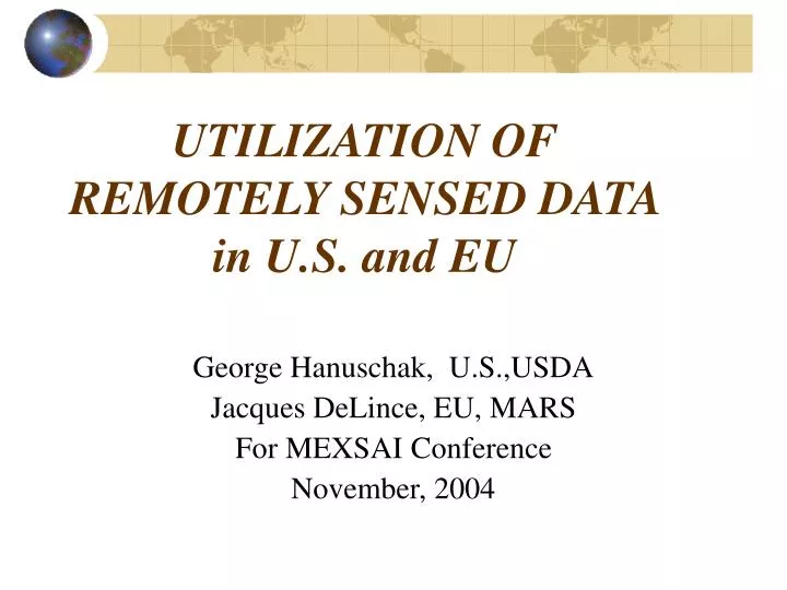
UTILIZATION OF REMOTELY SENSED DATA in U.S. and EU. George Hanuschak, U.S.,USDA Jacques DeLince, EU, MARS For MEXSAI Conference November, 2004. U.S. Agricultural Statistics Program Use of Remotely Sensed Data. Designing and Building of Area Frames Crop Area Estimation

E N D
UTILIZATION OF REMOTELY SENSED DATA in U.S. and EU George Hanuschak, U.S.,USDA Jacques DeLince, EU, MARS For MEXSAI Conference November, 2004
U.S. Agricultural Statistics ProgramUse of Remotely Sensed Data • Designing and Building of Area Frames • Crop Area Estimation • Cropland Data (Public Use GIS) Layer • Crop Vegetative Condition Monitoring
Designing and Building Area Sampling Frames • Stratify Land Area into Percent Cultivation Categories • In Some Cases, Use “Deep Crop Specific” Stratification
Crop Area Estimation • For Selected Major Producing States • Regression Estimator—State, County • Best Internal Agency Indication (end of year) • Compared to Administrative Data
Cropland Data Layer Uses • Federal, State and Local Government(s) • Agribusinesses-Input/Output Sectors • Researchers-University and Private • Value Added Private Sector
Cropland Data Layer Uses • Farm Organizations/Farmers • Water Quality Monitoring • Crop Rotation Analysis • Environmental and Animal Habitat Monitoring
Cropland Data Layer States Cooperative partnerships & year implemented
Citrus Tree Counting • Very High Resolution, QUICKBIRD • Automated Tree Counting-EU/MARS • Mixed Results * Mature vs. (Young or Pre-Bearing) * Hedge Like Appearance * Sandy Soils Dominating Signature
Quickbird Satellite Data of Citrus Block A healthy block, note the northern shadows at the breaks
Summary for Remote Sensing • Good and Cost Effective Applications • Supplement to Ground Surveys (not a replacement) • Resource Leveraging Partnerships Key • Concerns about Future Mid-Resolution Data Availability