Download
1 / 9
90 likes | 302 Vues
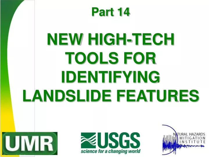
Part 14. NEW HIGH-TECH TOOLS FOR IDENTIFYING LANDSLIDE FEATURES. Digital map image of the West Lost Trail Creek Landslide created by overlaying USGS DOQQ aerial photo on 10 m Digital Elevation Model, then rotating in space, using ArcGIS 9.1. Synthetic Aperture Radar (SAR).

E N D
Part 14 NEW HIGH-TECH TOOLS FOR IDENTIFYING LANDSLIDE FEATURES
Digital map image of the West Lost Trail Creek Landslide created by overlaying USGS DOQQ aerial photo on 10 m Digital Elevation Model, then rotating in space, using ArcGIS 9.1
Synthetic Aperture Radar (SAR) • SAR has ability to see through clouds and woody vegetation, up to about 4 inches thick. • It provides acute vertical exaggeration of geomorphic features, crucial to landslide hazard mapping • Image resolution and density controls scale of mappable features, such as these debris lobes
LiDARLight Detection and Ranging • LiDAR image of Paine Run, Virginia revealed an active fault scarp never previously seen, mapped, or even imagined! • “Bare Earth” assessment has incredible potential for landslide mapping
Seattle/Toe Jam Hill Fault Zone • Another USGS LiDAR imaging project that revealed hitherto unmapped Holocene fault scarps • Common problem in wooded terrain
Topographic Algorithms • Algorithms allow for rapid screening of large land areas, when combined with neural networks to create an artificial intelligence (AI) program to enable discriminate mapping. • Accuracy depends on quality and scale of digital elevation models • Will supplant stereopair aerial photographic methods for reconnaissance mapping of potential landslide hazards • Limitations would be spelled out on map products, recommending site-specific investigations be employed to determine presence, depth and character of past landslippage. • Property would not be “condemned” unfit for developmentsolely on interpretation of the regional hazard map.
Recent USGS Landslide Maps The USGS has used San Mateo County, CA as their prototype hazard mapping area since 1969. These plots show debris flow hazard map (at left) and landslide incidence map (at right) for Montara Mountain area of northern San Mateo County, CA.
End Users will demand increasingly detailed assessments. Landslide hazard maps generated using GIS can be overlain on tax assessor parcel maps will be used like FEMA Flood Insurance Rate Maps, spreading risk to lenders and insurers.
Future map products will appear like this, overlaying map information on DEMs and digital color images. These products relate well to the general public, planners, and decision makers. ArcGIS 9.1 product.


![Useful tools for [tech] startups](https://cdn2.slideserve.com/5187216/slide1-dt.jpg)