Download
1 / 14
140 likes | 405 Vues
Coastal Marine Ecological Classification Standard (CMECS) and the Ecosystem Thematic Network (ETN). Christopher J. Madden NatureServe March 2008. Applications of the Marine Standard Format. Identification of areas of Critical Habitat and Biodiversity Endemic species Threatened species

E N D
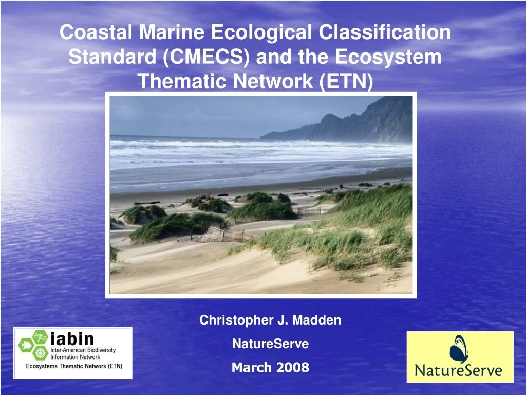
Coastal Marine Ecological Classification Standard (CMECS) and the Ecosystem Thematic Network (ETN) Christopher J. Madden NatureServe March 2008
Applications of the Marine Standard Format • Identification of areas of Critical Habitat and Biodiversity • Endemic species • Threatened species • Hot spots • Delineate MPAs • Locate Essential Fish Habitat • Ecosystem Based Management
Advantages of the Marine Standard Format • Participate in a large data network • Seamless integration with Freshwater and Terrestrial ETNs • Umbrella classification that incorporates or translates all member datasets
CMECS Suite of Classification Tools Biophysical Classification Geoform Classification Benthic Cover Classification Water Column Classification
CMECS-GEOSS Integration • Hierarchical within Biogeographic regions • Nested • Similar to a species taxonomy • Bio-physical • Spatial from a meters to contintental scale • Inclusive of and translates with other classifications
CMECS III Hierarchy w/in Ecoregion Ecological Region Ecological Region L1 Fresh Water Influenced L2 Regime Marine Nearshore Marine L3 System Estuarine-Influenced Neritic Oceanic Estuary L4 Intertidal/Benthic Intertidal/Benthic Intertidal/Benthic Intertidal/Benthic Intertidal/Benthic Subsystem L5 Bare/Colonized/ Vegetated Bare/Colonized/ Vegetated Bare/Colonized/ Vegetated Bare/Colonized/ Vegetated Bare/Colonized/ Vegetated Cover L6 Class Vagile Species & Biological Associations L7 Subclass Biotope Complex L8 L9 Biotope Biotope Biotope Biotope Biotope Biotope
Level Themes Ecoregion Climate Regime, Biogeography Regime/ System Salinity/Enclosure/Total Depth Sub system Intertidal/Benthic (Depth) Cover Biological Cover/Bare Class Biophysical Structure Subclass Biophysical Fine Structure, Substrate Biotope Complex Dominant Biology Type/Association Biotope Specific Biology Spatial Scale is an implicit classifier at each level Modifiers for Form, Energy, Light, Physico-Chemistry, Anthropogenics
Census of Marine Life and OBIS Data Model Linkages • OBIS will add CMECS habitat designation for each data set. (short term) • OBIS incorporating CMECS into its data model to allow habitat designations for all data records. (long term) • The OBIS portal will have a direct link to CMECS website. • OBIS-NatureServe working to unify terminology across IMCRA, EUNIS and CMECS
San Diego Supercomputer Center • OBIS Ontology Mapping Project • Translation and crosswalk via the “Wrapper” Physical multi-dimensional environment Ecological species & biology classification units Classification Hierarchy A useful tool for comparing classifications
NatureServe CMECS website http://www.natureserve.org/getData/CMECS/index.htm
NatureServe CMECS website http://www.natureserve.org/getData/CMECS/index.htm
Conclusion • Marine ETN Website will go live with the draft Standard Format late March 2008 • IABIN is conducting a training workshop April 2008 • Several LatAm countries are contributing data to the network • We invite additional projects from the Caribbean Basin http://biogeodb.stri.si.edu/bioinformatics/IABIN/FormatoEstandar/formatomarino.php