Download
1 / 21
210 likes | 346 Vues
Static and dynamic support of western U.S. topography. Thorsten W Becker University of Southern California, Los Angeles Claudio Faccenna (Universita di Roma TRE) Eugene D Humphreys (U Oregon Eugene) Anthony R Lowry (Utah State, Logan) Meghan S Miller (USC) .

E N D
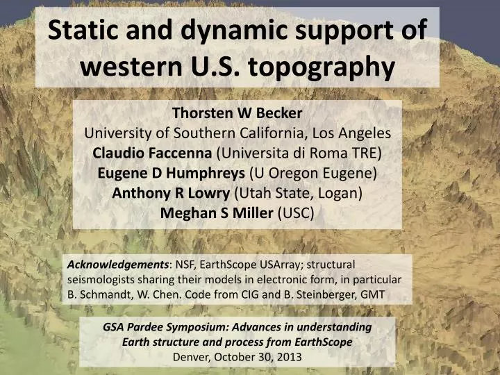
Static and dynamic support of western U.S. topography Thorsten W Becker University of Southern California, Los Angeles Claudio Faccenna (Universita di Roma TRE) Eugene D Humphreys (U Oregon Eugene) Anthony R Lowry (Utah State, Logan) Meghan S Miller (USC) Acknowledgements: NSF, EarthScope USArray; structural seismologists sharing their models in electronic form, in particular B. Schmandt, W. Chen. Code from CIG and B. Steinberger, GMT GSA Pardee Symposium: Advances in understanding Earth structure and process from EarthScope Denver, October 30, 2013
Origin of vertical tectonics? Lowry et al. (2000) e.g. Crough and Thompson (1977), Lachenbruch and Morgan (1990), Jones et al. (1992), Chase et al. (2002)
Forte et al. (2009) Moucha et al. (2008, 2009) Liu and Gurnis (2010)
What is the origin of non-flexural topography (in the context of USArray)? Smoothed (l > 200 km) reference topography CP : Colorado Plateau CVA : Cascades Volcanic Arc cGB : central Great Basin GV : Great Valley OCR : Oregon Coastal Ranges SN : Sierra Nevada YS : Yellowstone Becker et al. (2013)
Isostatic topography lc Isostatic contributions crust, rc ridge level L mantle lithosphere, rl ll asthenosphere ra crustal layer mantle lithosphere cf. Crough and Thompson (1977), Bird (1979), Lachenbruch and Morgan (1990)
lc Isostatic contributions crust, rc L mantle lithosphere, rl ll asthenosphere ra + deflections due to present-day asthenospheric flow (“dynamic topography”)
“Static” lc crust, rc L mantle lithosphere, rl ll asthenosphere ra + deflections due to present-day asthenospheric flow “Dynamic”
Crustal thickness from receiver function Mohos, based on USArray Levander and Miller (2012) Lowry and Perez-Gussinye (2011) mean and standard deviation of all depicted fields also see Chen et al. (2013)
Residual topography for variable crustal thickness Based on Levander and Miller (2012) Based on Lowry and Perez-Gussinye (2011) All residual topography models are minimized by adjusting the asthenospheric density at fixed crustal and lithospheric density Becker et al. (2013)
Based on Levander and Miller (2012) Correlation2for Airy isostasy (solid)and power spectrum(dashed) observed total r2 (coherence) Based on Lowry and Perez-Gussinye (2011) observed Becker et al. (2013)
Lithosphere-asthenosphere boundary (?) Inferred lithospheric mantle thickness Simplified, single surface inferred from PRF from Levander and Miller (2012) See also Kumar et al. (2012)
Residual topography for variable crustal and lithospheric thickness No big improvement compared to constant lithospheric thickness Becker et al. (2013)
If lithospheric thickness variations don’t work, what about crustal density variations? Density anomaly for no residual topography Lowry and Perez-Gussinye (2011)
Residual topographyincludingcrustal density variations ~60-75% coherence, but significant RMS of residual Red contours: < 20 Ma Blue contours: > 20 Ma volcanism from earthchem.org (cf. McQuarrie and Oskin, 2010; Karlstrom et al. 2012)
Residual topographyincludingcrustal and lithospheric density variations
Mantle flow induced topography:Simmons et al. (2007) global tomography full solution regional wavelengths cf. Moucha et al. (2008) Hager and O’Connell (1981) type computation, topography inferred from radial tractions at surface of spherical mantle circulation model (results are very similar for FE models with LVVs etc., cf. Ghosh et al., 2013)
Mantle flow induced topography:Ritsema et al. (2011) global tomography full solution regional wavelengths
Mantle flow induced topography:Schmandt and Humphreys (2010) regional model full solution regional wavelengths Results very similar for other recent western US tomography models (cf. Becker, 2012)
Match between residual and dynamic topography from present-day mantle flow Correlation ~ 0.6 Becker et al. (2013)
Conclusions • LAB does not seem to scale with simple lithospheric thickness estimates (MLD?) • Colorado plateau at present not dynamically supported, except at edges • Significant residual topography, particular in B&R (+) and along subduction regions (-) • Large fraction of topography residual explained by upper mantle, small scale convective flow • Mismatch indicative of partial melt, radial anisotropy, or chemical heterogeneity