Download
1 / 30
310 likes | 467 Vues
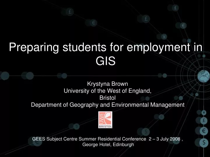
Preparing students for employment in GIS. Krystyna Brown University of the West of England, Bristol Department of Geography and Environmental Management GEES Subject Centre Summer Residential Conference 2 – 3 July 2008 , George Hotel, Edinburgh. Defining GIS. With GIS

E N D
Preparing students for employment in GIS Krystyna Brown University of the West of England, Bristol Department of Geography and Environmental Management GEES Subject Centre Summer Residential Conference 2 – 3 July 2008 , George Hotel, Edinburgh
Defining GIS • With GIS • it is possible to map, model, query, and analyse large quantities of data all held together within a single database. • Foote K. and Lynch M., (2000) The Geographer's Craft Project, Department of Geography, The University of Colorado at Boulder. http://www.colorado.edu/geography/gcraft/notes/intro/intro_f.html
My interests in GIS and employability • Jobs and GIS • Questionnaire to former students • 21% had found a job - some element of Geographic Information. • What had enhanced their chances?
Definitions • GIS - tool box - Set of tools for storing, retrieving, transforming and displaying spatial and attribute data. • GIS - information system - organising and working with spatial and non-spatial data . GIS is a simplification (model) of the real world. • GIS in decision-making - Spatial and non-spatial data combined in a GIS to assist in decision-making. • GIScience – seeking spatial patterns of geographical phenomena – spatial intelligence (Sui, 1995)
Integrating technology • GIS - an integrating technology • draws upon and extends techniques that geographers have traditionally used to analyse natural and social systems • Foote K.E and Lynch M. (2000) The Geographer's Craft Project, Department of Geography, The University of Colorado at Boulder.
GIS draws from • cartography, - science (and art) of map-making • remote sensing - Earth observation from space • geodesy - accurate measurement of the Earth • surveying - accurate measurement of features on the Earth • Global Positioning System • photogrammetry - measurement from photographs and images • image processing - analysis of image data • printing technology • computer science – software and hardware • database management • spatial statistics – AND willingness to venture into the unknown • adapted from http://www.ncgia.ucsb.edu/giscc/units/u002/ • The NCGIA Core Curriculum in GIScience
The Geography jigsaw • Joining the geography jigsaw ( GIS Professional June 2008, issue 22). • GIS • MOM • SEMANTIC INTEROPERABILITY – Pacific islanders • (Harvey, 2005)
Achieving world class skills • Leitch Review of Skills (2006) - committed to achieving by 2020. • World class high skills – widening the drive to improve the UK’s high skills to encompass the whole working-age population, including 18 – 30 year olds • These ambitions will not deliver economic benefits unless they are based on economically valuable skills that are effectively used in the workplace(my italics) • The Review’s conclusion that skills are now the key driver to achieving economic success and social justice in the global economy.
Employability and GIS • Employability • ‘a set of achievements – skills, understanding and personal attributes – that make graduates more likely to gain employment and be successful in their chosen occupations which benefits themselves, the workforce, the community and the economy’. Yorke (2004) • Many factors which relate to ability to gain employment.
Aspects which need improvement • GEES Graduate Employability Survey - studied graduates from three institutions who graduated in 2000, 2001 and 2002. • ‘aspects that were least satisfactorily developed were : • Professional work experience (88.3%) • Business awareness (75.6%) • Entrepreneurship (66.7% • Career planning (51.5%) • GIS (33.3%)’ Gedye and Chalkley (2006)
Linking GIS to the intellectual core of Geography • Teach about GIS • Technical issues (data acquisition, representation, analysis and visualisation) • Teach with GIS • GIS applied to geographical problem solving (Sui, 1995)
GIS in our degree programmes • Skills spine which is application underpinned by fundamentals – directly linked to GIS • Level 1 – Geographical investigation (cartography, digital mapping, airphoto interpretation, Digimap database, introduction to GIS software, statistics, field trip • Level 2 – GIS skills - preparation for level 3 dissertation. • – Elective option – GIS, surveying and mapping (½ module). • Level 3 – GIS and Remote Sensing Applications (full module)
Supporting team • Team work: • Liaison with IT Manager • GIS and Computing Technical Staff • 4 computer rooms • 24 hour access • Timed computer sessions • Working with the student computer network
How did former students get GI jobs? • Could point to modules with GIS • Could provide proof of their level 3 - GIS team project • Dissertations • Were aware of applications • Had transferable skills (from questionnaires to former students – 2004, 2007)
Employers • What factors enhanced employability for these jobs? • (extracted from semi-structured interviews with employers). • Digital mapping • Spatial awareness • GIS analytical skills • Data management skills • work experience - almost a prerequisite for all but basic entry jobs.
Work placements • Interest in work placements? • Opportunities, but not able to interest many in a one-year placement. • Need to raise awareness among level 2 students. • May be more takers in summer 3 month placements. • Other departments have 1 – 2 week placements
Examples of applications • Geographic information (GI) is at the heart of every organisation. • Customer addresses • Property assets • Operational areas • Administrative boundaries • Road and delivery or access routes • Crime mapping • . • Adapted from http://www.agi.org.uk/pooled/articles/BF_JOBSART/view.asp?Q=BF_JOBSART_302552
Job titles Job titles from the questionnaire sent to former students - 2004.and 2007Not a GIS job?
Geography degrees • Geographers - specialists at being generalists • - not vocational degrees • But since the increase in fees - more queries about what jobs are available to those with a geography degree.
Recruitment Agency • 16, 000 GIS jobs on the database • Candidate profile • Degree, Masters, PhD, PRINCE 2 etc • GIS Skills • Programming languages • Web technologies • Databases
GIS software ? • ArcGIS Jack Dangermond • ArcInfo • ArcPad • AutoCAD • Bentley • Cadcorp • ER Mapper • Geomedia • Mapinfo • 3D • NLPG • SmallWorld • From a choice of 20
Transferable skills • WHAT EMPLOYERS VALUE IN NEW GRADUATES • Working under pressure • Oral communication skills • Accuracy • Attention to detail • Working in a team • Time management • Adaptability • Initiative • Working independently • Taking responsibility and decisions • Planning, coordinating and organising (Brennan et al. (2001) Top 4?
Top 4 • Working in a team • Oral communication skills • Accuracy • Time management
Dynamic field • It is a changing dynamic and developing field - • you have to build skills and knowledge throughout your career. • Job descriptions change
Chartered Geographer • The Association for Geographic Information has joined with the Royal Geographical Society with IBG to introduce the professional status of Chartered Geographer (GIS) for suitably qualified individuals. • suited to those working in the GI Science field, indicating their competence and experience in interpreting geographical information and in geographical analysis, based on a wide understanding of using geographical processes’. • http://www.agi.org.uk/bfora/systems/xmlviewer/default.asp?arg=DS_AGI_PSART_57/_page.xsl/73 ‘
Conclusions and Recommendations • Preparing for a job in GIS? • Fundamentals – first principles • Get the training – in your particular field of geography • Get work experience • Know your market • Get transferable skills • Recognise that updating skills and understanding is essential – this is a developing dynamic field.
Conclusions and Recommendations • Preparing for a job in GIS? • Fundamentals – first principles • Get the training – in your particular field of geography • Get work experience • Know your market • Get transferable skills • Recognise that updating skills and understanding is essential – this is a developing dynamic field.
Acknowledgements • Many thanks to my colleagues, support staff, employers who agreed to to be interviewed and especially • Michael Horswell • Neil Porritt • Paul Satchell • Justin Brown • Suresh Shah
References • Brennan, J., Johnston, B., Little, B., Shah, T. and Woodley, A. (2001) The Employment of UK Graduates: Comparisons with Europe and Japan. London: The Higher Education Funding Council for England. • Foote Kenneth E. and Lynch Margaret, (2000) The Geographer's Craft Project, Department of Geography, The University of Colorado at Boulder. • Gedye, Sharon and Chalkley, Brian (2006) Employability within Geography, Earth and Environmental Sciences. GEES 2006. • Sui, D (1995) A pedagogic framework to link GIS to the intellectual core of geography. Journal of Geography vol. 94 pt6, pp578 – 591. • Yorke, M. (2004) Learning and employability, Book 1. LTSN Support Network, ESECT Publication.