Download

1 / 7

E N D
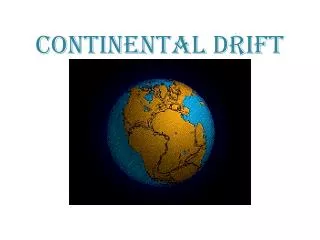
Continental drift Valeria Urhan
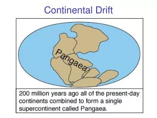
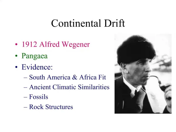
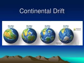
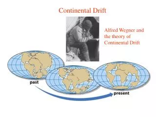
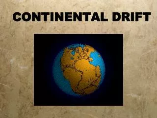
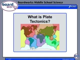
Continental drift • Continental drift is the movement of the Earth's continents relative to each other by appearing to drift across the ocean bed. The speculation that continents might have 'drifted' was first put forward by Abraham Ortelius in 1596. The concept was independently and more fully developed by Alfred Wegener in 1912. The theory of continental drift was superseded by the theory of plate tectonics, which explains how the continents move.
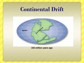
Wegener’s theory • The similarity of southern continent geological formations had led Roberto Mantovani to conjecture in 1889 and 1909 that all the continents had once been joined into a supercontinent (now known as Pangaea); Wegener noted the similarity of Mantovani's and his own maps of the former positions of the southern continents.
Through volcanic activity due to thermal expansion this continent broke and the new continents drifted away from each other because of further expansion of the rip-zones, where the oceans now lie. This led Mantovani to propose an Expanding Earth theory which has since been shown to be incorrect. • Some sort of continental drift without expansion suggested that the continents were dragged towards the equator by increased lunar gravity during the Cretaceous, thus forming the Himalayas and Alps on the southern faces.
tands for the Quaternary period. GEOLOGICAL TIME SCALE