Download
1 / 16
160 likes | 260 Vues
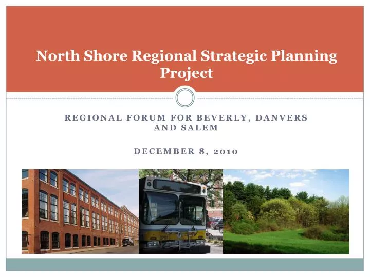
North Shore Regional Strategic Planning Project. Regional forum for beverly , danvers and salem December 8, 2010. About the Project. This project is funded by the Executive Office of Housing and Economic Development (EOHED) and the Metropolitan Area Planning Council (MAPC).

E N D
North Shore Regional Strategic Planning Project Regional forum for beverly, danvers and salem December 8, 2010
About the Project This project is funded by the Executive Office of Housing and Economic Development (EOHED) and the Metropolitan Area Planning Council (MAPC). The project involves the communities of Beverly, Danvers, Hamilton, Ipswich, Salem and Wenham. Communities were contacted to determine their interest in participating.
Purpose of the Project Identify priority development and preservation areas and regionally significant transportation investments. Evaluate implementation tools and options. Promote inter-municipal discussion and collaboration on land use issues. Provide an understanding of the regional context within which decisions are made and their relation to the goals of the regional plan, MetroFuture. Evaluate how communities’ actions/goals are working to meet the state’s land use goals as expressed in the proposed land use partnership act.
Meeting Format This presentation will provide an overview of the key elements of the project. At the end of this presentation I will walk you through the maps. We’ll have a brief ten minute break for you to view maps. The last slide poses some questions to start off the discussion part of tonight.
Process Review of previous plans, studies and reports. Meetings with city and town planners. Community meetings. MAPC review of mapped areas to determine those with regional significance. Regional forums.
Priority Development Areas (PDAs) Areas for development or redevelopment/re-use. May include retail, industrial, office, housing. In general, PDAs are located where infrastructure already exists but may need additional investment in infrastructure to realize their growth potential. General location where growth is desired but still subject to local zoning and development regulations.
Priority Preservation Areas (PPAs) Areas that have significant natural resources or features. Areas critical to water supply. Scenic vistas. Areas of historical significance. Areas that link open spaces and create trail networks.
Combined PDA/PPAs Cross-hatched areas represent areas where preservation and development are both desired. Some areas may be slated for limited development that preserves significant open spaces (i.e. Great Estates Bylaw in Ipswich). Other areas may represent conflicting desires within a community that need to be resolved.
Regionally Significant Transportation Investments Projects that increase efficiency and enhance inter-connectivity for regional travel. Roadway improvements as well as transit, bicycle and pedestrian improvements that individually or collectively support regional mobility. Airports, ports and intermodal freight facilities that serve the regional economy.
Criteria for Regional Significance - PDAs • Relationship of PDA to Metro Future Community Oriented Development Areas (CODAs). • Areas identified for targeted growth based on transit access, existing population and employment density, town/village centers, sewer service, master plans, underutilized commercial districts and/or community comments. • Average Distance to Common Household Destinations – a measure of how much a household has to travel for daily errands. • Highway access. • In denser urban areas, smaller mixed-use site may not reach the level of regional significance.
Criteria for Regional Significance - PPAs • Value as a water supply protection area. • Connecting other open space areas. • Congruence with State Land Conservation Plan priorities. • Plan seeks to conserve 1 million acres of the most significant open space not already developed or protected. • Protection of scenic vistas. • Relationship to a larger eco-system. • Preservation of agricultural land. • In urban areas, smaller parcels, especially those providing access to water were considered regionally significant.
Criteria for Regional Significance - RSTIs RSTIs that support identified Regionally Significant PDAs. RSTIs that connect to identified Regionally Significant PPAs without adverse impacts. RSTIs that increase regional transportation choices.
Identify development and preservation areas and transportation projects
What is Metro Future? A bold and achievable plan to make a "Greater Boston Region" - to better the lives of the people who live and work in Metropolitan Boston between now and 2030. Built with the extensive participation of thousands of "plan builders," it includes 65 detailed goals for development and preservation, and 13 specific implementation strategies. MetroFuture Focuses on Growth where it Already Exists - where we live, work and play, linked by an efficient transportation system and protects our natural resources.
Regulatory tools with regard to Zoning Reform Legislation and Metro Future • As part of the final report to the state, MAPC will also evaluate how local regulations promote state-wide land use goals and MetroFuture in areas including, but not limited to: • Regulations guaranteeing prompt and predictable permitting for commercial and industrial development. • Zoning for by-right multi-family or higher density single family residential development. • Zoning for renewable energy facilities (generating, R&D, manufacturing). • Zoning for open space residential or cluster developments. • Regulations requiring Low Impact Development techniques. • Adoption of the Community Preservation Act.
Inter-municipal discussion on land use issues Did you learn anything new about what is going on in other communities? Do you have a better understanding of your goals for development and preservation in a regional context? Have we missed any key preservation or development areas or transportation improvements? Do you have ideas for how to continue this inter-municipal dialog?