Download
1 / 7
80 likes | 365 Vues
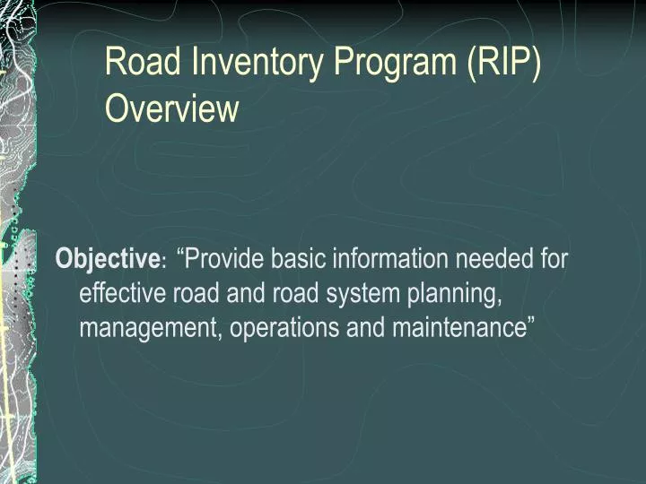
Road Inventory Program (RIP) Overview. Objective : “Provide basic information needed for effective road and road system planning, management, operations and maintenance”. Data Collection. Two Field Visits Route ID Meeting – FHWA Personnel

E N D
Road Inventory Program (RIP) Overview Objective:“Provide basic information needed for effective road and road system planning, management, operations and maintenance”
Data Collection Two Field Visits • Route ID Meeting – FHWA Personnel • Identify all park route names, numbers, and functional classifications including unpaved roads. This is done in partnership with park staff. • Perform a variety of field checks to assist the data collection process. • Data Collection – ARAN (Contract Personnel) • Collect automated data (roughness, distresses, video. GPS, most roadside features) • Requires some assistance from park staff – mark culvert locations ahead of time.
Data Collected • Route Identification (includes unpaved*) • Route Name • Route Number • Route Length • Functional Classification • Parking Lots (name, number, area) • Lanes and Width • Roadway Features • Pullouts • Intersections • Culverts • Guardrail • Guard wall • Bridge Location • Signs • ETC. • Pavement Condition • Cracking • Rutting • Patching • Roughness • Shoulder and Drainage • Condition Rating GPS Roadway Trace * Unpaved info is park provided – not measured
Condition Indices Surface Condition Rating (SCR) – 0 to 100 index combining all surface distresses (cracking, patching, rutting). Roughness Index (RI) – 0-100 index based on International Roughness Index (IRI) measurements. Cumulative deflection in inches per mile. Pavement Condition Rating (PCR) – 0 to 100 index combining SCR with pavement roughness. PCR = 0.6*SCR + 0.4*RI
Output Data • RIP Report – All Parks • Road Summary Info • Maps • Route ID Info • Condition Rating Sheets and maps • Mile-by-mile condition info • Parking Lot Info • Photos, area GPS trace • Features Summary • Road Log • CD, DVD and Hard Drive • –All Parks • MS Access Database • “Canned” Output Reports • Video Images • Image View Software • VisiData • Interactive Video and Data Database • All NPS parks • External Hard Drive (USB)
Data Availability • Request from the Project Manager • Data to be provided on USB External Hard Drive • Install VisiData program and copy data • Return external hard drive to CFLHD • VisiData Tutorial CD and Manual Available upon request
Quick VisiData Demonstration Questions?


![[PDF] Free Download The Rip By Mark Brandi](https://cdn4.slideserve.com/8220320/slide1-dt.jpg)