Download
1 / 6
60 likes | 185 Vues
Magnitude 7.3 OFFSHORE HONDURAS Thursday, May 26, 2009 at 08:24:45 UTC.

E N D
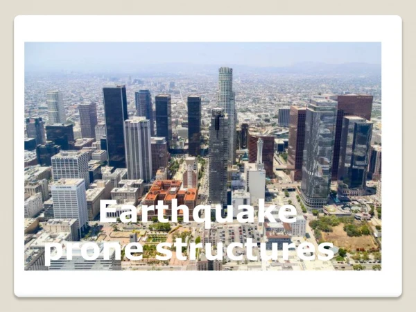
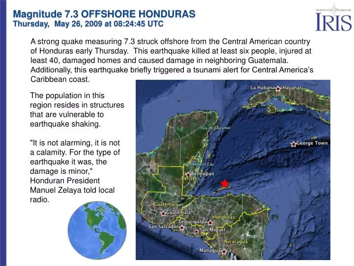
Magnitude 7.3 OFFSHORE HONDURAS Thursday, May 26, 2009 at 08:24:45 UTC A strong quake measuring 7.3 struck offshore from the Central American country of Honduras early Thursday. This earthquake killed at least six people, injured at least 40, damaged homes and caused damage in neighboring Guatemala. Additionally, this earthquake briefly triggered a tsunami alert for Central America’s Caribbean coast. The population in this region resides in structures that are vulnerable to earthquake shaking. "It is not alarming, it is not a calamity. For the type of earthquake it was, the damage is minor," Honduran President Manuel Zelaya told local radio.
Magnitude 7.3 OFFSHORE HONDURAS Thursday, May 26, 2009 at 08:24:45 UTC This map below shows historic earthquake activity near the epicenter (gold star) from 1990 to present. Previous strong earthquakes along the North America/Caribbean plate boundary include the destructive Guatemala earthquake of February 4, 1976, M 7.5, which produced more than 23,000 fatalities. Honduras has additional seismic hazard from the subduction zone off the country’s west coast.
Magnitude 7.3 OFFSHORE HONDURAS Thursday, May 26, 2009 at 08:24:45 UTC This map shows the rates and directions of motion of the Cocos, Pacific, and Caribbean plates with respect to the North American Plate. The small arrows on the Caribbean Plate show that it moves eastward at a rate of about 20 mm/yr (2 cm/year) with respect to the North American Plate. This is a fairly slow rate of transform (side-by-side) motion between the Caribbean and North American plates. For comparison, the rate of transform motion across the San Andreas transform fault between the North American and Pacific plates is about 50 mm/yr (5 cm/yr). North American Plate Caribbean Plate Pacific Plate Cocos Plate
Magnitude 7.3 OFFSHORE HONDURAS Thursday, May 26, 2009 at 08:24:45 UTC This earthquake occurred on the transform plate boundary between the Caribbean and North American plates. As expected for an earthquake on a transform boundary, the depth of the event was quite shallow at about 10 km. Transform faults occur where plates slide past each other, and crust is neither destroyed nor created. Another example of a transform fault fault is the San Andreas in California which runs from the Mendocino Triple Junction in the north to the Imperial Valley in the south. Transform Faulting
Magnitude 7.3 OFFSHORE HONDURAS Thursday, May 26, 2009 at 08:24:45 UTC Earthquake Seismometers
Magnitude 7.3 OFFSHORE HONDURAS Thursday, May 26, 2009 at 08:24:45 UTC Quick Time Required Animation of the seismic waves travelling from the Honduras earthquake to Portland, Oregon