Download
1 / 16
170 likes | 374 Vues
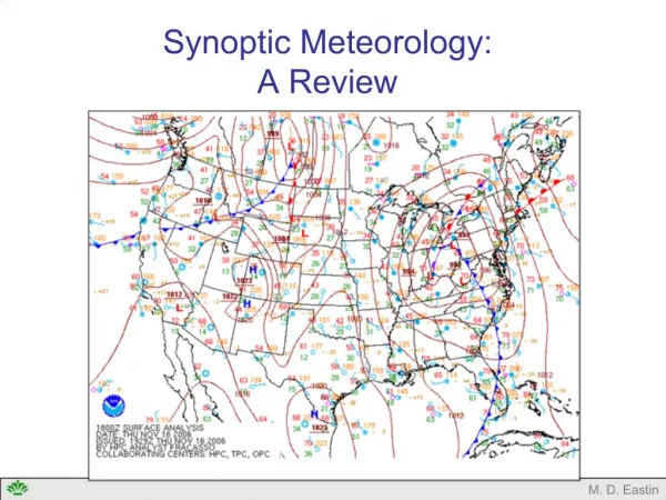
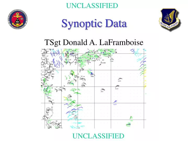
Synoptic Data. TSgt Donald A. LaFramboise. Synoptic Data It’s application in Satellite Analysis. Why should I use Synoptic data? How can it be useful in Satellite Analysis? What are some of the problems encountered with synoptic data? Where can this data be found?. Why use synoptic data?.

E N D
Synoptic Data TSgt Donald A. LaFramboise
Synoptic DataIt’s application in Satellite Analysis • Why should I use Synoptic data? • How can it be useful in Satellite Analysis? • What are some of the problems encountered with synoptic data? • Where can this data be found?
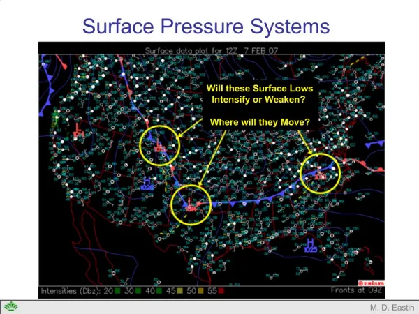
How can Synoptic data be used inSatellite Analysis? • Verify positions • Wind Directions • Surface Pressures • Verify Intensities • Wind Speeds • Surface Pressure • Overlay data on Imagery
Data Sources • Land Synoptic Reports • Ship Synoptic Reports • Buoy Data • Gradient level Rawinsonde Reports • Gradient Level Satellite Derived Winds • Scatterometer Data
Scatterometer Data http://manati.wwb.noaa.gov/doc/erswinds.html
Problem area encountered • Availability and Timeliness of Data • Data is usually 3-5 hours old by the time it is available • Not always available when and where it is needed • Data Coverage • Coverage is subject to availability of ships, buoys, and land stations • Data Errors • Observer errors (encryption and transcription errors) • Code conversion errors (Computer errors)
Data InconsistenciesSea Level Pressure • Variation due to uneven terrain features • Variable pressures due to Convection • Instrument errors in underdeveloped countries where calibration is infrequent • Inaccuracies in sea level conversions for stations above 1700 feet MSL
Data InconsistenciesShip Reports • Average wind speed error rate from ship reports are 0.6 knots per Beaufort Scale division • Coverage over vast ocean areas is limited • Wind directions have an average error of + 10 degrees
The Benefits • Ships and Buoys provide coverage where there would otherwise be none • Reports near systems or areas provide a minimum speed or intensity for that system
Where can this data be found? • If you are using AWDS or a similar system it should be available automatically • You can find data through the internet via: • AFWIN at: http://afwin.afwa.af.mil:443/ • University of North Carolina at: http://ws321.uncc.edu/data/surface/syn/
Arguments! • The data is already three hours old by the time I get it. • The data is too sparse to be of any use. • It takes too long to get the data and process it. • The satellite imagery is accurate enough. • Reasons or excuses?
Conclusion • Data can help in locating centers • Wind Speeds and Pressures provide feedback on intensity • Can help tremendously when the center is obscured by upper-level debris for long periods • Especially helpful in the early stages of a Tropical System