Download
1 / 13
130 likes | 211 Vues
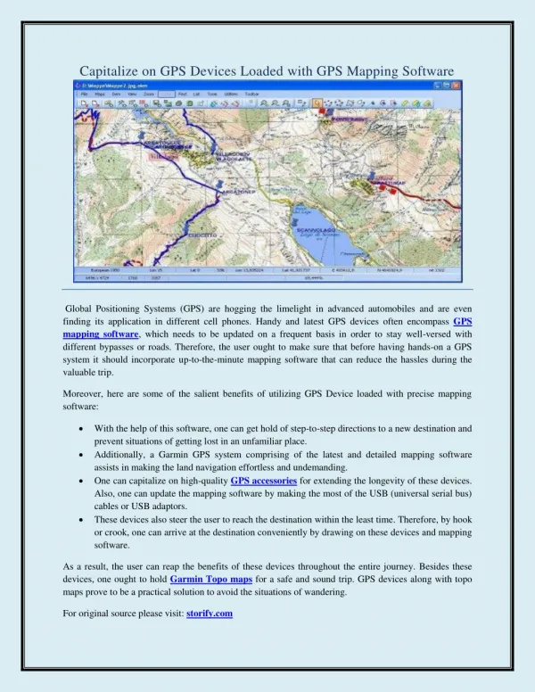
Learning with GPS. Presenter- Dan Carey dcarey90@gmail.com https://careywiki.wikispaces.com / August 11 and 12, 2009. Today’s Goals. Learn what is GPS How to work with a GPS unit Initialize it, collect data, enter data, clear data How it is used in the real world

E N D
Learning with GPS Presenter- Dan Carey dcarey90@gmail.com https://careywiki.wikispaces.com/ August 11 and 12, 2009
Today’s Goals • Learn what is GPS • How to work with a GPS unit • Initialize it, collect data, enter data, clear data • How it is used in the real world • Why it is important in education • Hands on practice
History of GPS Global Positioning System Began in the 1970’s for military purposes Fully operational April 1995.
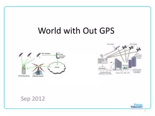
How a GPS works • Three components to Global Positioning Systems • Space segment • User segment – you holding the GPS unit • Control segment
Space Segment • Consists of 24 to 32 satellites that orbit earth that are sending precise radio signals to the GPS receiver Artist Interpretation of GPS satellite, image courtesy of NASA Source: http://www.navcen.uscg.gov/ftp/gps/ggeninfo/gps-iif.tif
User Segment • Consists of a GPS receiver • Can be a handheld unit • In your automobile • Farm equipment • Cell phone • A GPS receiver calculates its position by precisely timing the signals sent by the GPS satellites high above the Earth
Control Segment • The flight paths of the satellites are tracked by US Air Force monitoring stations • The tracking information is sent to the Air Force Space Command's master control station in Colorado Springs. Then contacts each GPS satellite regularly with a navigational update.
Putting it all together Space Segment User Segment Control Segment GroundAntennas Monitor Stations Master Station
How a GPS can be used • Military. • Search and rescue. • Disaster relief. • Surveying. • Marine, aeronautical and terrestrial navigation. • Remote controlled vehicle and robot guidance. • Satellite positioning and tracking. • Shipping. • Geographic Information Systems (GIS). • Recreation.
Sources of Signal Interference Earth’s Atmosphere Solid Structures Metal Electro-magnetic Fields
Waypoint • A waypoint is based on coordinates entered into a GPS receiver’s memory. • It can be either a saved position fix, or user entered coordinates. • It can be created for any remote point on earth. • It must have a receiver designated code or number, or a user supplied name. • Once entered and saved, a waypoint remains unchanged in the receiver’s memory until edited or deleted.
Planning a Navigation Route = Waypoint Start