Download
1 / 20
200 likes | 292 Vues
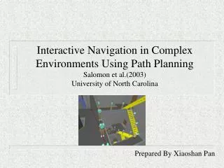
Interactive Navigation in Complex Environments Using Path Planning Salomon et al.(2003) University of North Carolina. Presented by Mohammed Irfan Rafiq Using Slides from Xiaoshan Pan(2003). Motivations.

E N D
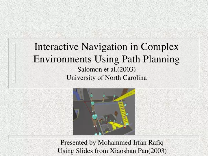
Interactive Navigation in Complex Environments Using Path PlanningSalomon et al.(2003) University of North Carolina Presented by Mohammed Irfan Rafiq Using Slides from Xiaoshan Pan(2003)
Motivations • The design and evaluation of complex engineering products requires interactive navigation using appropriate interaction modes. • Navigating in a driving mode with an unconstrained free-flying camera gives confusing views of geometry. • Earlier work on navigation with constrained camera motion are limited to be local navigation modes or in small environments.
Problem & Approach • How to automatically plan a motion path to assist 3D interactive navigation with a constrained camera in a complex environment? • The approach is to combine robot motion planning techniques and driving interaction methods. • Good application for a multi-query and visibility based roadmap • Inputs • model geometry and dimensions of the avatar
Constraints • Constrained avatar motion • Translation along a surface • Rotation about an axis orthogonal to the surface • Motion must lie on a walkable surface such as a floor or stairway • Can not walk up or down unreasonably steep slopes
Content • 2 modes of navigation: • Global • Pre-compute a global roadmap • Graph search (inigoal) in real-time • Display motion • Local • User-steered exploration
Runtime algorithm Basic Idea Preprocessing phase
Rc • Connectors • - Rc > Rg Guards & Connectors (C-space) • Reachability • -neighborhood around • a config that can be • reached using a local planner • Guards • - guards can’t see each other Rg
1. Pick a random config. c 2. Can c be a Connector? See any Guards in Rc? - Yes then connect, goto while (else goto 3) 3. Can c be a Guard? See any Guards in Rg? - no! c becomes a Guard, connect to connectors (if any), goto while - yes reject c, goto while c c c Algorithm (build_roadmap) While (map_coverage < P_cover), do // map_coverage = guards_reachable/entire_space Return roadmap Be a Connector Be a Guard Be rejected Connector Connector Connector Guard Guard Guard Guard Guard Guard
Roadmap – Connecting Nodes • Is c1 in Reach(c2,r)? • check if distance between the two locations is less than or equal to r • use the local planner to test if c1 is reachable from c2
Roadmap – Pruning Connectors • To remove redundant connectors and keep connectors with highest number of linked guards • If an existing reachable connecter join the same set of guards as the new connector, then discard the new connector • If an existing reachable connector only joins a subset of guards that is reachable from the new connector, then add the new connector and remove the existing connector
ini goal Search for a path: init goal • Initial position (Rc radius) • Goal position • Graph search…
Display Motion: Smooth Path • Walk along the path • Smoothing path (cutting redundant corners while walking) ini goal
Shooting rays Random Rays Gravity Roadmap - Sampling
Gravity Roadmap - Sampling • Shooting rays • Walkable surface • Construct roadmap ө ө
Roadmap - Analysis • Roadmap size • Number of guards is limited by mutual unreachability, number of connectors is minimized by connector pruning • In Practice, less than one connector for every guard • Estimated coverage • Maintain a tally of the number of samples that are reachable from at least one guard • The ratio of reachable samples to total samples is a lower bound on the ratio Nreachable/N • As N grows large, Nreachable/N converges to Areachable/A
User-steered exploration (local walk) • User has control • A directional vector • Robot do not penetrate objects • Robot always stays on a walkable surface • In free space • Surface within a tolerance angle • Steps ok, cliffs NO!!
Local Walk Algorithm • Follow the directional vector, if • - Goal is reached, stop • - Collision, project along obstacle edge • - New surface, step up/down (not a cliff!) • - Edge, step up/down or project along the edge
Local Walk • collisions below a certain height with non -walkable surfaces are permitted so that the avatar is able to step over low obstacles • when redirected the avatar is not allowed to move in a direction that makes an angle > 90 with the original direction
Limitations • the avatar follows the path in linear segments, hence the paths may look unnatural • the avatar cannot bend to look under objects • does not address the narrow passage problem • the precomputation process is time consuming • would require recomputing the graph for a dynamic environment