Download
1 / 14
140 likes | 276 Vues
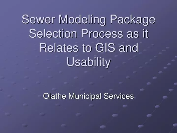
Sewer Modeling Package Selection Process as it Relates to GIS and Usability. Olathe Municipal Services. Topics. EPA SWMM Engine General Requirements of the Software Design of the Pilot Project GIS Users vs. Engineers. Storm Water Management Model (SWMM). SWMM was first developed in 1971

E N D
Sewer Modeling Package Selection Process as it Relates to GIS and Usability Olathe Municipal Services
Topics • EPA SWMM Engine • General Requirements of the Software • Design of the Pilot Project • GIS Users vs. Engineers
Storm Water Management Model (SWMM) • SWMM was first developed in 1971 • Analysis and design related to: • Stormwater runoff • Combined sewers • Sanitary sewers • Other drainage systems in both urban and non-urban areas.
Storm Water Management Model (SWMM) • SWMM tracks the quantity and quality of runoff generated within each subcatchment. • Flow rate, flow depth, and quality of water in each pipe and channel during a simulation period is modeled
Significant Value Added From Vendors • Use the SWMM engine as a background option for processing / calculating • Refined for additional processing capabilities • Widen available input formats • Widen available output formats • Improved visualizations like… • Animations, 3D, conduit cross sections • Data quality control tools • Bells & Whistles
General Requirements of the Software • Used for the analysis, design, and operation of the City of Olathe wastewater system. • Simulate natural rainfall-runoff processes in conjunction with the performance of the collection system. • This will allow City staff to better manage our resources and analyze the capacity of the system for future development.
Requirements Evaluation Scale • Model Functionality Max 35 points • Cost Max 20 points • Ease of Use Max 15 points • Data sharing (GIS, CAD) Max 10 points • Output quality Max 10 points • Pilot Test Max 10 points Total 100Points
They’re only 20% of the Evaluation… • Data sharing (GIS, CAD) Max 10 points • Pilot Test Max 10 points • These two areas carried a large portion of the weight, even though they only technically accounted for 20% of the total evaluation points. • Likely the case when GIS serves as the primary data source
Pilot Test Design • Personal Geodatabase containing: • Subset of existing sanitary sewer system • Future lift stations and force main features • DWG containing attribute information for the future lift stations • A definition of the scenarios to be analyzed for the future lift stations. • Rainfall and sewage flow data (Excel). • Outline of the desired sewer model capabilities. • Any firm that did not participate in the Pilot Test was removed from consideration
General Pilot Test Parameters • Run model with most basic model parameters • Average daily dry-weather load • Use the minimum KDHE sanitary sewer flow • Wastewater daily usage patterns • No Parameters • Rainfall related flows • Use synthetic rainfall: SCS Type 2. Consider 2-, 5-, and 10-year storm events, 24-hour frequency. • Assume that 0.9% of the rainfall flows into the sanitary sewers • Calibration • No Parameters
Changes To Pilot Data • Disconnected a few lines from manholes to evaluate data quality tools of packages • Intentionally removed a few flowline attributes from line features • Intentionally changed a few manhole rim elevations • Changed flow direction of certain pipe features • Made sure GIS features weren’t perfect
GIS Users vs Engineers • Attribute / geometry information that can be edited outside a GIS is a plus • Engineers don’t want to get modeling information mixed up with GIS. • Extensions to ArcGIS were not necessarily seen as a benefit. • Extension packages require ArcView license • Important to know which type of user will be modeling the system