Download
1 / 13
130 likes | 304 Vues
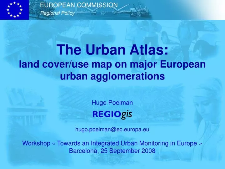
The Urban Atlas: land cover/use map on major European urban agglomerations. Hugo Poelman REGIO gis hugo.poelman@ec.europa.eu Workshop « Towards an Integrated Urban Monitoring in Europe » Barcelona, 25 September 2008. Main features.

E N D
The Urban Atlas:land cover/use map on major European urban agglomerations Hugo Poelman REGIOgis hugo.poelman@ec.europa.eu Workshop « Towards an Integrated Urban Monitoring in Europe » Barcelona, 25 September 2008
Main features • Creation of a high-resolution land cover/use map of urban areas • Thematic classes based on CLC nomenclature • More specific classes for built-up areas • Geometric resolution 1:10000 • Minimum mapping unit 0.25 ha (in class 1 areas; 1 ha in other areas)
Main data sources • Earth observation data 2.5 m resolution • Topographic maps 1:50000 • Navigation data (road network) • Sealing layer • Ancillary data for interpretation
Selection of urban areas • Compatible with Urban Audit definitions • Larger Urban Zones (LUZ) • Priority list of LUZs
Time frame • First reference year: 2006 +/- 1 year • All LUZ expected to be mapped within 3 years • Update envisaged every 3 to 5 years • Enhance comparability and reduce update costs by focusing on change analysis • Aiming at next reference year = 2011 • Compatible with census-related information and Urban Audit
Use of results • Take advantage of comparability with information from the Urban Audit • Derive indicators at the level of Urban Audit cities, LUZs, sub-city districts (SCDs) or raster cells
Outlook • First results (first series of cities on the priority list) during 2009 • Opportunity to test the development of relevant indicators and to explore their relationship with Urban Audit results or other data sources