Download
1 / 29
290 likes | 458 Vues
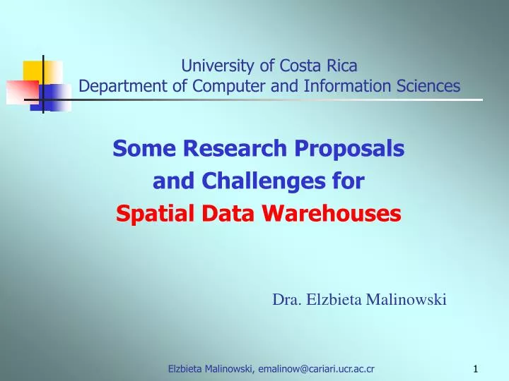
University of Costa Rica Department of Computer and Information Sciences. Some Research Proposals and Challenges for Spatial Data Warehouses. Dra. Elzbieta Malinowski. Presentation plan. Introduction Conceptual multidimensional model Spatial extensions Modeling issues

E N D
University of Costa RicaDepartment of Computer and Information Sciences Some Research Proposals and Challenges for Spatial Data Warehouses Dra. Elzbieta Malinowski Elzbieta Malinowski, emalinow@cariari.ucr.ac.cr
Presentation plan • Introduction • Conceptual multidimensional model • Spatial extensions • Modeling issues • Research challenges • Conclusions Elzbieta Malinowski, emalinow@cariari.ucr.ac.cr
DW and OLAP – general concepts • Data Warehouses – contain historical data for supporting decision-making process • On-Line Analytical Processing systems - facilitate manipulation of DW data • DW and OLAP require clear definition of facts, dimensions, and hierarchies • DW logical level design based on star/snowflake schema INTRODUCTION Elzbieta Malinowski, emalinow@cariari.ucr.ac.cr
Fact Table Attributes Hierarchy Measures Dimensions Star schema INTRODUCTION Elzbieta Malinowski, emalinow@cariari.ucr.ac.cr
store A 100 city X 300 store B 200 • Roll-up – transforms detailed measures into summarized data • Drill-down – converts aggregated measures into more detailed data OLAP operations • OLAP allows • Dynamic data manipulation • Automatic measure aggregations • Two operations require hierarchies INTRODUCTION Elzbieta Malinowski, emalinow@cariari.ucr.ac.cr
Why inclusion of spatial data? • Location included in DWs using names • Representing data in space helps to reveal patterns difficult to discover otherwise INTRODUCTION • Insights from spatial DBs Elzbieta Malinowski, emalinow@cariari.ucr.ac.cr
Spatial component: representation in space • Non-spatial component: conventional data Spatial databases • Spatial object – corresponds to real-world entity with spatial characteristics • It contains two components INTRODUCTION Elzbieta Malinowski, emalinow@cariari.ucr.ac.cr
San Jose San Jose Spatial components • Represented by geometry La Gloria • Topologically related INTRODUCTION La Gloria Elzbieta Malinowski, emalinow@cariari.ucr.ac.cr
Spatial data warehouses and spatial OLAP • Spatial databases are used for daily business manipulations: • Where is the closest store to my house? • Which highway connect Warsaw and Berlin? • Spatial data warehouses: • Combine spatial databases and data warehouses • Are used for managing and analyzing significant amount of historical data with spatial component • Analytical queries: • Find the best location for a new store • How the hazard events affect the road maintenance costs • Spatial OLAP – OLAP functionalities referring to spatial data INTRODUCTION Elzbieta Malinowski, emalinow@cariari.ucr.ac.cr
Why conceptual multidimensional model? • Lack consensus about the meaning of spatial DW • Lack of conceptual models for DW and OLAP and their spatial extensions • Multidimensional model is seldom used for spatial applications • Existing models for spatial DBs are not adequate INTRODUCTION Elzbieta Malinowski, emalinow@cariari.ucr.ac.cr
Our previous proposal • MultiDim model – conceptual multidimensional model • Based on the ER model • Allows representing elements required in DW and OLAP applications • Defines and categorizes different kinds of hierarchies • Extended to represent spatial and temporal data INTRODUCTION Elzbieta Malinowski, emalinow@cariari.ucr.ac.cr
Parent Child Root Leaf Model definition (1) • Dimension: level or one or more hierarchies • Leaf and root levels: first and last levels in a hierarchy • Hierarchy:several related levels • Level: entity type • Child and parent levels: the lower and higher levels MULTIDIM MODEL Elzbieta Malinowski, emalinow@cariari.ucr.ac.cr
Model definition (2) • Cardinality: the minimum and maximum numbers of members in one level related to members in another level • Criterion:expresses different hierarchal structures used for analysis MULTIDIM MODEL Elzbieta Malinowski, emalinow@cariari.ucr.ac.cr
Milk Gloria March 200 250 Model definition (3) • Fact relationship: n-ary relationship among leaf levels • Measures:attributes used for aggregations MULTIDIM MODEL Elzbieta Malinowski, emalinow@cariari.ucr.ac.cr
Spatial level– level with spatial characteristics • Geometry representation – for a level and/or its attributes Spatial extension of MultiDim model • Allows spatial levels, spatial hierarchies, spatial fact relationships, and spatial measures SPATIAL MODEL MULTIDIM Elzbieta Malinowski, emalinow@cariari.ucr.ac.cr
thematic and spatial levels Charleroi Tournai • Two spatial levels may be related thourgh different topological relationships Spatial hierarchies • Only spatial levels or SPATIAL MODEL MULTIDIM • Classification of different types of spatial hierarchies Elzbieta Malinowski, emalinow@cariari.ucr.ac.cr
Hierarchy classification SPATIAL MODEL MULTIDIM Elzbieta Malinowski, emalinow@cariari.ucr.ac.cr
Individual members city A touches, crosses, overlaps city A city A city B Classification of topological relationships • Which topological relationships are allowed? • Classification of topological relationships for aggregation procedures SPATIAL MODEL MULTIDIM Elzbieta Malinowski, emalinow@cariari.ucr.ac.cr
Representation of topological relationship Inclusion of predicate for spatial join operation Spatial fact relationships Relationship between two or more spatial dimensions SPATIAL MODEL MULTIDIM Elzbieta Malinowski, emalinow@cariari.ucr.ac.cr
Calculated using spatial or topological operators 50 Represented by geometry Spatial measures • Can occur with or without presence of spatial dimensions • Independent from the existence of spatial fact relationships • Two different types: SPATIAL MODEL MULTIDIM Elzbieta Malinowski, emalinow@cariari.ucr.ac.cr
Visualization of locations of accidents Aggregate locations of accidents according to some predicate involving time or insurance Amount of insurance paid in different geographic zones Different approaches for SDW modeling SPATIAL MODEL MULTIDIM Elzbieta Malinowski, emalinow@cariari.ucr.ac.cr
Research challenges (1) • Spatial measure aggregations considering • Their types • Distributive – reuse of aggregates, e.g., spatial union • Algebraic – additional treatments for reusing aggregates, e.g., center of n points • Holistic - new calculation with a row data, e.g., equi-partition • Topological relationships between hierarchy levels • Types of hierarchies Elzbieta Malinowski, emalinow@cariari.ucr.ac.cr
Research challenges (2) • Double-counting of spatial measures • Classification of topological relationships between spatial measures to avoid double counting problem Elzbieta Malinowski, emalinow@cariari.ucr.ac.cr
Research challenges (3) • Inclusion of 3-dimensional spatial objects • What kinds of applications need the multidimensional view of data in 3D? • What kinds of analysis could be done? • What aspects should be considered for modeling, implementation, visualization, …? Elzbieta Malinowski, emalinow@cariari.ucr.ac.cr
Research challenges (4) • Field data • Spatial hierarchies formed by levels represented by field data? • Spatial measures representing continues phenomena and their aggregation? • Spatial operations (Tomlin algebra)? Elzbieta Malinowski, emalinow@cariari.ucr.ac.cr
River described as area or as line • Multiple representations Research challenges (5) • Traversing spatial hierarchy levels with multiple representations? • Aggregation of spatial measures with multiple representations? • Relationship between multiple representations of levels and measures? Elzbieta Malinowski, emalinow@cariari.ucr.ac.cr
Research challenges (6) • Design methodology • No tradition for conceptual modeling in conventional DWs and spatial DBs • Lack methodology for SDW design • When to include spatial support? • In which order spatial support should be considered? • Preaggregation of spatial measures • Important for improving the response time for complex queries • Use of R-trees for optimizing calculations of aggregations • Combination of spatial and temporal support • What kinds of analysis require multidimensional view of data • How to combine spatial and temporal components? Elzbieta Malinowski, emalinow@cariari.ucr.ac.cr
Conclusions • MultiDimER model properly represents data requirements for SDW and SOLAP applications • Classification of different kinds of hierarchies existing in real-world applications helps users and designers to express requirements in an abstract manner • Spatial OLAP tool developers have a common vision of different features of a spatial multidimensional model and of the different roles that each element plays • Several research challenges Elzbieta Malinowski, emalinow@cariari.ucr.ac.cr
QUESTIONS? Elzbieta Malinowski, emalinow@cariari.ucr.ac.cr