Download
1 / 21
210 likes | 432 Vues
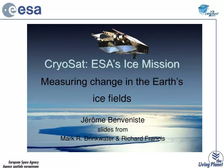
CryoSat: ESA’s Ice Mission Measuring change in the Earth’s ice fields. J érôme Benveniste slides from Mark R. Drinkwater & Richard Francis. Antarctic Ice-Cap. Courtesy National Geographic. Antarctic Elevation Change: 1992-2003. Wingham et al., 2006.

E N D
CryoSat: ESA’s Ice MissionMeasuring change in the Earth’s ice fields Jérôme Benveniste slides from Mark R. Drinkwater & Richard Francis
Antarctic Ice-Cap Courtesy National Geographic
Antarctic Elevation Change: 1992-2003 Wingham et al., 2006
Greenland Elevation Change: 1992-2003 Johannessen et al., 2005
Arctic Sea-Ice National Geographic NOAA
Sea-Ice Thickness Courtesy: R. Francis
Sea-Ice Thickness Measurementsfrom Space Courtesy: R. Francis
Sea-Ice Thickness Measurements from Space Courtesy: R. Francis
Sea-Ice Thickness Measurements from Space Courtesy: R. Francis
Arctic Sea-Ice Thickness Courtesy S. Laxon
Limitations of Footprint Size Image: SIR-C/X NASA JPL
CryoSat’s High-Resolution • Transmits bursts of 64 pulses: sequential echoes are correlated • Satellite moves 250 m between bursts • Aperture Synthesis technique gives 250 m along-track resolution, much higher than conventional altimeters (ERS-2/Envisat RA-2) • SAR Mode used over sea-ice to measure ice-floe freeboards and retrieve thickness
CryoSat’s High-Resolution • Transmits bursts of 64 pulses: sequential echoes are correlated • Satellite moves 250 m between bursts • Aperture Synthesis technique gives 250 m along-track resolution, much higher than conventional altimeters (ERS-2/Envisat RA-2) • SAR Mode used over sea-ice to measure ice-floe freeboards and retrieve thickness • SARIn mode used to measure topographic surfaces: interferometry
CryoSat’s Orbit Coverage • inclination: 92° • repeat cycle: 369 days • sub-cycle: 30 days • inter-track spacing: 7.5 km • orbit control: ±1 km • altitude: 717 km • not sun-synchronous Courtesy: R. Francis
The Effect of Snow Courtesy: R. Francis
The Effect of Snow Courtesy: R. Francis
Star Trackers Magnetometer SIRAL Antennas Thermal Radiator Laser Retroreflector S-Band Communications Antenna DORIS Antenna X-Band Downlink Antenna CryoSat Instruments
SIRAL Mode Operation 92˚ inclination, 369-day repeat, 30-day subcycle
Are humans really changing the polar environment? CryoSat – ESA’s first dedicated satellite for study of the polar regions – is focused on answering this question. CryoSat will deliver quantitative data on the rates of change of ice sheet and marine ice masses. Summary