Download
1 / 16
170 likes | 535 Vues
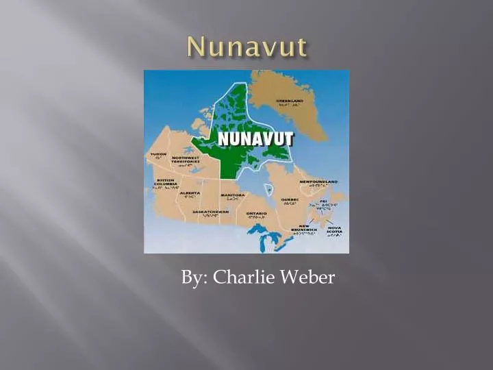
Nunavut . By: Charlie Weber. Nunavut . Capital: Iqaluit . Nunavut’s Commissionor. Ann Meekitjuk Hanson. Nunavut’s Land Size/Population. Land Size: 870,424 Population: 29,500 Square miles. (2,259,402 Square kilometers) and Includes the island in, Hudson, James, and

E N D
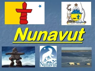
Nunavut By: Charlie Weber
Nunavut Capital: Iqaluit
Nunavut’s Commissionor • Ann Meekitjuk Hanson
Nunavut’s Land Size/Population • Land Size: 870,424 Population: 29,500 Square miles. (2,259,402 Square kilometers) and Includes the island in, Hudson, James, and Ungava bays
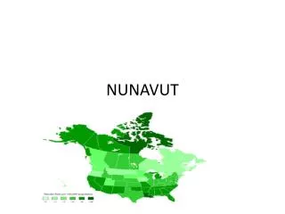
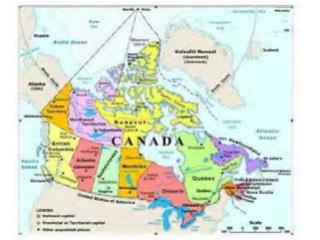
Nunavut’s Bordering Provinces/Territories/Waters • Northwest territory, Manitoba, Arctic Ocean, Atlantic Ocean, Hudson Bay Hudson Strait, Foxe Basin, Baffin Bay, Davis Strait
Nunavut’s Industry/Agricultrue Industry Agriculture • Industry in Nunavut Centers on fish and meat Processing • No farms as of 2001. • Not many crops due to a short growing season
Nunavut’s Largest City/Major Cities Largest City Major cities • Iqaluit • Alort, Kimmirut Pond Inllet, Grise Flord, Resscllute, Kuguktuk, Umingmaktok, Panrirtung, Arviat, Whale Cove, Rankin Inlet, Chesterfield, Inlet, Coral Harbor
Highest/Lowest Point Highest Point Lowest Point • Mount Barbeau, at 8,583 ft. on Northern Ellesmere Island • Hudson Bay
Major Rivers/ Lakes/ Mountain Ranges Rivers Lakes • Major rivers include the Back and Cooper mien which flow to the Arctic coast • Baker Lake Mountain Ranges: none
Historical Spots/ Places of Interest Historical Spots Places of Interest • Dorest Monument • Inukskuk • Quummaurviit Historical Park • Grise Fiord howe to offer a traveler • Iqaluit's Nuatta Sunakkaangit Museum
Nunavut’s Flower/Bird/Tree/Animal Flower and Bird Tree and Animal • Flower: Purple Saxifrage • Bird: Ptarmigan Lagopus mutus • Tree: Old Arctic Willow tree • Animal: Canadian Inuit Dog
Typical Weather different times of the year • Temperature in Iqaluit in January is -30 degrees C and 15degrees C in July • There are nearly 24 hours of daylight for four month in the northern most community
Customs/Traditions/Celebrations Dog Sledding, Arctic Food Celebration, Tumlet Day celebrates their turnout continuous daylight from mid April-mid August, Drum Dancing, throat singing
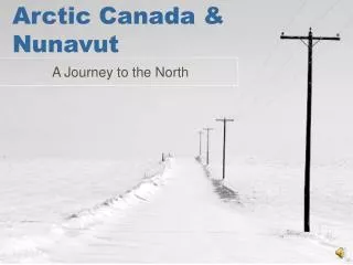
Other Interesting Information • Officially became a new territory of Canada on April, 1999 • There are no paved roads and long distance travel is largely by air
Credits • saskschools.ca/~greogory/canada/facts • library.educationworld.net • google.com • worldatlas.com • wiki.Answers.com
http://perceptivetravel.com/issues/0107/photos/volodya.jpg http://www.gov.nu.ca/commissioner/eng/commissioner_red.jpg http://sd71.bc.ca/sd71/edulinks/Canada/pictures/inuitd.jpg http://www.lesk.com/baffin04/nunavut.gif http://www.pch.gc.ca/pgm/ceem-cced/images/NVFLWRC.gif http://www.recreationnunavut.com/images/nunavut_bird.jpg http://farm1.static.flickr.com/1/94494_ad92252bf9.jpg http://www.polarnet.ca/~taloyoak/gifs/Nunavut%20Flag.gif http://www.cbc.ca/gfx/images/news/photos/2007/04/03/north-dograce-1-070403.jpg http://www.cbc.ca/news/background/aboriginals/gfx/map_nunavut.jpg