Download
1 / 17
170 likes | 184 Vues
Basin management plan. Case Sibalom watershed, Philippines. Marion Hermus Cornelia Rudolph Lennart Swinkels. Description. State of basin natural resources 18% of the original primary forests left (1999) Water intensively used Mineral rich area Trends: Environmental degradation

E N D
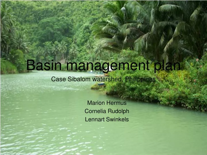
Basin management plan Case Sibalom watershed, Philippines Marion Hermus Cornelia Rudolph Lennart Swinkels
Description • State of basin natural resources • 18% of the original primary forests left (1999) • Water intensively used • Mineral rich area • Trends: Environmental degradation • Deforestation of rain forests and mangroves • Erosion and sedimentation • Floods and droughts • More extreme precipitation • Monitoring • No sign of basin management plans • No monitoring programs
Inventories • Land use • 80% cultivated land (mostly grassland, secondary forest, 1992) • Ecosystems • Tropical climate • 85% mountainous, 15% lowland • Water availability and demands • Seasonal dependancy and availability • 942 Mm³ runoff yearly • Pollution sources • minimal fertilizer use and only on terraced fields • No optimal information basis, more research/monitoring needed
Assessment • Ecosystem needs • Erosion • Sedimentation • Water allocation • Vulnerability • Sedimentation problems at corral reefs • Groundwater refill • Rain and groundwater availability • Implications of changing land use • Change in land use is necessary • Overview of current land use needed • Overview of possible types of land use, more suitable, economical suitable • Spatial planning
Stakeholders • Stakeholders • Inhabitants • 135 Barangays • 7 Municipalities • DENR • NGO’s (WWF) • Stakeholder needs • Housing, fuel wood, agricultural goods, etc. • Preserve political structure/organisation • Overview of needs and interests of other stakeholders • Mechanisms for participation • Gather information about current ways of participation; current democratic structure; • Create awareness among inhabitants, GO’s and NGO’s by informing and communication • Communicate with the leaders of barangays and municipalities
Priority issues • Get to know the ecological, social and economical system • Approach stakeholders, researchers, GO’s, NGO’s • Investigate lacking data • Start awareness process with local inhabitants and stakeholders
Goals • Short-term • Bring back forest cover on critical sites • Protect nature reserves by enforcing of existing rules and developing new rules • Long-term • Extend natural bio-dynamics • Erosion • Groundwater • Enhance the activities stability (sustainable economy) • Mitigate vulnerability to drought and flooding
Objectives • Water quality • Fertilizers • No exceeding of the carying capacity • Silt, floating matter • Coral • Decrease erosion processes • Water allocation • Fair distribution between nature and agriculture • Come up with and implement innovative solutions for water usage
Benefit shares • Compromises between stakeholders • National, regional and local • Win-win situation between nature and socio-economy • Using natural resources in a sustainable way • E.g. Forestry; • More nature, less floods and erosion
Scenarios • Scenarios • Autonamous • Worst case • Implement short term measures • Implement long term measures • Best case • Use • Awareness • Financial picture • Vision
Plans • Create a Basin Management Organization • Legal power to implement measures/plans • Enforcement ability • Start with priority issues • Getting to know the system, collecting information • Stakeholder involvement • Short term measures • Long term measures
Financing • International funding • WWF (nature) • World Bank (socio-economic) etc. • Development funding/aids • German technical cooperation (GTZ) etc. • National government • Local government • Taxes and fees
Responsibilities • Institutions involved • International and national policies and laws • Basin Management Organization • Municipal governments • Local Barangays • Local inhabitants • Guideline schedule • Gather information and talk to stakeholders: 1st year • Make detailed basin action plan: 1st and 2nd year • Work on short term measures: 1st till 3rd year • Work on long term measures: 3rd to 5th year
Monitoring • Monitoring of the adherence of laws, rules • Especially illegal logging • Monitoring of water quality and quantity • Flood early warning systems
Assignment 2 • Assumptions • 10 million m³ per river • 400 m wide • 1 meter depth: 25 km of river • 2 meter depth: 12,5 km of river • 3 meter depth: 8,3 km of river
Possible implications • Disturbed ecosystem in the riverbed and surroundings of the river • More drainage of the surrounding land • Groundwater flows might change • Erosion patterns will change (less coarse material) • Less floodings • Periodically disturbance traffic along the river, more noise from excavation activities