Download
1 / 4
40 likes | 199 Vues
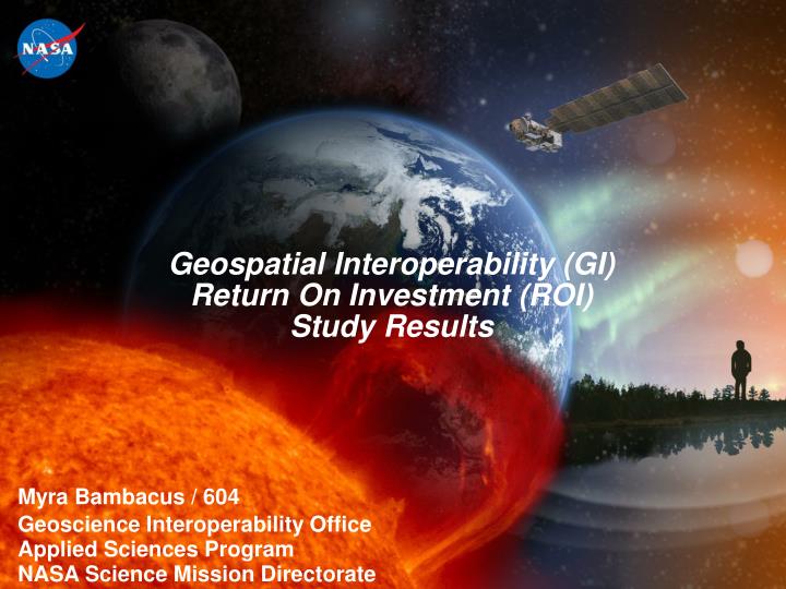
Geospatial Interoperability (GI) Return On Investment (ROI) Study Results. Myra Bambacus / 604 Geoscience Interoperability Office Applied Sciences Program NASA Science Mission Directorate. November 16, 2004. Integrating Knowledge, Capacity and Systems into Solutions. November 16, 2004.

E N D
Geospatial Interoperability (GI) Return On Investment (ROI) Study Results Myra Bambacus / 604 Geoscience Interoperability Office Applied Sciences Program NASA Science Mission Directorate
Integrating Knowledge, Capacity and Systems into Solutions November 16, 2004
Study Purpose • NASA has deployed 30 Earth-Sun System (E-SS) Spacecraft and 80 E-SS Sensors and collects terabytes of data daily. • NASA’s Integrated Systems Solution Architecture explains the importance of access to data, observation and data products and models. • To enhance NASA’s contribution to the Global Earth Observation System of Systems (GEOSS) architecture approach. • NASA’s goal….to further the access to NASA’s data in the most technologically feasible approach. • Systematic analysis of the quantitative and qualitative value of geospatial interoperability. • Increase capacity to respond to national needs (e.g. building the National Spatial Data Infrastructure (NSDI), homeland security, natural disasters, etc.) NOTE: GI ROI Study Report and related briefings will be posted at: http://gio.gsfc.nasa.gov