Download
1 / 18
180 likes | 345 Vues
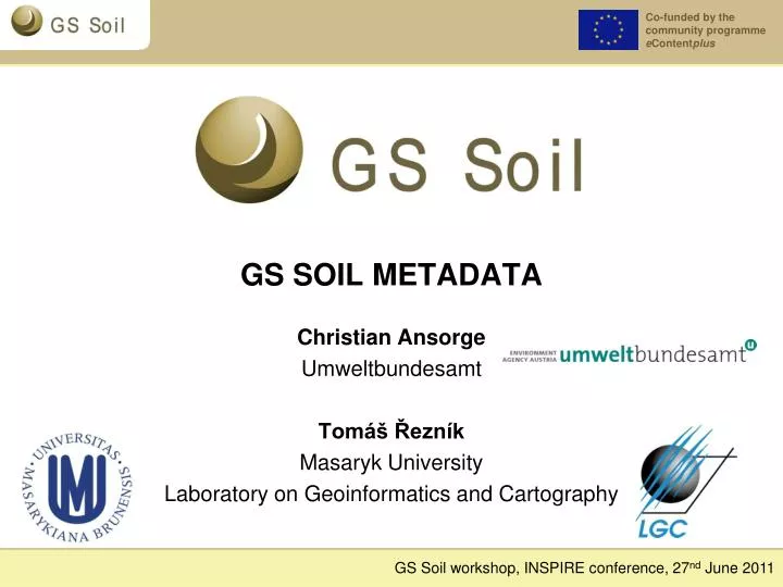
GS SOIL METADATA. Christian Ansorge Umweltbundesamt Tomáš Řezník Masaryk University Laboratory on Geoinformatics and Cartography. Aspects of soil metadata Review on WP3 actions in 2010 Soil metadata profile Recent WP3 actions Best practice guidelines. Soil metadata profile.

E N D
GS SOIL METADATA Christian Ansorge Umweltbundesamt Tomáš Řezník Masaryk University Laboratory on Geoinformatics and Cartography
Aspects of soil metadata • Review on WP3 actions in 2010 • Soil metadata profile • Recent WP3 actions • Best practice guidelines
Soil metadata profile SOIL PROFILE INSPIRE ISO CORE Mandatory ISO 19115 ISO 19119 ISO 19139
WP connections for the metadata WP2 WP3 D3.1 & D3.2 WP4 WP5 WP6 WP7
Review on WP3 actions in 2010 Development of soil metadata profile Deliverable 3.1 INSPIRE compatible metadata profile for soil geographic datasets and dataset series Deliverable 3.2 INSPIRE compatible metadata profile for soil geographic data services Deliverable 3.3 Preliminary best Practice Guidelines for creating and maintaining metadata for soil database
Purpose of D3.1 and 3.2 documents • Primary requirement – INSPIRE compliant metadata profiles – therefore Commission Regulation No. 1205/2008 (including Corrigenda 1) and their Technical Guidelines as well as Commission Regulation No 976/2009 as basic stones. • Therefore inspired by: • drafts of INSPIRE Annex I data specifications (especially TN, HY, PS) • INSPIRE methodologies (generic conceptual model, data specification development) • ISO, OGC and W3C standards to properly express soil-specific issues within their standardization framework
INSPIRE metadata (Commission Regulation No 1205/2008) Key word Resource type Resource abstract Unique Resource Identifier Resource title Topic Category Geographic Bounding Box Temporal Reference Lineage Conformity Conditions applying to access and use Limitations on public access Responsible party … Example of the printed map Sheet Freiburg-North (map representation acc. to the German topographic map 1:200.000)
Aspects of the Soil metadata profiles • Two metadata profiles: • for datasets and dataset series • for services • Compliant to the Commission Regulation No. 1205/2008 • Added soil theme-specific metadata elements • Well-described structure according to the ISO 19100 series standards • Within ISO 19115 framework • Examples of the XML encoding • Registered as the INSPIRE Reference Material
Added soil theme-specific metadata – – mandatory and conditional elements • Coordinate Reference System [1] • Encoding [1..*] • Character Encoding [0..*] • Source title [0..1] • Source date of mapping [0..*] • Spatial Representation Type [0..*] • Online digital transfer options [0..1] • Topology level [0..*] • Source mapping scale [0..1] • Completeness – Ommission[0..*] • Positional Accuracy – Absolute or external accuracy [0..*] • Thematic Accuracy – Classification Correctness – Misclassification rate [0..*] • Contains operations [0..*] • Service version [0..*]
Recent WP3 actions Development of soil metadata best practice guidelines Deliverable 3.4 Final best Practice Guidelines for creating and maintaining metadata for soil database
Best practice Best practice in general • Generally accepted • Informallystandardizedtechniques • methods or processes that have proven themselves over time to accomplish given tasks • maintainquality • an extension or alternative to mandatory legislated standards
Purpose of D3.4 documents • Soil data provider are unfamiliar with SDI • Support and guide soil data providers to fulfill their obligations regarding the INSPIRE directive • Ensure a common understanding and a high quality of metadata and their specific elements • Therefore INSPIREdby: • INSPIRE MetadataImplementing Rules: Technical Guidelinesbasedon EN ISO 19115 and EN ISO 19119 • INSPIRE methodologies (generic conceptual model, data specification development)
GS Soil metadata profiles • D 3.4 Best Practice Guidelines for creating and maintaining metadata for soil database • Cook-book for metadata • Definition of metadata profiles • For dataset and dataset series • For spatial data services • Including examples on conceptual (table) and implementation (XML source-code) levels • Data quality measures and recommendations • Thesaurus information (very brief, link to D 3.5) • Multilinguality issues • Related SDI aspects (feature catalogue, catalogue services, metadata connections from different levels)
Changes in metadata profile • Changes with respects to INSPIRE development • Technical guidelines on INSPIRE metadata v1.2 • Commission Regulation No 1089/2010 • Commission Regulation No 976/2009 • Technical Guidelines to INSPIRE Discovery services • Added Coordinate reference system, Encoding, … • Changes of GS Soil consortium opinions: • Added File identifier • AddedGeometricobject type metadata elements
Multilinguality issues <gmd:identificationInfo> <gmd:MD_DataIdentification> <gmd:citation> <gmd:CI_Citation> <gmd:titlexsi:type="gmd:PT_FreeText_PropertyType"> <gco:CharacterString>Agregovanápůdnímapa</gco:CharacterString> <gmd:PT_FreeText> <gmd:textGroup> <gmd:LocalisedCharacterString locale="#locale-en">Aggregated soil map</gmd:LocalisedCharacterString> </gmd:textGroup> <gmd:textGroup> <gmd:LocalisedCharacterString locale="#locale-de">AggregierteBodenkarte</gmd:LocalisedCharacterString> </gmd:textGroup> <gmd:textGroup> <gmd:LocalisedCharacterString locale="#locale-el">ΣυνολικόςΕδαφολογικόςΧάρτης</gmd:LocalisedCharacterString> </gmd:textGroup> </gmd:PT_FreeText> </gmd:title> .. </gmd:CI_Citation> </gmd:citation> .. </gmd:MD_DataIdentification> </gmd:identificationInfo>
Best practice and beyond • D3.4 were developed for and with soil data providers • Specific requirements as important part of metadata profile and best practice document • Benefits for data provider • Best practice document shall lead support them in fulfilling their INSPIRE obligations • Soil specific requirements are considered • Tools for creating and managing metadata were developed and provided to the data providers • Benefits for INSPIRE and SDI • Metadata will be available in time • High quality of data is ensured through a common understanding of metadata and data
What is next? • Special thanks to Tomáš Řezník • Looking forward talking with you about our soil metadata profile Modified from http://urbanext.illinois.edu