Download
1 / 19
200 likes | 501 Vues
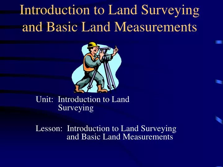
Introduction to Land Surveying and Basic Land Measurements. Unit: Introduction to Land Surveying Lesson: Introduction to Land Surveying and Basic Land Measurements. The science of making precise measurements over areas of land or water.

E N D
Introduction to Land Surveying and Basic Land Measurements Unit: Introduction to Land Surveying Lesson: Introduction to Land Surveying and Basic Land Measurements
The science of making precise measurements over areas of land or water Ag surveying is used to level land, construct waterways, install drainage systems, etc. What is Surveying
Used about 6,000 years ago by Egyptians to reestablish land boundaries after flooding of the Nile Used for mining, ocean floor studies, tunnels, and aeronautical applications History of Surveying
After the Revolutionary War the original states (13 colonies) transferred the western states to the federal government The U.S. adopted a national land survey in 1785-first government to do so History cont’d
Most western states were surveyed according to north/south meridian lines Land was surveyed before purchase and developed into townships Used mostly west of Ohio History cont’d
Based on the rectangular system 6 miles square Subdivided into sections containing 640 acres Subdivided into quarter sections of 160 acres each Many early farms were 160 acres Townships
A North or South measurement on this grid system is called a township Subdivided into 36 1 mile X 1 mile sections An East or West measurement on this grid system is called a range Townships and Ranges
US Land Distribution • The following states were distributed based on private landowner boundaries and surveys: • VA, NJ, MS, NH, PA, NY, MD, CT, RI, DE, NC, SC, GA, HA, KT, MA, TN, TX, VT, WV
US Land Distribution • The other 30 states were distributed based on U.S. Federal Government land grants via the township and range system
The largest grouping is the township which is named in reference to a Principal Meridian (P.M.) and a Baseline. T2N, R1E refers to Township 2 North (of the Baseline), Range 1 East (of the Principal Meridian).
Within each township are 36 sections, each one mile square. Each section contains 640 acres. The sections are numbered from 1 to 36 in the following order.
Within each section, the land is referred to as half and quarter sections. A one-sixteenth division is called a quarter of a quarter, as in the NW1/4 of the NW1/4. The descriptions are read from the smallest division to the largest.
Rivers, lakes, streams, hill crest lines were used by early North American settlers Latitude was used for the boundary of states Example is the Mason-Dixon Line Boundaries
Egyptians used the human body The distance from your elbow to the end of your middle finger was standardized = 18.24 inches = cubit The great pyramids were built using this measuring system Measurements
1 Rod = 16.5 feet Henry VIII said that an acre = 160 square rods 1 acre also = the area that a team of oxen could plow in 1 day The chain was developed and 1 chain = 66 feet 1 mile = 80 chains = 5,280 feet = 1 side of a 640 acre township Rods, Acres, and Chains
The Homestead Act • The grid system and the use of the chain further explains the Homestead Act
1 chain = 66 feet 1 acre = 43,560 square feet 10 square chains = 1 square acre 1 section = 640 acres = 1 square mile Homestead Act = 160 square acres Homestead Act cont’d
Pacing Taping Odometers = measures the number of revolutions for a given size wheel Tachymetry = observing a rod that has a scale on it and taking the difference between an upper and lower reading Electronic Devices/Lasers Other Methods of Measuring Linear Distances
Lesson Closure • Discuss the history of land surveying • Identify the township/land grid system • Analyze various land measurements and relate them to previously learned lesson materials