Download
1 / 42
520 likes | 1.17k Vues
JORDAN CASE STUDY GULF OF AQABA. Sustainable Management of Scarce Resources in the Coastal Zone SMART. By Muhammad R Shatanawi University of Jordan. Overview of Jordan. Geographical Localization: Latitude: between 29 º 11´ N and 33 º 22´ N

E N D
JORDAN CASE STUDYGULF OF AQABA Sustainable Management of Scarce Resources in the Coastal Zone SMART By Muhammad R Shatanawi University of Jordan
Overview of Jordan • Geographical Localization: • Latitude: between 29 º 11´ N and 33 º 22´ N • Longitude: between 34 º 19´ E and 39 º 18´ E • Area : 89,400 sq. Km • Jordan can be divided into three distinct regions from west to east: • Jordan Rift Valley • Plateau • The Semi Desert (Badia)
Overview of Jordan • The Jordan Rift Valley is part of the Great Rift Valley where it runs from lake Taberia in the North to the Gulf of Aqaba to the south. Officially the area bounded by elevations of 400 m below sea level and 300 m above sea level is called the JRV. • The plateau elevation varies from 300 m to about 1200 m. • The Badia Region encompass about 90% of the country and it is a semi desert area.
POPULATION Population Analysis of Jordan from 1961 to 2001
Economic Performance Jordan Basic Data
Water Resources Summary of water supply (MCM/year)
Water Resources Water Requirements (MCM/year)
Water Resources Water Supply and Requirements (MCM/year)
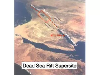
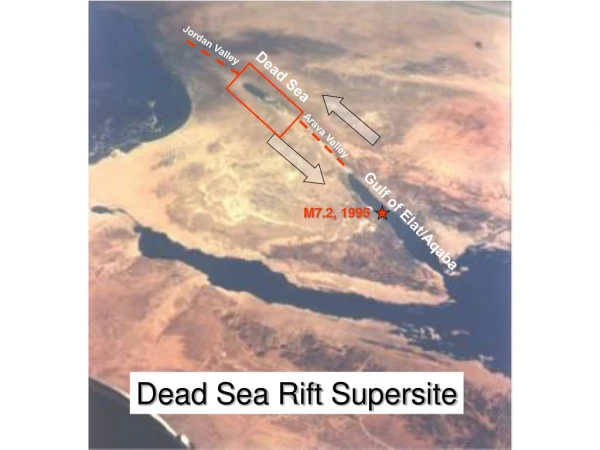
Gulf of Aqaba The Gulf of Aqaba is a small semi-enclosed northwestern branch of the Red Sea, 180 km long and 5 to 26 km wide. It reaches a maximum depth of 1828 m and an average depth of 800 m.Egypt occupies most of the Gulf's western shore, stretching some 200km northward from RAS Mohammed National Park, at the southern tip of the Sinai Peninsula, to the resort complex at Taba, before the Israel border. Israel, with a coastline of approximately 14 km, runs from the Taba border crossing, through the resort town of Eliat. Jordan's 26.5 km stretch of gulf coast runs southward to Saudi Arabia, which has some 130 km of largely undeveloped coastline.
Aqaba Governorate Total Area 6904 Km2 represent 7.4 % of Jordan. It consists of four counties:
Water Resources for Aqaba Aqaba City • No surface water • Groundwater 17 MCM/y from 17 wells comes from: - Dissi well field - Abu Dba’a wells - Wadi Al- Yutum wells • Treated wastewater • Future desalination Wadi Araba County • There is a potential for surface water small Dams on side wadis to catch the flush floods • groundwater 1.5 MCM/y • Desalinated Brackish water 0.3 MCM/y • No treated effluent
Water Resources for Aqaba Quayrah County • No surface water • Groundwater 1.1 MCM/y from 5 wells • Groundwater for Agriculture 6.5 MCM • No treated effluent (septic Tanks are used) Dissi County • No surface water • Groundwater produce 3.0 MCM from domestic • Agricultural Activities consumes 20.0 MCM
AQABA City Aqaba economic growth over the past two decades has been accompanied by a parallel growth in population. Since 1972, Aqaba has expanded from a small town of 10,000 to a city of 85,000 inhabitants today. By the year 2005, Aqaba is predicted to reach a population of 115,000. Beyond the year 2005, the region's planners anticipate a doubling of the coastal population to approximately 230,000 by the year 2020, taking into account current plans for resort hotel and vacation community development as well as a new town of "Taibeh" in the upland area of Jordan's southern coastal zone.
AQABA SPECIAL ECONOMIC ZONE AUTHORITY In a step toward economical reform, the Aqaba special economic zone (ASEZA) was established by a law in 2000. The law provides low tax and duty free business environment. The authority utilize the existing utilities, physical and social infrastructure. It shall encourage investors to do business and provide attractive package of incentives. ASEZA workplan define the long-term strategy for organizing andmanaging thegrowth of Aqaba
Land use units in Aqaba(modified After Water Authority of Jordan,2000)
Activities that Affect Environment • Aquatic Tourism • Oil Spills • Waste Oil Contamination • Air Pollution from Land Transportation • Solid Waste • Phosphate dust • Chemical pollution from industries • Thermal pollution from Power Plant • Sewage discharge • Return flow from Irrigation
Industrial Activities Most of the Industrial activities are located in the South Coast Industrial Zone adjacent to Saudi Border. The main activities are: • JPMC Industrial Complex • The Thermal Power Plant • Arab Potash Corporation
Jordan Phosphate Industrial Complex • Utility Unit • Water Treatment Unit • Steam Unit • Power Generating Unit • Sulfuric Acid Factory • Phosphate Acid Factory • Fertilizer Factory • Aluminum Fluoride Factory
Jordan Phosphate Mining Company Fertilizer Factory Produces: 740,000 tons of DAP 270,000 tons of Phosphoric Acid Utilizes : Sulfuric Acid Reject : Gypsum Release : 20,000 m3/hr of cooling water Issues : ship loading and unloading risk of flash floods from gypsum mountains. This contain fluorine
Aqaba Thermal Power Plant Produces : 260 MW Expansion : 520 MW consumes : 1200 tons of fuel oil per day Discharge : 38,000 m3 of cooling water at 20 m depth and 200 m away Temperature : 5-8°C above ambient temperature Issues : Impact on marine life Oil transport via tankers Sulfur release from the plant (35 tons/ day) CO2 generation and gas emission
Solvochem Tank Farm It Serves as port reception and storage facilities for imported chemicals. The Tank Farm contains 17 tanks and projected to increase to 31 tanks in the future. About 12,000 tons of chemical and 400 tons of oil are received every year.
Arab Potash Company Storage Facilities • Store : 75,000 tons in two separate places • Generate: Dust from Conveyors
Phosphate Dust from Export • The dust is generated from ship loading facilities in Aqaba and Eliat. In spite of safety measures, substantial quantities of dust emission occur during the unloading of phosphate from trucks and train cars and during ship loading • the dust can contribute to depressed coral growth, but reduction in the dust is feasible through improved choke feeder operation, and changing of equipment
Sewage Discharge About 65% of the population are served with sewage collection system and treatment plant. The remaining 35 %, living in the old city, are still using septic tanks. Some of these tanks leak and do not meet the standards with the result that some untreated sewage percolate into underlying groundwater aquifers. The treatment plant of 9000 m3/day capacity, operates now at 50% capacity (4500 m3/day). About 1600 m3 are lost as seepage to groundwater and about 1400 m3 are lost as evaporation. The effluent ranges from 750 m3 to 1500 m3 in summer and winter, respectively. These amounts are used for landscape and agricultural irrigation.
Return for Irrigation The treatment plant for Aqaba city will be upgraded to reduce evaporation and seepage losses and to improve effluent quality. The generated amounts will be used for irrigation of palm trees, forage crops, landscape, street bushed and the potential golf course. With the sandy soil condition, deep percolation from irrigation is not available. It is expected that with the best irrigation management and systems, the losses can reach 20-25%. This amounts will percolate to shallow groundwater and eventually will reach the Gulf
Potential Impact for Future Development • development of new Hotels and resort cities • Increase in population due to new job opportunities • The proposal Red Sea-Dead Sea Canal • new Industries • Hasad liquid fertilizer • Kemira Arab Potash Company • Lumber Factory • Tourist Activities • Housing Development
Institutional Framework and Stockholder • Aqaba Special Economic Zone Authority • The Ports Corporation • The Royal Jordanian Navy • Aqaba Municipality • Aqaba Marine Science Station • Public Institutions • Ministry of health • Ministry of Water and Irrigation • The Water Authority • Ministry of Tourism and Antiquities • Ministry of Environment • Non-Government Organization • Jordan Environment Society • Royal Scientific Society • Royal Society for Conservation of Nature • Royal Diving Club • Regional and International Institutions
Laws and Regulations Domestic • Law of ASEZA established in 2000 • law of Environmental Protection (1955) • By- Law of the Ministry of Environment • Jordan Standard Specification (No 20,1991) • Jordan Standard Specification (No 893,2002) • Shipping law (1961) • Waste discharge from ship (regulation) • Agricultural Law (2002) • Water Authority Law
Laws and Regulations • International • Jeddah Convention (1982) for the Conservation of the Red Sea • Basel Convention (1989) Transboundary Movement of Hazards waste and their disposal. • International Convention for the prevention of Pollution from ships • Bi-Lateral agreements and Arrangements