Download
1 / 45
450 likes | 459 Vues
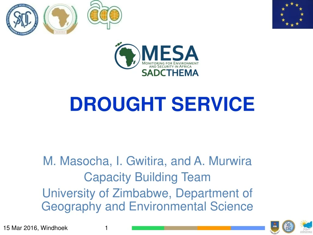
DROUGHT SERVICE. M. Masocha, I. Gwitira, and A. Murwira Capacity Building Team University of Zimbabwe, Department of Geography and Environmental Science. Scope of Presentation. Rationale Techniques for detecting drought Satellite based methods Drought forecasting Data access

E N D
DROUGHT SERVICE M. Masocha, I. Gwitira, and A. Murwira Capacity Building Team University of Zimbabwe, Department of Geography and Environmental Science
Scope of Presentation • Rationale • Techniques for detecting drought • Satellite based methods • Drought forecasting • Data access • Tools for drought service
Background • Monitoring drought is important for national agricultural and environmental planning • MESA aims to develop a regional - wide access to Geoinformation services for drought
Drought service - Overview Based on Drought Monitoring System (MESA-DMS) Target: 17 production chains Delivers “Drought maps” and “Drought Outlooks” in support of both agriculture and environmental issues • Key-Users • National Level : • Ministries of Agriculture • Ministries of Environment • Regional Level : SADC
Drought Detection & Monitoring • There are several indices used to detect and monitor drought • We differentiate two classes: • Meteorology-based indices such as SPI • Remote sensing based indices e.g., VCI
Drought monitoring has one main goal • To provide an early alert of drought • Drought Parameters: • Duration • Magnitude • Intensity • Geographic Extent • Frequency
Vegetation Performance maps • DP01: NDVI difference • DP02: Long-term average NDVI • DP03: Long-term average cumulative NDVI • DP04: Long-term standard deviation of NDVI • DP05: Long-term maximum of NDVI
Vegetation Performance maps • DP06: Long-term minimum of NDVI • DP07: VCI • DP08: SDVI • DP09: PASG
Rainfall Maps • DP10: Total cumulative rainfall – monthly, seasonal so far • DP11: Long-term average rainfall – Ten-daily • DP12: Percentage of long-term average rainfall – Ten-daily or longer period
Rainfall Maps • DP13: Drought risk map (Boolean type) • DP14: Drought risk map (Graded type) • DP15: Graphs – based on average value of summarizing polygon • DP16: Graphs – Based on area within polygon where an index is lower than a specific cut-off value • DP17: Rainfall Decile (monthly, 3-monthly,6-monthly, 12-monthly)
NDVI is calculated as follows • whereρNIR andρRindicate reflectance in the near-infrared and • red bands of the electromagnetic specific regions, respectively
NDVI Difference • NDVIdiff = NDVIi –NDVILT • NDVILT is the long-term average NDVI
Standardized difference vegetation index (SDVI) • SDVIi =(NDVIi-NDVILT)/(STDEVNDVIi) • Where: • STDEVNDVI is the long-term standard deviation of NDVI over the period e.g., dekad
From NDVI, VCI is calculated as: • where NDVIi is the smoothed 10-day NDVI for the ith dekad, • NDVImax and NDVImin are the absolute maximum and minimum NDVI, respectively, calculated for each pixel based on long-term record
VCI interpretation • Values range from 0 to 100 • Values below 50% indicate different drought severity • A threshold value of 36% signifies an extreme drought condition
Percent of Average Seasonal Greenness (PASG) • PASG is a phenology metric based on time-series NDVI
PASG • where SGPnYn refers to the seasonal greenness (SG) for a ten-day period (Pn) of a specific year (Yn) and xSGPn is the historical average for the same ten-day period
Aridity Index (AI) • Aridity Index = MAP/MAE • Where: MAP = Mean Annual Precipitation & MAE = Mean Annual Potential Evapotranspiration
Decile Index • Decile-based system is considered superior to other techniques for monitoring meteorological drought
General formula to locate the position of a decile • Where: • Di is the ith decile • k is the decile and • N = number of observations
Data and data sources • Data used can be downloaded via a Web browser and are available through EUMETCast. • 10-daily NDVI composites for Africa • For pre-2014-07 data, these are the SPOT VEGETATION NDVI (S!)) products • e.g.: V2KRNS10__20121001_NDVI__Africa
Data and data sources • The SPOT data are available at: http://www.vgt4africa.org or http://free.vgt.vito.be/ • These have been replaced by PROBA-V NDVI data since mid-2014: • e.g.: g2_BIOPAR_NDVI_201409110000_AFRI_PROBAV_V2_1
Satellite Rainfall • 10-daily rainfall estimates for Africa • FEWSNet 10-day Satellite Rainfall Estimates for Africa • Rainfall data used have been developed by NOAA CPC and are available, through FEWSNet, at: • http://earlywarning.usgs.gov/fews • Data can be imported without prior transformations.
PET • Daily potential evaporation estimates for the globe • Potential evaporation data developed by NOAA CPC are available, through FEWSNet, at: http://earlywarning.usgs.gov/fews
Drought Forecasting • Forecasting Techniques: • Regression models • Time series models • Probabilistic models
Modelling Framework Source: Mishra and Singh 2011
LRF • The LRF service comes in as a support service produced monthly by South African Weather Service (SAWS)
Validation • Further research is needed to validate all products and develop new indices • Collaborative research between regional universities is essential
Product Dissemination • EUMETCast Station Data (17 Products)
Tools for drought service • MESA Drought Monitoring System (DMS) • ILWIS • MESA SADC Toolbox • Geonetcast toolbox • Others
Drought service-development • Generated using the MESA Drought Software. • 17 products are generated by DMS • All of these products are currently being routinely distributed via EUMETCast Operationally disseminating products since July 2011 15 Mar 2016, Windhoek 15 March 2016, Windhoek
THANK YOU This presentation has been prepared with the financial assistance of the European Union. The contents are the sole responsibility of MESA SADC THEMA and can under no circumstance be regarded as reflecting the position of the European Union 16 March 2015, Windhoek