Download
1 / 18
180 likes | 303 Vues
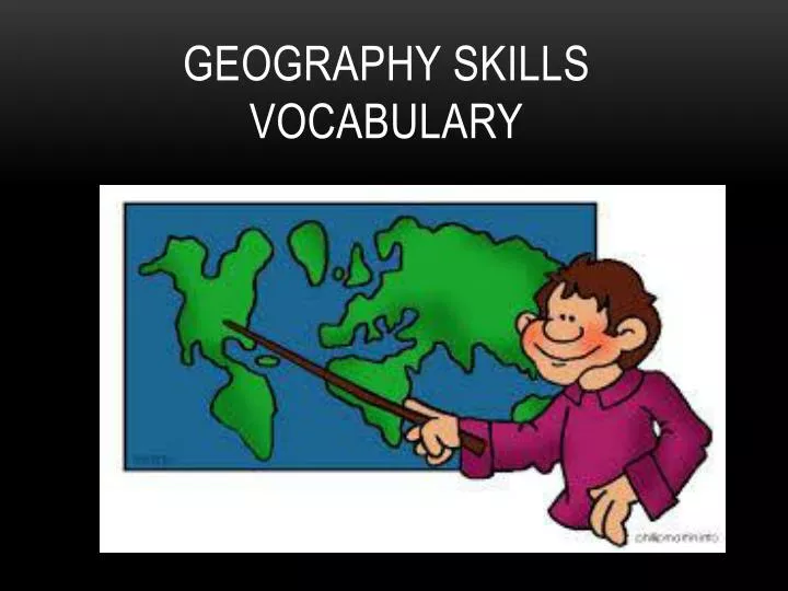
Geography Skills Vocabulary. 1. Grid System. Pattern formed as the lines of latitude and longitude cross one another. Used to determine location on the earth. 2. Latitude. Lines that run east & west on the earth. Used to show distance north & south of the equator. 3. Longitude.

E N D
1. Grid System Pattern formed as the lines of latitude and longitude cross one another. Used to determine location on the earth.
2. Latitude Lines that run east & west on the earth. Used to show distance north & south of the equator.
3. Longitude Lines that run north & south on the earth. Used to show distance east & west of the Prime Meridian.
4. Globe A round scale model of the earth.
5. Map A symbolic representation of all or part of the planet.
6. Cartographer Mapmaker
7. Map Projection Projection of the round earth on a flat surface.
8. Geographic Information Systems Used by cartographers. Computer tools for processing and organizing details and satellite images with other pieces of information.
9. Key A list that explains what the symbols on a map are used for.
10. Compass Rose A marker that indicates direction.
11. Cardinal Directions North, South, East, & West
12. Intermediate Directions Northeast, Northwest, Southeast, Southwest
13. Scale Bar Shows the relationship between map measurements and actual distances.
14. Physical Map Shows the location and the shape of the earth’s physical features
15. Political Map Shows the boundaries between countries, and often other things such as cities.
16. Special Purpose Map A map that emphasizes a single idea or a particular kind of information about an area.
Remaining Vocab Words 17. Location 18. Small Scale Map 19. Large Scale Map 20. Absolute Location 21. Relative Location 22. General Purpose Map 23. Topography 24. Relief 25. Elevation 26. Contour Lines 27. Graphs 28. Line Graph 29. Bar Graph 30. Circle (Pie) Graph 31. Chart (or Table) 32. Diagram