Download
1 / 15
170 likes | 503 Vues
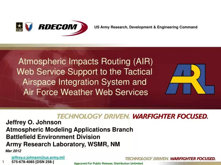
US Army Research, Development & Engineering Command. Atmospheric Impacts Routing (AIR) Web Service Support to the Tactical Airspace Integration System and Air Force Weather Web Services. Jeffrey O. Johnson Atmospheric Modeling Applications Branch Battlefield Environment Division

E N D
US Army Research, Development& EngineeringCommand Atmospheric Impacts Routing (AIR) Web Service Support to the Tactical Airspace Integration System and Air Force Weather Web Services Jeffrey O. Johnson Atmospheric Modeling Applications Branch Battlefield Environment Division Army Research Laboratory, WSMR, NM Mar 2012 jeffrey.o.johnson@us.army.mil 575-678-4085 [DSN 258-]
Atmospheric Impacts Routing (AIR) Web Service Support to TAIS and AFW-WEBS Outline • Atmospheric Impacts Routing (AIR) • 3D Weather Impacts • AIR Details • Status • Visualization • Tactical Airspace Integration System (TAIS) and AIR • Air Force Weather Web Services (AFW-WEBS) and AIR • Summary
Atmospheric Impacts Routing Overview Atmospheric Impacts Routing (AIR) • Research Objectives: • Improve survivability and movement efficiency of air and ground platforms and systems. • Develop routing technologies which allow avoidance of adverse weather and other obstacles during mission execution. • Develop technologies which facilitate decision-making for air and ground platform/system movements. • Warfighter Value/Impacts: • Optimized air and ground movement. • Decreased friendly force losses and increased mission success rates. • More efficient use of platforms, weapon systems, and personnel. • Ongoing Coordinated Development: • Air Force Weather Agency (AFWA) “AFW-WEBS” web services integration (AIR delivered Aug 2011). • Tactical Airspace Integration System (TAIS, PEO Aviation) web services integration (AIR delivered Dec 2011). • Coalition Attack Guidance Experiment II (CAGEII).
3D Weather Impacts (1 of 2) • AIR can utilize 3D weather impacts as input. • My Weather Impacts Decision Aid (MyWIDA) Gen II will be a set of web services that a user can invoke (independent of the reference GUI, seen here) to determine 3D impacts on systems (ground or air). • Resultant impact volume can be ingested and processed by AIR. • Or, user can furnish the weather (or other) impacts independent of MyWIDA. Prototype MyWIDA Gen II Reference GUI
AIR Details • AIR calculates an optimized air (or ground) system route based on atmospheric impacts and obstacles along the path. Path optimization employs A* search algorithm. • Both the AIR Web Service and AIR View Standalone Application: • Are written in Java (platform independent). • Ingest 3D “impact” grid(s) (e.g., weather impacts from MyWIDA). • Allow 3D volumes to be avoided. • E.g., areas of known threat; conflicting friendly activity; or other potential obstacles which may be represented as 3D volumes. • Generate output in industry standard Google Earth/Maps Keyhole Markup Language (KML).
AIR Status (1 of 2) • AIR Web Service (and reference client) prototype developed and successfully test-deployed on web service application server (Glassfish). • AIR reference client requires only a web browser to run. • AIR View standalone (w/GUI): • Output: • 2D plot (Java 2D graphics) including move time (hrs) and distance (km). • Google Earth KML output of optimized path, including “fly-thru” tour. • Can run from a CD. KML Output 2D Plot Output
AIR Status (2 of 2) • AIR – Current Capabilities (service and standalone): • User inputs: • Desired path (two or more waypoints). • Platform speed (m/s) for each segment. • Choice of “least risk” or “higher risk” routes for user decision-making. • Boundaries – vertical or 3D volumes (e.g., restricted airspace, “no-fly” zones, other obstacles). • Output: • Google Earth/Maps KML AIR-generated optimized path(example in later slides). • Prototype Demonstration: • Calculates approximately 1000 potential paths/routes per second in 3D space. • Successfully tested with 50 levels of 50x50 grids. • Successfully tested on multiple platforms (Windows, Linux).
AIR Visualization AIR-generated 4D flight paths as “playback files” (Google Earth KML output format) Mission End Longer, Lower RiskPath No-Fly / No-Go Zones, Obstacles Shorter, Higher Risk Path Note: Constant height/2D only shown for visual clarity. Mission Start
Tactical Airspace Integration System (TAIS) TAIS Mission: Provide automated Airspace Command and Control and enroute Air Traffic Services to users. When Current Ops domains and Airtracks are displayed, operational impacts of weather on the airspace become readily apparent.
4D Weather Impacts Grid RETURN: 4D Weather Impacts Grid Waypoints Route Choice Conflict Volumes Aircraft-Specific Weather Impacts Threshold Rules TAIS, 3D Weather Impacts, and AIR 4D Weather Forecast Grid RETURN: Google KML Route AIR Request Route + + TAIS MyWIDA Request Asset(s)
Air Force Weather Agency AFW-WEBS AFWA’s Air Force Weather Web Services (AFW-WEBS). AFW-WEBS screenshot • AFW-WEBS provides weather information using Open-Geospatial Consortium (OGC) – standard Web-Mapping Services (WMS). • AFW-WEBS allows for dynamic (rather than previous static) weather data retrieval, and requires only a web browser to operate. The AIR web service is designed to directly interface with AFWA’s AFW-WEBS.
Summary • An optimized routing solution for air and ground movements can increase mission success rates and decrease friendly force losses. • Atmospheric Impacts Routing (AIR) application and web service generate optimized paths through 3D grids of impacts/obstacles/adverse conditions. • AIR output is in industry standard Google Earth/Maps KML. • Recent (Dec 2011) delivery of AIR to supplement TAIS web services is in direct support to Army airspace management. • AIR development continues enhancements to support web service-based developments within the Army (TAIS) and Air Force (AFWA).