Download
1 / 11
110 likes | 414 Vues
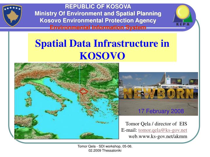
17 February 2008. REPUBLIC OF KOSOVA Ministry Of Environment and Spatial Planning Kosovo Environmental Protection Agency Environmental Information System. Spatial Data Infrastructure in KOSOVO. Tomor Qela / director of EIS E-mail: tomor.qela@ks-gov.net web.www.ks-gov.net/akmm.

E N D
17 February 2008 REPUBLIC OF KOSOVA Ministry Of Environment and Spatial Planning Kosovo Environmental Protection Agency Environmental Information System Spatial Data Infrastructure in KOSOVO Tomor Qela / director of EIS E-mail: tomor.qela@ks-gov.net web.www.ks-gov.net/akmm Tomor Qela - SDI workshop, 05-06. 02.2009 Thessaloniki
Total Area – 10908.18 km2 (KAK) Administrative Units – 30 municipalities (38 with decentralization proces) Population – about 2.2 million / h (SOK) • Administrative Units: • Municipalities • Cadastral Zones • Settlements KOSOVO Don’t have SDI, in national level But, we have lot of spatial data in institutional level Government is in process to build national web GIS Tomor Qela - SDI workshop, 05-06. 02.2009 Thessaloniki
The implementation of a spatial data infrastructure for the: • Cadastral data • Mining data • Agricultural data • Environmental data • Transport and telecommunication data • Other vectorial data • Census GIS database started in 2005. It will be used for the pre-census activities,during the general enumeration and for the post-census phase, It aims to be a first SDI for Kosova, towards compliance with the GISCO reference database and INSPIRE initiative • Ministry of Energy, Mine and Minerals start too implement project for the nacional web GIS, in 2008 Tomor Qela - SDI workshop, 05-06. 02.2009 Thessaloniki
Main components and characteristics of the spatial data • Raster data: digital colored othophotos taken in 2004 • Raster data: digital colored Satellite images, september 2008 • Vector layers: • Administrative and statistical units • Roads • Buildings • Points of interest • Natural Protection areas • Cultural heritages protection areas • Mining areas • Other layers • Attribute data: • Codes • Estimates of the number of dwellings by administrative and statistical units • Estimates of the number of households by administrative and statistical units • Road names in urban areas • Cartographic products: • Administrative maps • EA maps in official languages • Spatial reference system: KOSOVAREF (ETRS89 Transverse Mercator) Statistical Office of Kosova “Spatial data infrastructure in SOK” Tomor Qela - SDI workshop, 05-06. 02.2009 Thessaloniki
8 THE SPATIAL CENSUS DATA. Administrative and statistical units Administrative Units: Municipalities Cadastral Zones Settlements Statistical Units: Census supervisor areas Census controller areas Census Enumeration Areas Statistical Office of Kosova Settlements, 1,466 Municipalities, 30 “GIS for Statistics”, Luxembourg, March 3, 2008 Example of the output of map updating activity at EA level with reference to the 2004 data source: Census Enumeration Areas, 5,000 (approximately) Tomor Qela - SDI workshop, 05-06. 02.2009 Thessaloniki Cadastral Zones, 1,301
7 THE SPATIAL CENSUS DATA. Aerial ortho-imageries, 2004. Now SOK have and Satellite Images - September 2008 Statistical Office of Kosova 15 cm Kadastral Agency of Kosova “GIS for Statistics”, Luxembourg, March 3, 2008 20 cm Tomor Qela - SDI workshop, 05-06. 02.2009 Thessaloniki
9 THE SPATIAL CENSUS DATA. Other census geographic data Statistical Office of Kosova “GIS for Statistics”, Luxembourg, March 3, 2008 Grid of aerial ortho-imageries, 1 sq km Buildings, 520,000 (estimate) Tomor Qela - SDI workshop, 05-06. 02.2009 Thessaloniki
10 THE GEOGRAPHIC HIERARCHY FOR THE GIS CENSUS DATABASE Statistical Office of Kosova Pomozotin Settlements & Cadastral Zones Municipalities “GIS for Statistics”, Luxembourg, March 3, 2008 Buildings in one EA Tomor Qela - SDI workshop, 05-06. 02.2009 Thessaloniki Enumeration Areas
GIS Data Base for Maiming areas in Kosovo Tomor Qela - SDI workshop, 05-06. 02.2009 Thessaloniki
Environmental GIS data Base Tomor Qela - SDI workshop, 05-06. 02.2009 Thessaloniki Municipality Spatial Data Infrastructure in local level
? Thanks ? Tomor Qela - SDI workshop, 05-06. 02.2009 Thessaloniki