Download
1 / 18
180 likes | 316 Vues
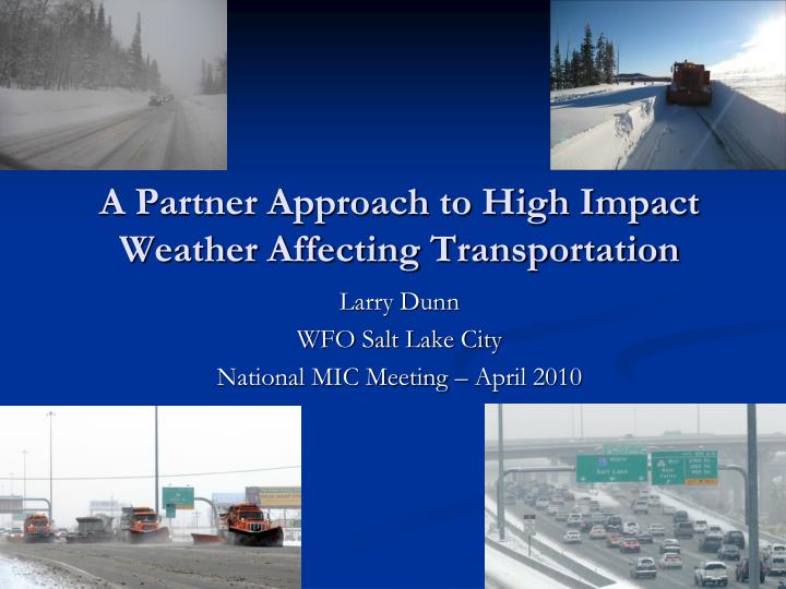
A Partner Approach to High Impact Weather Affecting Transportation. Larry Dunn WFO Salt Lake City National MIC Meeting – April 2010. Outline. Photo courtesy UDOT. Partnership Joint Projects Latest Project Weather Impacts on Roads in the Salt Lake City metro Future work. UDOT Operations.

E N D
A Partner Approach to High Impact Weather Affecting Transportation Larry Dunn WFO Salt Lake City National MIC Meeting – April 2010
Outline Photo courtesy UDOT • Partnership • Joint Projects • Latest Project • Weather Impacts on Roads in the Salt Lake City metro • Future work
UDOT Operations • Meteorologists at the UDOT Traffic Operations Center (TOC) • UDOT Staff Meteorologist • Private sector meteorologist group embedded within TOC • I-80 corridor weather support to multiple DOTs • Specific forecasts for 40 sheds in Utah Photo courtesy UDOT
NWS/UDOT Partnership • Forecast Collaboration • UDOT participation in NWSChat • Coordinate threats and impact wording • Consistent message in UDOT and NWS products as well as on VMS signs • Winter weather • High wind events (I-80, I-15, US-50) • Dense fog around the Great Salt Lake • Wildfires • Forecasts from NWS grids available on • UDOT Commuterlink site (xml from NWS) • UDOT 511 telephone system • Internal UDOT webpage for each mile post
NWS/UDOT Partnership Road in Southern Utah – Feb 2010 Photo courtesy KSL-TV • Weather data collection • Mesonet Sensors • NWS - Sensors and communications • UDOT - Road temperatures, pad and fence • UDOT Traffic Cams shared with NWS • Road Impacts Project • Highly instrumented travel corridors (2002 Winter Olympics) • NWS/UDOT/University of Utah (Sociology Dept) • COMET Partners Project • Workshops and Visits • UDOT Mets attend and present at WFO Workshops • UDOT Mets visit NWS Office • WFO Forecaster visits to UDOT TOC • Softball/Volleyball/Local AMS Chapter
Winter Weather Road Impact Project • Congestion results in annual cost of $250 million in Utah (UDOT) • Recurring (i.e., AM/PM peak commute times) • Non-recurring congestion (weather, accidents) • Inclement weather plays a significant role in non-recurring congestion • Delays, mobility, productivity, and safety • “Large weather events cause trips to take 40-50% longer” (UDOT report) • Performance Measurement System (PeMS) • 240+ sensors in the SLC Metro • High temporal (5 min) and spatial resolution (1/2 mile) • Level of Service • Vehicle Miles Traveled • Vehicle Hours Traveled • Flow • Speed • Delays
Weather Impact on Commute “This is a striking finding – but it seemed intuitive on further consideration. The only things that affect the entire road system around Salt Lake City are snowstorms, or major holidays. Other sources of delay (crashes, thunderstorms, congestion) tend to be more localized.” (UDOT)
Factors in Event Impact Photo courtesy UDOT Time of day Day of week Snowfall rates Snowfall amounts Road temperatures Mitigation strategies Holidays Public perception/preparedness
Review of Winter 2008-09’ Impacts 11 events from the winter 2008-09’ Relationship to forecasts Discussions and statements What were common factors in events with the greatest impacts? Comparison of two events 5 January 2009 19 December 2008 Photo courtesy KSL-TV
5 Jan 2009 – Well forecast….but Photo courtesy KSL-TV • 1-3” forecast for Salt Lake Valley prior to onset • Verified well • Winter Weather Advisory issued near onset • Based on potential impacts on the afternoon commute • Minimal discussion of impact in days leading up to event • Several significant storms had preceded this event
Road Considerations and Impacts • Road temperatures in the low to mid 20s F • Snow stuck to roads at onset • Limited mitigation options available • Numerous crashes in Salt Lake and Utah Counties • Worst commute of the season 26 23 24 24 22 5 Jan 2009 - Road temperatures ~ 420 PM MST
19 December 2008 Add image • More ‘ramp-up’ to the event • Watch issued 36 hours before onset • Winter Storm Warning issued ~21 hours before onset • Area Forecast Discussion – 442 PM 17 Dec 2008 - …With very cold temps expect snow to rapidly accumulate on area roadways… • Winter Storm Warning – 302 PM 18 Dec 2008 …Snow expected to rapidly accumulate along area roadways and result in treacherous driving conditions… ..Much of this snow may be occurring during the late afternoon and early hours which would have a very significant impact on the evening commute…
Road Considerations and Impacts • Roads temperatures remained near 30° F • More effective mitigation • Level of service remained higher throughout the event • Aggressive mitigation prior to and during event • 3-7” storm total 30 29 23 30 29 19 Dec 2008 - Road temperatures ~ 400 PM MST
Speed and Flow • Similarities between the two events • Drop in discretionary travel • Travel is not displaced in time • Speed and flow drop off rapidly right after snow onset • Differences • Speed trough on the 5th was lower • More significant impact on the 5th • Increase in flow (above normal) prior to snowfall onset on the 19th
Preliminary Findings • Biggest impacts associated with afternoon commute • Closer to capacity • Snowfall rates and timing > Snowfall amounts • Road temperatures are critical • Mid 20s°F or lower • Change of behavior based on weather • Significant loss of discretionary travel • Increase in travel ahead of well forecast storm Photo courtesy KSL-TV It is important to note that one of the most cost effective solutions for mitigation of the congestion problem is driver habit modification. – UDOT
Applying What We’ve Learned • High confidence in forecast and road impacts may result in common message from NWS, UDOT, NorthWest Weathernet, Media • 7 December 2009 Decision Support • Coordinated with UDOT on potential impact • Identified area of highest impact • Coordinated impact-based statements • Winter Storm Warning • Commuterlink 511 travel info line • Media - Scrolling banner similar to convective warnings Ivins, Utah – March 2006 “UNNECESSARY TRAVEL IS DISCOURAGED TONIGHT ALONG ALL OF INTERSTATE 70 AND INTERSTATE 15 FROM SANTAQUIN SOUTH TO ST GEORGE.”
Partners Project Submission I-215 in Salt Lake City – 8 December 2009 Desired outcome: Modified commuter behavior that leads to improved mobility and safety. • Multisector approach • NWS/UDOT/University of Utah • Targeted surveys via research firm • 3 events = 1200 completed surveys • Collection and analysis of: • Levels of awareness • Sources of information • Responses to road/weather info • Identify effective strategies for communicating critical information
Summary Central Utah Highway – February 2010 Photo courtesy KSL-TV Multi-year relationship building Learning the impacts Working together toward common goals Blueprint for other partnerships