Download
1 / 8
80 likes | 231 Vues
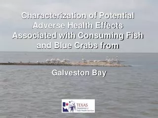
Historical and Cultural Importance of the Galveston Bay Estuary. By: Nicole Ekstrom Texas A&M Galveston. Galveston Bay Estuary. 600 mi 2 17 miles wide and 30 miles long 4-6 ft average depth Trinity and San Jacinto rivers

E N D
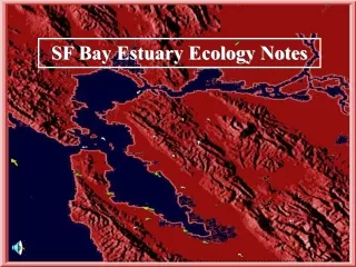
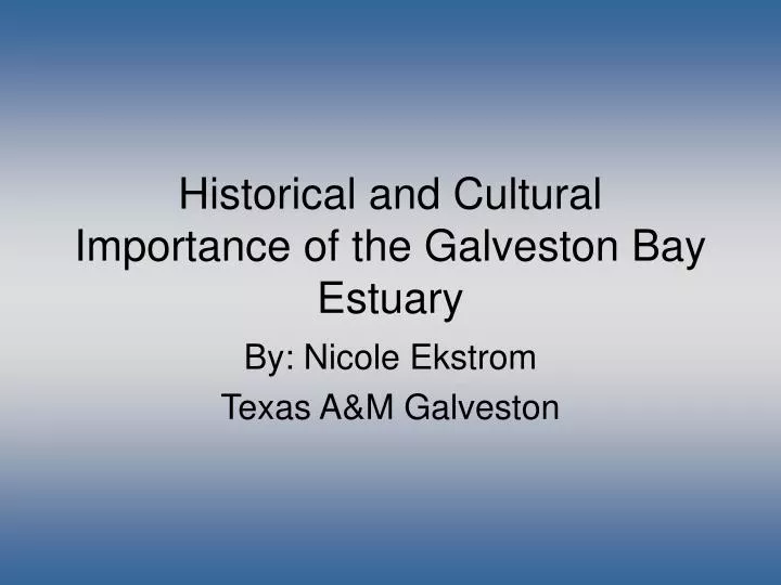
Historical and Cultural Importance of the Galveston Bay Estuary By: Nicole Ekstrom Texas A&M Galveston
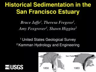
Galveston Bay Estuary • 600 mi2 • 17 miles wide and 30 miles long • 4-6 ft average depth • Trinity and San Jacinto rivers • Habitats include: marshes, mud and sand flats, seagrass beds, oyster reefs, open bay bottoms and open bay water Image from: Google
Early Inhabitants – Karankawa Indians • Nomadic • Arrived 1400’s, extinct by 1840 • Known as “people who walk on the water” • Left midden sites of shell debris at camps • (Cartwright, 1991; Texas Beyond History2009) Image from: Texas Parks and Wildlife Department Painting by Frank Weir Image from: http://www.worldwaterfowl.com/showthread.php?t=380&page=2 Drawing by Hal Story (from Newcomb 1984, courtesy of University of Texas Press)
Explorers, Pirates, and Settlers • 1528: Cabeza de Vaca shipwrecked • 1600’s: Pirates used the Island as a rendezvous point • 1786: Jose de Evia, under Bernardo de Galvez, names Galveston Bay and Island • 1817: Jean Lafitte’s colony at Laffite’s Grove • May explorers spoke of “Three Trees” • (Kleiner; Cartwright 1991; Galveston.com; Winningham, 2010) Image from: Errol Lincoln Uys. A Novel of America. http://blog.erroluys.com/2009/01/three-spaniards-came-wearing-thousand_12.html Geoff Winningham. 2010. Traveling the Shore of the Spanish Sea: The Gulf Coast of Texas and Mexico Image from: http://www.squidoo.com/jeanlafitte
The Rise of Galveston Bay • 1825: Port of Galveston was established • 1839: Galveston incorporated. The port exported 70% of the nation's cotton, along with large amounts of cattle, rice and other commodities. • Early 1800’s: Fish, shellfish, lumber, clay, harvested from bay. Cattle ranches formed. Shipping done by sailing vessels. • Late 1800’s: Dredged channels created, shell midden harvested for railroads, overharvesting of oysters from cold shipping, steam boats increased exports. • (Lester and Gonzales, 2002; Port of Galveston, 2009) Image from: Wallisville Heritage Park Image from: US Navy
1900’s Industrialization • 1900 storm: Sept. 8, 1900. 8000 deaths • Commerce diverted to Texas City • 1903: Goose Creek Oil Field • 1908: First oil refinery built in TC • 1917: Houston Ship Channel • 1918: 22 Industries along HSC • 1929: Eight refineries • 1930’s: Deepening and widening of HSC • WWI&II: Factories producing aviation fuel, synthetic rubber, and ships • Post WWII: Shrimping becomes major industry • 1970’s: Galveston Bay "the most polluted body of water in the U.S.“ • (GBEP, 1993; GBEP, 2002) http://en.wikipedia.org/wiki/File:GooseCreekFieldPart1919.jpg http://www.1900storm.com/photographs/index.lasso
Modern Times • Port of Houston: 785,000 jobs $118 billion of statewide economic impact (POHA 2009) • $400 million wholesale commercial fishing industry (FOGISP) • $2 billion Texas saltwater sport fishing industry (FOGISP) • >2,600 Materials and Chemical companies in Houston (Manta 2010) • >1,300 Transporation and shipping companies (Manta 2010) • Over $4.2 billion were generated into the Texas economy by travel related activities in the Galveston Bay watershed area (GBIC) Image from: REUTERS/David J.Phillip/Pool Maritime Texas Blog. http://maritimetexas.net/wordpress/?tag=voyager-of-the-seas Image from: Eric W. Pohl Maritime Texas Blog. http://maritimetexas.net/wordpress/?tag=voyager-of-the-seas Image from: Bahia Mar Charters
Literature Cited Cartwright, G. 1991. Galveston a history of the island. Pp.17-24 Diana J. Kleiner, "GALVESTON COUNTY," Handbook of Texas Online (http://www.tshaonline.org/handbook/online/articles/hcg02), accessed January 13, 2011. Friends of Galveston Island State Park. Driving Tour Points of Interest: Galveston Island State Park. http://www.fogisp.org/files/driving_map.pdf Galveston Bay Estuary Program. 2002. State of the Bay. Chapters 1-3 and 4-5. Galveston Bay Estuary Program. 1993. The History of Galveston Bay Resource Utilization. Pp. 17-25. Galveston Bay Information Center. Bay Facts. http://gbic.tamug.edu/gbayfastfacts/gbff_menu.html Galveston.com. Island History. http://www.galveston.com/history/ Manta Media Inc. 2010. Transportation and Shipping Companies and Materials and Chemicals. http://www.manta.com/mb_51_ALL_KKS/houston_tx Port of Galveston. History of the Port of Galveston. 2009. http://www.portofgalveston.com/about/history.shtml Port of Houston Authority. 2009. http://www.portofhouston.com/geninfo/overview1.html Texas Beyond History. 2009. Native peoples of the coastal prairies and marshes in early historic times. University of Texas Austin. http://www.texasbeyondhistory.net/coast/peoples/index.html Winningham, G. 2010. Traveling the Shore of the Spanish Sea: The Gulf Coast of Texas and Mexico. Part 2: Galveston Island to Port Lavaca