Download
1 / 6
60 likes | 190 Vues
Oceans, Continents, and Maps. October 31, 2013 By: Kiara Mohamed. Map Types. Political Map - state and national boundaries; also includes the locations of cities. Physical Map – shows mountains, rivers, and lakes ; also shows different colors to show elevation.

E N D
Oceans, Continents, and Maps October 31, 2013 By: Kiara Mohamed
Map Types • Political Map - state and national boundaries; also includes the locations of cities. • Physical Map – shows mountains, rivers, and lakes ; also shows different colors to show elevation. • Topographic Map – has contour lines instead of colors to show landscape.
Map Types • Climate Map – shows weather of an area and climate zones • Economic or Resource-specific type of natural resources in an area • Road Map- shows major and miner highways and roads • Thematic Map- focuses on a special topic or special theme
Latitude and longitude • Latitude – lines that run East to West • Longitude – lines that run North to South
scale • SCALE - The distance from one point to another point
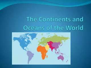
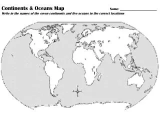
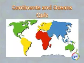
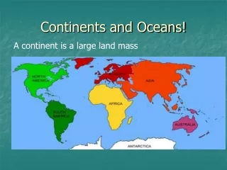
Oceans and continents • * The Pacific Ocean - North America • *The Atlantic Ocean - South America • *The Indian Ocean - Antarctica • *The Arctic Ocean - Europe • - Africa • - Asia • - Australia