Download
1 / 17
230 likes | 771 Vues
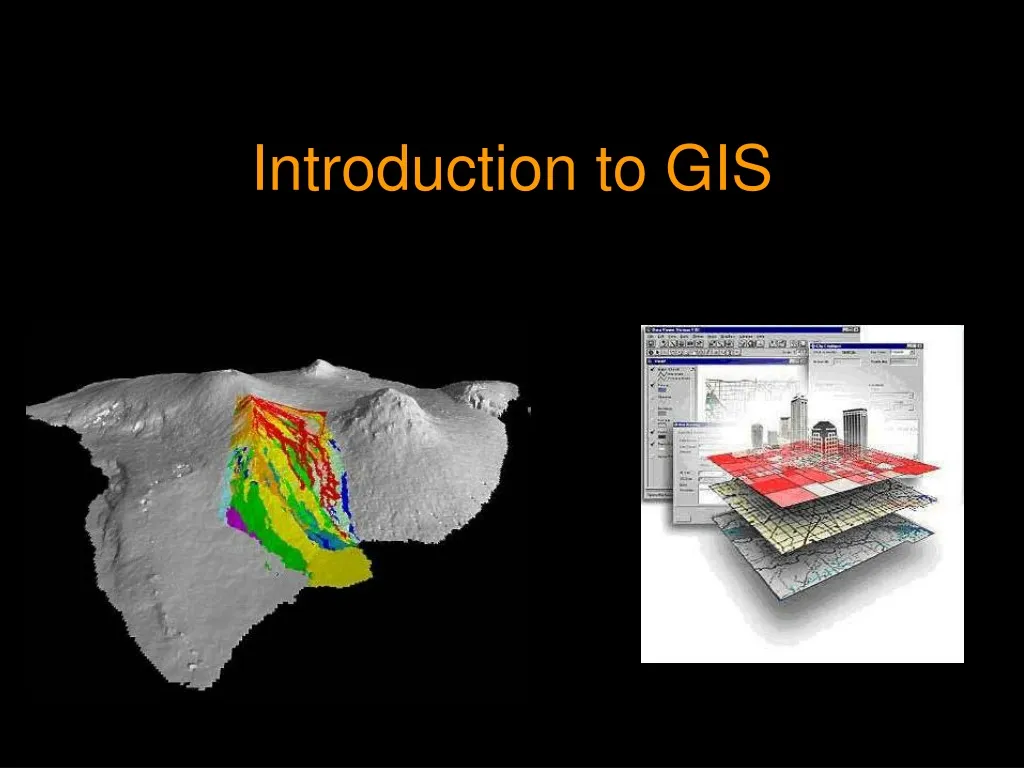
Introduction to GIS. GIS Definitions. A map connected to a database A computerized data base management system for capture, storage, retrieval, analysis, and display of spatial data Key concept: well-designed system of data and tools. GIS requires understanding basic principles in:.

E N D
GIS Definitions • A map connected to a database • A computerized data base management system for capture, storage, retrieval, analysis, and display of spatial data • Key concept: well-designed system of data and tools
GIS requires understanding basic principles in: • Mapping and cartography • Database design If you focus only on mappingordatabase design, your GIS will not be as good as it can be.
Concepts are most importantSoftware can be learned more easily • What remains constant: • Spatial analysis concepts are relatively stable • All GIS software programs support basic analysis concepts • What changes frequently • Tools, user interfaces, inclusion of additional capabilities (e.g., 3D, spatial statistics) • Data formats • Focus more on concepts not just on software training
GIS strengths • Good database management system for spatial information • More efficient updates • Easy and effective display • Able to integrate data from many different sources (but…)
GIS Weaknesses • Cost and difficulty of database creation • Higher accuracy, higher costs • Integration of data from diverse sources can result in poor overall accuracy if not well managed • Representation of dynamic data – flows, dispersion, people, time • Representation of fuzzy data
Data Input and Output • Data Input • Procedure for encoding data into the computer; 2 types = SPATIAL and ATTRIBUTE data • Usually a major bottleneck in implementing a GIS • 5 common types of data input include: • Keyboard entry • Scanning • Manual digitizing • GOGO (Coordinate Geometry – used by surveyors) • Input of existing digital data
Data Input and Output • Data Input (cont.) • Metadata = “data about the data” and includes: • Date of collection • Positional accuracy • Classification accuracy • Completeness • Method used to collect and encode data • Data Output • Hard Copy (paper/mylar maps, reports, etc.) • Soft Copy (eg. Powerpoint, Web, etc.)
Metadata • Metadata (meta data, meta-data, or sometimes metainformation) is “data about data”. Metadata is an emerging practice with close ties to librarianship, information science, information technology and GIS. It can be applied to a vast array of objects including both physical and electronic items such as raw data, books, CDs, DVDs, images, maps, database tables, and web pages. Since the emergence of the Dublin Core metadata set and the internet, use of metadata has experienced a considerable growth in popularity as businesses and other organizations seek to organize rapidly growing volumes of data and information.
GIS and GPS One of the right-side tires of the Space Shuttle Columbia recovered near Hemphill, Texas in 2003. Shuttle debris locations were mapped using GPS. Maps were then developed to guide debris recovery efforts and assess hazardous material. Photo by Stephen C. Brown.
GIS and GPS Space Shuttle Columbia debris recovered through the use of Geographic Information Systems (GIS) and Global Positioning System (GPS) technology.Photo by Stephen C. Brown.
GIS and GPS Integration Techniques • Data-focused Integration • Position-focused integration • Technology-focused integration
Data-focused Integration • Garmin Rino 110/120 + • DNR Garmin + • ArcView 10
Position-focused integration • Garmin iQue M5 + • ArcPad 7.1/8.0/10
Technology-focused integration • Magellan ProMark 3 + • MobileMapper Office
Summary • GIS = Map + Database • Mapping AND Database both important • Constant = spatial analysis concepts • Changes = software tools, data formats • Strengths = good spatial data management, speed, integration of data • Weaknesses = higher costs for higher accuracy, some data types hard to model • Metadata = data about the data Important • 3 Types of GIS/GPS Integration = Data/Position/Technology Focused Integration